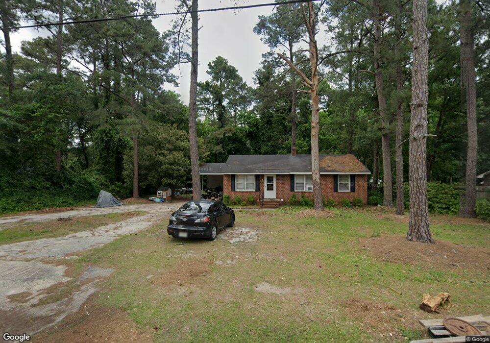
151 Forest Dr Darlington, SC 29540
Estimated Value: $84,308 - $158,000
3
Beds
2
Baths
1,433
Sq Ft
$85/Sq Ft
Est. Value
About This Home
This home is located at 151 Forest Dr, Darlington, SC 29540 and is currently estimated at $122,077, approximately $85 per square foot. 151 Forest Dr is a home located in Darlington County with nearby schools including J. L. Cain Elementary, Brunson-Dargan Elementary School, and Darlington Middle School.
Ownership History
Date
Name
Owned For
Owner Type
Purchase Details
Closed on
Oct 19, 2018
Sold by
S & K Properties Llc
Bought by
Kirhy Properties 2 Llc
Current Estimated Value
Purchase Details
Closed on
Mar 11, 2013
Sold by
Kirby Dawn S and Stokes Dewey
Bought by
S & K Properties Llc
Purchase Details
Closed on
Jan 2, 2013
Sold by
Eh Pooled 412 Lp
Bought by
Kirby Danw S and Stokes Dewey
Purchase Details
Closed on
Jun 13, 2012
Sold by
Wells Fargo Bak Na
Bought by
Eh Pooled 412 Lp
Purchase Details
Closed on
Dec 22, 2011
Sold by
Atkinson Leroy Glenn
Bought by
Wells Fargo Bank Na
Create a Home Valuation Report for This Property
The Home Valuation Report is an in-depth analysis detailing your home's value as well as a comparison with similar homes in the area
Home Values in the Area
Average Home Value in this Area
Purchase History
| Date | Buyer | Sale Price | Title Company |
|---|---|---|---|
| Kirhy Properties 2 Llc | -- | None Available | |
| S & K Properties Llc | -- | -- | |
| Kirby Danw S | $31,000 | -- | |
| Eh Pooled 412 Lp | $25,000 | -- | |
| Wells Fargo Bank Na | $40,000 | -- |
Source: Public Records
Tax History
| Year | Tax Paid | Tax Assessment Tax Assessment Total Assessment is a certain percentage of the fair market value that is determined by local assessors to be the total taxable value of land and additions on the property. | Land | Improvement |
|---|---|---|---|---|
| 2025 | $471 | $3,040 | $0 | $0 |
| 2024 | $471 | $3,040 | $0 | $0 |
| 2023 | $471 | $2,830 | $0 | $0 |
| 2022 | $471 | $2,830 | $0 | $0 |
| 2021 | $471 | $2,830 | $0 | $0 |
| 2020 | $934 | $2,830 | $0 | $0 |
| 2019 | $1,275 | $3,960 | $0 | $0 |
| 2018 | $1,205 | $3,720 | $720 | $3,000 |
| 2017 | $1,160 | $3,720 | $720 | $3,000 |
| 2016 | $1,083 | $3,720 | $720 | $3,000 |
| 2014 | $1,105 | $3,720 | $720 | $3,000 |
Source: Public Records
Map
Nearby Homes
- 136 Wire Rd
- 719 Spring St
- 103 Grand Dr
- 303 White Magnolia Ave
- TBD Dogwood Ave
- 207 W Smith Ave
- 445 N Main St
- 103 Byrd Ave
- 224 Blue St
- 608 Wood Duck Dr
- TBD N Main St
- 904 N Main St
- 216 Ash St
- 728 Wire Rd
- 2303 N Governor Williams Hwy
- 612 Society Hill Rd
- 617 Weaver St
- 508 Elm St
- 640 Stanley Cir
- 603 W Smith Ave
Your Personal Tour Guide
Ask me questions while you tour the home.