151 H and S Rd Dunlap, TN 37327
Cagle-Fredonia NeighborhoodEstimated Value: $391,000 - $622,000
3
Beds
3
Baths
3,508
Sq Ft
$142/Sq Ft
Est. Value
About This Home
This home is located at 151 H and S Rd, Dunlap, TN 37327 and is currently estimated at $497,216, approximately $141 per square foot. 151 H and S Rd is a home located in Sequatchie County with nearby schools including Griffith Elementary School, Sequatchie County Middle School, and Sequatchie County High School.
Ownership History
Date
Name
Owned For
Owner Type
Purchase Details
Closed on
Oct 14, 2015
Sold by
Walker Lonnie F
Bought by
Walker Kimberly Ann
Current Estimated Value
Purchase Details
Closed on
Nov 26, 2012
Sold by
Anderson Kimberly Ann Walker
Bought by
Anderson Kimberly Ann Walker
Purchase Details
Closed on
Sep 1, 1998
Bought by
Walker Lonnie E
Purchase Details
Closed on
May 19, 1991
Bought by
Stockwell Kimberly Ann
Create a Home Valuation Report for This Property
The Home Valuation Report is an in-depth analysis detailing your home's value as well as a comparison with similar homes in the area
Home Values in the Area
Average Home Value in this Area
Purchase History
| Date | Buyer | Sale Price | Title Company |
|---|---|---|---|
| Walker Kimberly Ann | -- | -- | |
| Anderson Kimberly Ann Walker | -- | -- | |
| Walker Lonnie E | -- | -- | |
| Stockwell Kimberly Ann | -- | -- |
Source: Public Records
Tax History Compared to Growth
Tax History
| Year | Tax Paid | Tax Assessment Tax Assessment Total Assessment is a certain percentage of the fair market value that is determined by local assessors to be the total taxable value of land and additions on the property. | Land | Improvement |
|---|---|---|---|---|
| 2025 | $1,647 | $89,650 | $0 | $0 |
| 2024 | $1,647 | $89,650 | $12,400 | $77,250 |
| 2023 | $1,647 | $89,650 | $12,400 | $77,250 |
| 2022 | $1,167 | $47,775 | $4,025 | $43,750 |
| 2021 | $1,167 | $47,775 | $4,025 | $43,750 |
| 2020 | $1,167 | $47,775 | $4,025 | $43,750 |
| 2019 | $1,167 | $47,775 | $4,025 | $43,750 |
| 2018 | $1,167 | $47,775 | $4,025 | $43,750 |
| 2017 | $1,167 | $47,775 | $4,025 | $43,750 |
| 2016 | $1,006 | $39,150 | $4,250 | $34,900 |
| 2015 | $1,006 | $39,150 | $4,250 | $34,900 |
| 2014 | $1,006 | $39,150 | $4,250 | $34,900 |
Source: Public Records
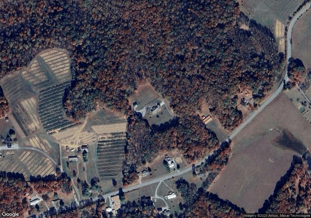
Map
Nearby Homes
- 0 Tennessee 399
- 40 Mccarver Loop
- 55 Rustling Pines Rd
- 95 Rustling Pines Rd
- 13 Bear Wallow Rd
- Lot 13 Bear Wallow Rd
- 0004 Fredonia Mountain Rd
- 10 Laurel Brook Rd
- 408 Sherman Rd
- 0 Fredonia Rd Unit 1240366
- 4 Tennessee 399
- 163 Thompson Rd
- Lot 6 Longview Ridge
- 6003 Tennessee 8
- 200 Coyote Trail
- Lot 61 River Ridge Dr
- 0 Woods Rd Unit RTC3042786
- 0 Woods Rd Unit 1523709
- 13 N Greenfields Way
- 481 Hitchcock Rd
- 153 H and S Rd
- 11943 State Route 8
- 11943 State Route 8
- 66 H and S Rd
- 8241 State Route 399
- 8241 Tennessee 399
- 8159 Tennessee 399
- 8159 State Route 399
- 0 Sr 399 Unit 1328010
- 0 Sr 399 Unit 208268
- 0 Sr 399 Unit RTC2525908
- 0 Sr 399 Unit RTC2525669
- 0 Sr 399 Unit 1347549
- 0 Sr 399 Unit 20217164
- 7882 Tennessee 399
- 0 32 Tennessee 399
- 00 Tennessee 399
- 0 2 Tennessee 399
- 8272 State Route 399
- 8202 Tennessee 399