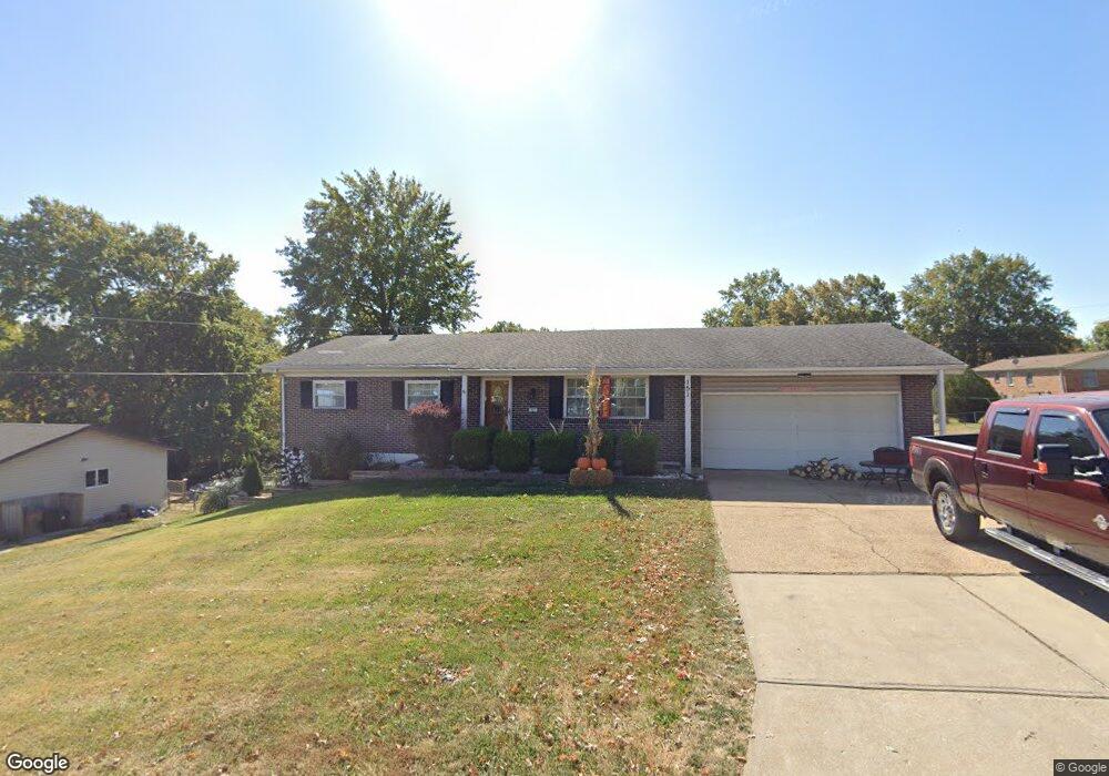
151 Mareda Ln Arnold, MO 63010
Estimated Value: $177,976 - $276,000
Studio
1
Bath
1,176
Sq Ft
$200/Sq Ft
Est. Value
About This Home
This home is located at 151 Mareda Ln, Arnold, MO 63010 and is currently estimated at $235,494, approximately $200 per square foot. 151 Mareda Ln is a home with nearby schools including Richard Simpson Elementary School, Seckman Middle School, and Seckman Senior High School.
Ownership History
Date
Name
Owned For
Owner Type
Purchase Details
Closed on
Feb 12, 2019
Sold by
Attwood Karen and Attwood Robert T
Bought by
151 Mareda Lane Llc
Current Estimated Value
Purchase Details
Closed on
Dec 7, 2018
Sold by
Attwood Karen and Attwood Robert T
Bought by
151 Mereda Lane Llc
Home Financials for this Owner
Home Financials are based on the most recent Mortgage that was taken out on this home.
Original Mortgage
$86,250
Interest Rate
4.8%
Mortgage Type
Commercial
Purchase Details
Closed on
Oct 3, 2014
Sold by
Williams Helen J
Bought by
Williams Helen J and Attwood Karen
Purchase Details
Closed on
May 6, 2009
Sold by
Williams Wilburt E and Williams Helen J
Bought by
Williams Wilburt E and Williams Helen J
Create a Home Valuation Report for This Property
The Home Valuation Report is an in-depth analysis detailing your home's value as well as a comparison with similar homes in the area
Home Values in the Area
Average Home Value in this Area
Purchase History
| Date | Buyer | Sale Price | Title Company |
|---|---|---|---|
| 151 Mareda Lane Llc | -- | Investors Title Co | |
| 151 Mereda Lane Llc | -- | Investors Title Co | |
| Williams Helen J | -- | None Available | |
| Williams Wilburt E | -- | None Available |
Source: Public Records
Mortgage History
| Date | Status | Borrower | Loan Amount |
|---|---|---|---|
| Previous Owner | 151 Mereda Lane Llc | $86,250 |
Source: Public Records
Tax History
| Year | Tax Paid | Tax Assessment Tax Assessment Total Assessment is a certain percentage of the fair market value that is determined by local assessors to be the total taxable value of land and additions on the property. | Land | Improvement |
|---|---|---|---|---|
| 2025 | $1,370 | $20,700 | $2,900 | $17,800 |
| 2024 | $1,370 | $19,200 | $2,900 | $16,300 |
| 2023 | $1,370 | $19,200 | $2,900 | $16,300 |
| 2022 | $1,325 | $18,700 | $2,900 | $15,800 |
| 2021 | $1,326 | $18,700 | $2,900 | $15,800 |
| 2020 | $1,257 | $16,800 | $2,500 | $14,300 |
| 2019 | $1,261 | $16,800 | $2,500 | $14,300 |
| 2018 | $1,252 | $16,800 | $2,500 | $14,300 |
| 2017 | $1,212 | $16,800 | $2,500 | $14,300 |
| 2016 | $1,024 | $15,300 | $2,500 | $12,800 |
Source: Public Records
Map
Nearby Homes
- 80 Rex Aire Ct
- 2451 Elm Dr
- 3001 Northern Lights Dr
- 3869 Crystal Wood Dr
- 2149 Windemere Dr
- 3820 N Barrington Ct
- 2112 Santiago Dr
- 3261 5 Oaks Dr
- 3220 Quervo Ln
- 3224 Quervo Ln
- 3232 Quervo Ln
- 3233 Quervo Ln
- 1715 Woodwind Dr
- 3 Aspen II at Bella Terra
- 2721 Cindy Dr
- 3 Aspen at Bella Terra
- 3 Sterling at Bella Terra
- 4518 Bella Terra Dr
- 3 Ashford at Bella Terra
- 2 Royal II at Bella Terra
Your Personal Tour Guide
Ask me questions while you tour the home.