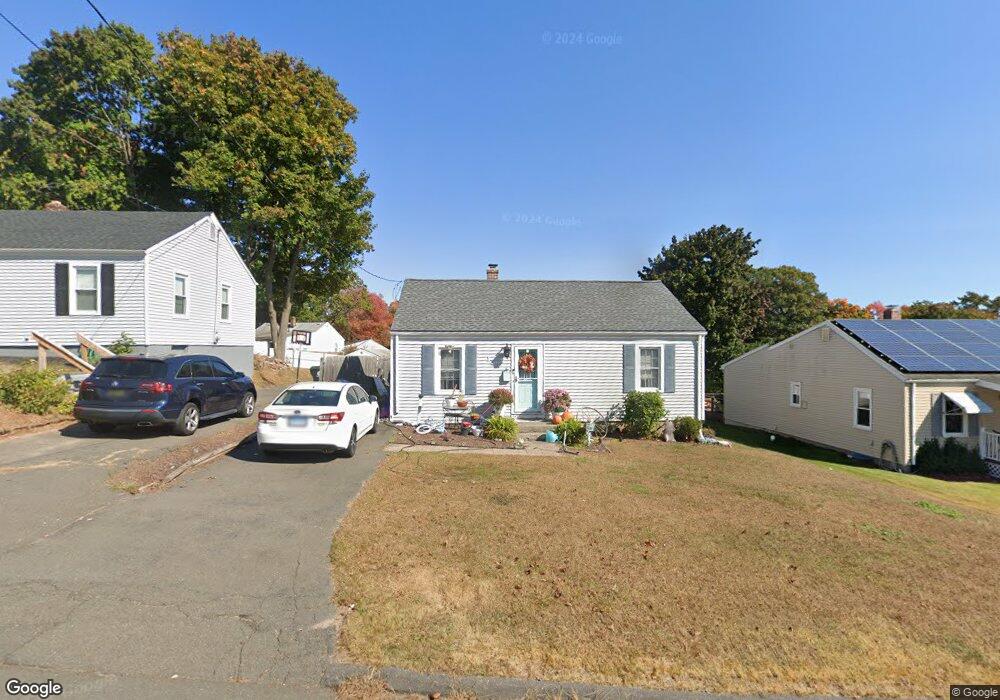
151 Morningside Dr W Bristol, CT 06010
Forestville NeighborhoodEstimated Value: $258,000 - $285,000
3
Beds
1
Bath
912
Sq Ft
$305/Sq Ft
Est. Value
About This Home
This home is located at 151 Morningside Dr W, Bristol, CT 06010 and is currently estimated at $277,780, approximately $304 per square foot. 151 Morningside Dr W is a home located in Hartford County with nearby schools including Northeast Middle School, Bristol Eastern High School, and St Matthew School.
Ownership History
Date
Name
Owned For
Owner Type
Purchase Details
Closed on
Feb 29, 2008
Sold by
Grey Jonathan M and Gefroh Miranda E
Bought by
Castler Christine E
Current Estimated Value
Home Financials for this Owner
Home Financials are based on the most recent Mortgage that was taken out on this home.
Original Mortgage
$158,746
Interest Rate
5.8%
Purchase Details
Closed on
Apr 14, 2004
Sold by
Balboni Richard A
Bought by
Grey Jonathan M and Gefroh Miranda E
Home Financials for this Owner
Home Financials are based on the most recent Mortgage that was taken out on this home.
Original Mortgage
$128,900
Interest Rate
5.58%
Purchase Details
Closed on
Mar 1, 2002
Sold by
Hale Harold E and Hale Irene P
Bought by
Balboni Richard A
Create a Home Valuation Report for This Property
The Home Valuation Report is an in-depth analysis detailing your home's value as well as a comparison with similar homes in the area
Home Values in the Area
Average Home Value in this Area
Purchase History
| Date | Buyer | Sale Price | Title Company |
|---|---|---|---|
| Castler Christine E | $160,000 | -- | |
| Grey Jonathan M | $130,000 | -- | |
| Balboni Richard A | $115,000 | -- |
Source: Public Records
Mortgage History
| Date | Status | Borrower | Loan Amount |
|---|---|---|---|
| Open | Balboni Richard A | $156,424 | |
| Closed | Balboni Richard A | $158,746 | |
| Previous Owner | Balboni Richard A | $128,900 |
Source: Public Records
Tax History Compared to Growth
Tax History
| Year | Tax Paid | Tax Assessment Tax Assessment Total Assessment is a certain percentage of the fair market value that is determined by local assessors to be the total taxable value of land and additions on the property. | Land | Improvement |
|---|---|---|---|---|
| 2025 | $4,290 | $127,120 | $42,350 | $84,770 |
| 2024 | $4,049 | $127,120 | $42,350 | $84,770 |
| 2023 | $3,858 | $127,120 | $42,350 | $84,770 |
| 2022 | $3,694 | $96,320 | $34,440 | $61,880 |
| 2021 | $3,694 | $96,320 | $34,440 | $61,880 |
| 2020 | $3,694 | $96,320 | $34,440 | $61,880 |
| 2019 | $3,665 | $96,320 | $34,440 | $61,880 |
| 2018 | $3,552 | $96,320 | $34,440 | $61,880 |
| 2017 | $3,183 | $88,340 | $29,890 | $58,450 |
| 2016 | $3,183 | $88,340 | $29,890 | $58,450 |
| 2015 | $3,057 | $88,340 | $29,890 | $58,450 |
| 2014 | $3,057 | $88,340 | $29,890 | $58,450 |
Source: Public Records
Map
Nearby Homes
- 12 Currey Ct
- 302 Brook St
- 42 Sandy Dr
- 44 Cabot St
- 56 Collier Ave
- 43 Hiltbrand Rd Unit 2-11
- 73 Grove Ave
- 90 Boardman St Unit A2
- 245 Mark St
- 52 Barbara Rd
- 27 Adeline Ave
- 44 Arlene Dr
- 81 Vincent Rd
- 34 Gayle Dr
- 46 Pleasant Ave
- 269 W Washington St
- 41 E New St
- 35 Buckley Ave
- 16 Mechanic St
- 334 W Washington St
- 155 Morningside Dr W
- 145 Morningside Dr W
- 161 Morningside Dr W
- 141 Morningside Dr W
- 144 Morningside Dr W
- 150 Morningside Dr W
- 167 Morningside Dr W
- 154 Morningside Dr W
- 140 Morningside Dr W
- 171 Morningside Dr W
- 134 Morningside Dr W
- 4 Predem Rd
- 232 Morningside Dr E
- 228 Morningside Dr E
- 12 Predem Rd
- 128 Morningside Dr W
- 4 Short St
- 220 Morningside Dr E
- 124 Morningside Dr W
- 19 Predem Rd