151 Mount Sopris Ct Livermore, CO 80536
Estimated Value: $432,828 - $533,000
3
Beds
2
Baths
1,600
Sq Ft
$309/Sq Ft
Est. Value
About This Home
This home is located at 151 Mount Sopris Ct, Livermore, CO 80536 and is currently estimated at $494,957, approximately $309 per square foot. 151 Mount Sopris Ct is a home located in Larimer County with nearby schools including Red Feather Lakes Elementary School, Cache La Poudre Middle School, and Poudre High School.
Ownership History
Date
Name
Owned For
Owner Type
Purchase Details
Closed on
Dec 28, 2018
Sold by
Breite Max J and Breite Lavonne F
Bought by
James And Lavonne Breite Trust
Current Estimated Value
Purchase Details
Closed on
Sep 8, 2000
Sold by
Follick David W J Ruth
Bought by
Breite Max J and Breite Lavonne F
Home Financials for this Owner
Home Financials are based on the most recent Mortgage that was taken out on this home.
Original Mortgage
$119,900
Outstanding Balance
$43,854
Interest Rate
8.15%
Estimated Equity
$451,103
Purchase Details
Closed on
Sep 1, 1984
Bought by
Follick David W and Follick Ruth J
Create a Home Valuation Report for This Property
The Home Valuation Report is an in-depth analysis detailing your home's value as well as a comparison with similar homes in the area
Home Values in the Area
Average Home Value in this Area
Purchase History
| Date | Buyer | Sale Price | Title Company |
|---|---|---|---|
| James And Lavonne Breite Trust | -- | None Available | |
| Breite Max J | $169,900 | North American Title Co | |
| Follick David W | $110,000 | -- |
Source: Public Records
Mortgage History
| Date | Status | Borrower | Loan Amount |
|---|---|---|---|
| Open | Breite Max J | $119,900 |
Source: Public Records
Tax History Compared to Growth
Tax History
| Year | Tax Paid | Tax Assessment Tax Assessment Total Assessment is a certain percentage of the fair market value that is determined by local assessors to be the total taxable value of land and additions on the property. | Land | Improvement |
|---|---|---|---|---|
| 2025 | $2,807 | $32,214 | $8,643 | $23,571 |
| 2024 | $2,674 | $32,214 | $8,643 | $23,571 |
| 2022 | $2,149 | $22,185 | $3,267 | $18,918 |
| 2021 | $2,173 | $22,823 | $3,361 | $19,462 |
| 2020 | $1,785 | $18,590 | $2,717 | $15,873 |
| 2019 | $1,793 | $18,590 | $2,717 | $15,873 |
| 2018 | $1,452 | $16,200 | $2,268 | $13,932 |
| 2017 | $1,446 | $16,200 | $2,268 | $13,932 |
| 2016 | $1,428 | $15,920 | $1,910 | $14,010 |
| 2015 | $1,418 | $15,920 | $1,910 | $14,010 |
| 2014 | $1,164 | $12,990 | $3,420 | $9,570 |
Source: Public Records
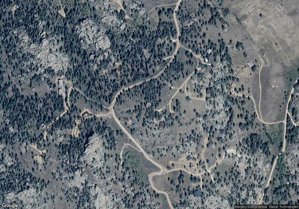
Map
Nearby Homes
- 775 Haystack Dr
- 131 Mount Apiatan Ct
- 78 Mount Champion Dr
- 366 N Rim Rd
- 98 Deadhorse Mountain Ct
- 102 Mount Princeton Ct
- 241 Deadhorse Mountain Ct
- 1084 Iron Mountain Dr
- 166 Red Cloud Peak Ct
- 636 Cucharas Mountain Dr
- 3309 Green Mountain Dr
- 0 Shoshana Ranch Rd
- 81 Humboldt Dr
- 180 Deep Cut Rd
- 64 Mount Massive Dr
- 4092 Green Mountain Dr
- 0 Mountain Pony Rd
- 556 Bald Mountain Dr
- 331 Laplata Dr
- 569 Gordon Ct
- 199 Mount Sopris Ct
- 274 Iron Mountain Dr
- 319 Iron Mountain Dr
- 107 Mount Sopris Ct
- 299 Iron Mountain Dr
- 148 Mount Sopris Ct
- 85 Mount Guero Ct
- 680 Haystack Dr
- 351 Iron Mountain Dr
- 0 Iron Mountain Dr
- 748 Haystack Dr
- 127 Iron Mountain Dr
- 66 Mount Sopris Ct
- 159 Mount Peale Ct
- 99 Straw Ct
- 99 Straw Ct
- 99 Straw Ct
- 0 Mount Sopris Ct
- 140 Mount Peale Ct
- 731 Haystack Dr