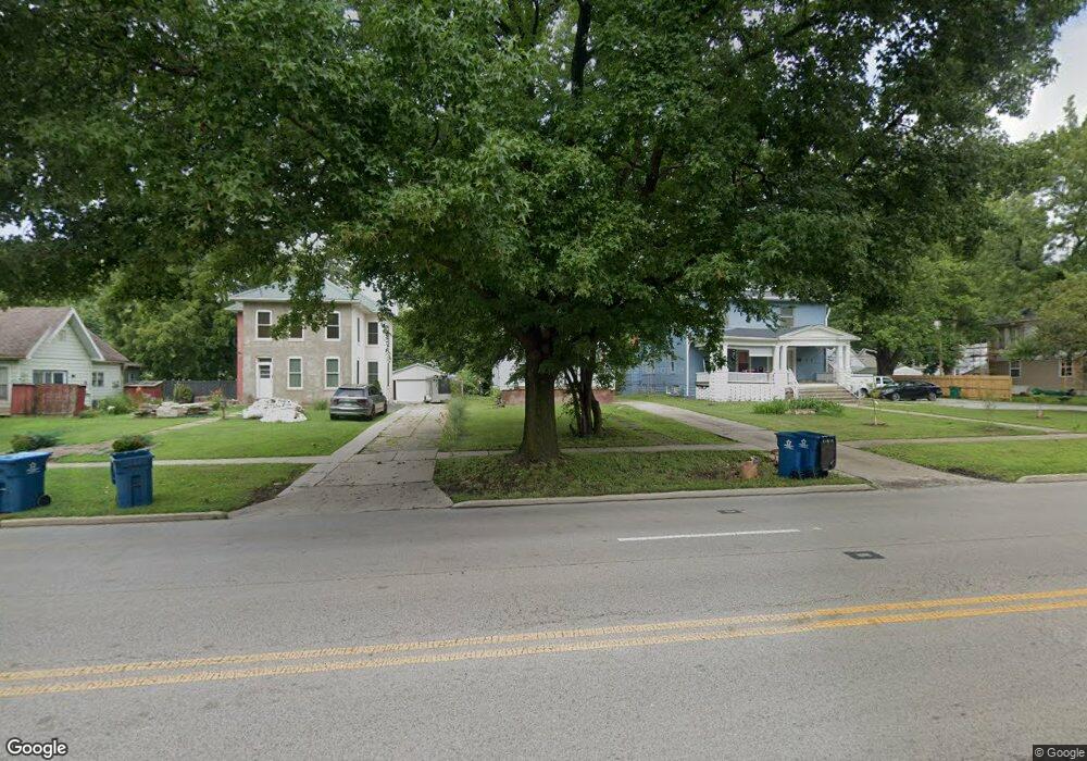
151 N Macarthur Blvd Springfield, IL 62702
Historic West Side NeighborhoodEstimated Value: $103,672 - $113,000
Studio
--
Bath
--
Sq Ft
6,011
Sq Ft Lot
About This Home
This home is located at 151 N Macarthur Blvd, Springfield, IL 62702 and is currently estimated at $106,168. 151 N Macarthur Blvd is a home located in Sangamon County with nearby schools including Dubois Elementary School, U.S. Grant Middle School, and Springfield High School.
Ownership History
Date
Name
Owned For
Owner Type
Purchase Details
Closed on
Dec 20, 2019
Sold by
Trust No 14 & 280 & 355 & 038
Bought by
Simmons Drake L
Current Estimated Value
Purchase Details
Closed on
Jul 17, 2019
Sold by
County Of Sangamon
Bought by
Trust No 14 & 280 & 355 & 038
Purchase Details
Closed on
Oct 30, 2014
Purchase Details
Closed on
Jul 25, 2014
Purchase Details
Closed on
Nov 6, 2013
Purchase Details
Closed on
Aug 5, 1999
Purchase Details
Closed on
Nov 19, 1998
Purchase Details
Closed on
Feb 16, 1996
Create a Home Valuation Report for This Property
The Home Valuation Report is an in-depth analysis detailing your home's value as well as a comparison with similar homes in the area
Home Values in the Area
Average Home Value in this Area
Purchase History
| Date | Buyer | Sale Price | Title Company |
|---|---|---|---|
| Simmons Drake L | -- | Schrimpf Stephen P | |
| Trust No 14 & 280 & 355 & 038 | -- | Schrimpf Stephen P | |
| -- | $7,000 | -- | |
| -- | -- | -- | |
| -- | -- | -- | |
| -- | $71,000 | -- | |
| -- | -- | -- | |
| -- | $69,900 | -- |
Source: Public Records
Tax History
| Year | Tax Paid | Tax Assessment Tax Assessment Total Assessment is a certain percentage of the fair market value that is determined by local assessors to be the total taxable value of land and additions on the property. | Land | Improvement |
|---|---|---|---|---|
| 2024 | $2,323 | $27,652 | $4,167 | $23,485 |
| 2023 | $2,233 | $25,257 | $3,806 | $21,451 |
| 2022 | $2,147 | $23,958 | $3,610 | $20,348 |
| 2021 | $1,478 | $16,417 | $3,476 | $12,941 |
| 2020 | $910 | $10,331 | $3,481 | $6,850 |
| 2019 | $799 | $10,295 | $3,469 | $6,826 |
| 2018 | $799 | $9,451 | $3,452 | $5,999 |
| 2017 | $1,406 | $16,773 | $3,407 | $13,366 |
| 2016 | $1,378 | $16,528 | $3,357 | $13,171 |
| 2015 | $2,544 | $30,431 | $3,317 | $27,114 |
| 2014 | $2,008 | $30,235 | $3,296 | $26,939 |
| 2013 | $1,964 | $30,235 | $3,296 | $26,939 |
Source: Public Records
Map
Nearby Homes
- 112 N Macarthur Blvd
- 236 N English Ave
- 221 N State St
- 215 S Macarthur Blvd
- 235 N Illinois St
- 700 W Jefferson St
- 318 S State St
- 342 S Douglas Ave
- 121 N Parker Ave
- 259 N Columbia Ave
- 545 S Lincoln Ave
- 615 S English Ave
- 423 S Adelia St
- 611 S Illinois St
- 709 S Douglas Ave
- 631 W Edwards St
- 342 W Reynolds St
- 1316 W Lawrence Ave
- 917 N Osburn Ave
- 926 N Patton Ave
- 147 N Macarthur Blvd
- 155 N Macarthur Blvd Unit 2
- 137 N Macarthur Blvd
- 163 N Macarthur Blvd
- 148 N English Ave
- 208 N English Ave
- 135 N Macarthur Blvd
- 212 N English Ave
- 200 N English Ave
- 136 N English Ave
- 200 N Macarthur Blvd
- 167 N Macarthur Blvd
- 133 N Macarthur Blvd
- 214 N English Ave
- 202 N Macarthur Blvd
- 204 N Macarthur Blvd
- 216 N English Ave
- 142 N Macarthur Blvd
- 131 N Macarthur Blvd
- 134 N English Ave
Your Personal Tour Guide
Ask me questions while you tour the home.