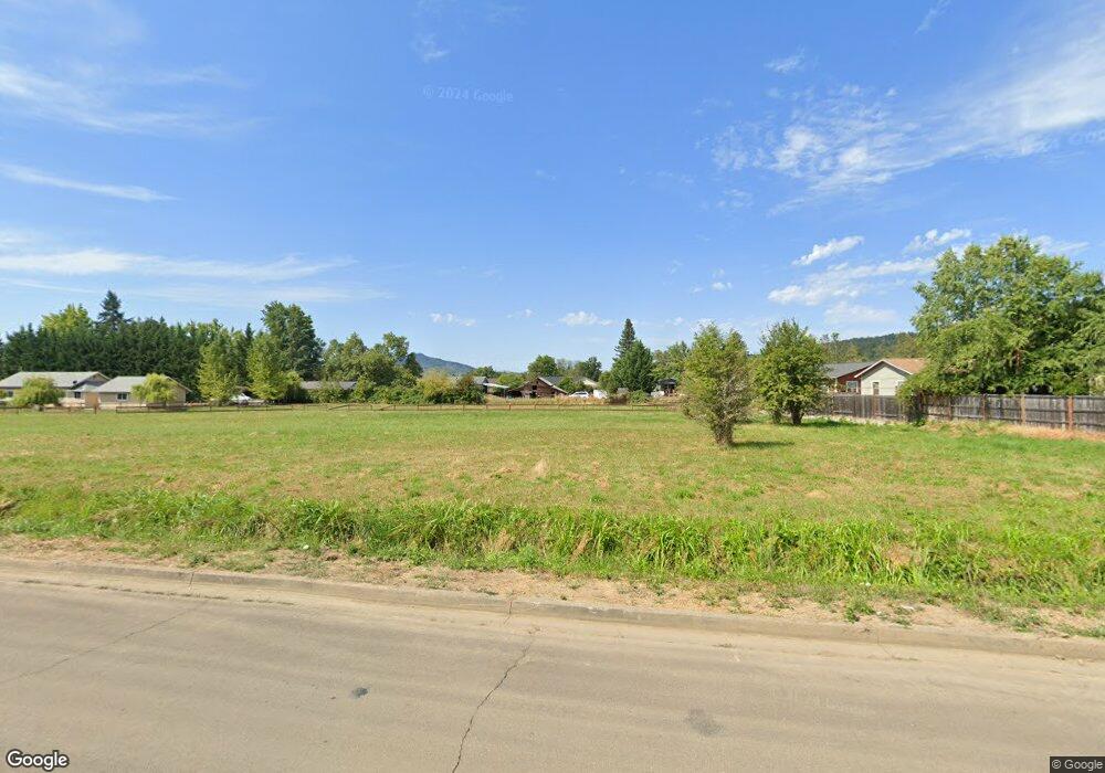
151 NE Pear Ln Sutherlin, OR 97479
Estimated Value: $140,000 - $232,802
--
Bed
--
Bath
--
Sq Ft
1.7
Acres
About This Home
This home is located at 151 NE Pear Ln, Sutherlin, OR 97479 and is currently estimated at $199,601. 151 NE Pear Ln is a home located in Douglas County with nearby schools including East Sutherlin Primary School, West Sutherlin Intermediate School, and Sutherlin Middle School.
Ownership History
Date
Name
Owned For
Owner Type
Purchase Details
Closed on
Feb 6, 2007
Sold by
Avery Gordon L and Avery Gordon
Bought by
Umpqua Community Development Corp
Current Estimated Value
Home Financials for this Owner
Home Financials are based on the most recent Mortgage that was taken out on this home.
Original Mortgage
$245,000
Outstanding Balance
$146,826
Interest Rate
6.17%
Mortgage Type
Unknown
Estimated Equity
$52,775
Create a Home Valuation Report for This Property
The Home Valuation Report is an in-depth analysis detailing your home's value as well as a comparison with similar homes in the area
Home Values in the Area
Average Home Value in this Area
Purchase History
| Date | Buyer | Sale Price | Title Company |
|---|---|---|---|
| Umpqua Community Development Corp | $240,000 | Ticor Title |
Source: Public Records
Mortgage History
| Date | Status | Borrower | Loan Amount |
|---|---|---|---|
| Open | Umpqua Community Development Corp | $245,000 |
Source: Public Records
Tax History Compared to Growth
Tax History
| Year | Tax Paid | Tax Assessment Tax Assessment Total Assessment is a certain percentage of the fair market value that is determined by local assessors to be the total taxable value of land and additions on the property. | Land | Improvement |
|---|---|---|---|---|
| 2024 | $1,413 | $113,348 | $113,348 | -- |
| 2023 | $1,114 | $89,250 | $89,250 | $0 |
| 2022 | $1,114 | $89,250 | $0 | $0 |
| 2021 | $1,114 | $89,250 | $0 | $0 |
| 2020 | $1,108 | $89,250 | $0 | $0 |
| 2019 | $1,108 | $89,250 | $0 | $0 |
| 2018 | $887 | $71,400 | $0 | $0 |
| 2017 | $934 | $71,400 | $0 | $0 |
| 2016 | $934 | $71,400 | $0 | $0 |
| 2015 | $1,171 | $89,250 | $0 | $0 |
| 2014 | $1,171 | $89,250 | $0 | $0 |
| 2013 | -- | $113,809 | $0 | $0 |
Source: Public Records
Map
Nearby Homes
- 1234 E Fourth Ave
- 1200 E Central Ave Unit 128
- 1200 E Central Ave Unit 139
- 1200 E Central Ave Unit 80
- 1200 E Central Ave Unit 55
- 1200 E Central Ave Unit 101
- 1200 E Central Ave Unit 68A
- 1200 E Central Ave Unit 62
- 119 Terrace Ln
- 337 S Grove Ln
- 1000 E Central Ave Unit 2
- 1000 E Central Ave Unit 21
- 689 Sherwood Dr
- 642 Terrace Ln
- 1545 E Fourth Ave
- 776 E Fourth Ave
- 1340 Southside Rd
- 895 Valley Vista St
- 1762 E Fourth Ave
- 660 Jade St
- 151 NE Pear Ln
- 1222 Blossom Ct
- 1228 Blossom Ct
- 1240 Blossom Ct
- 1240 Blossom Ct Unit 1
- 1239 E Central Ave
- 1231 E Central Ave
- 1212 Blossom Ct
- 1276 Blossom Ct
- 0 E Central Ave
- 1225 Blossom Ct
- 1208 Blossom Ct
- 178 Emerald St
- 1221 Blossom Ct
- 180 Emerald St
- 1205 Blossom Ct
- 1249 Blossom Ct
- 156 Emerald St
- 192 Emerald St
- 1347 E Central Ave