151 Roberts Rd Rollinsford, NH 03869
Estimated Value: $706,000 - $984,000
4
Beds
3
Baths
4,214
Sq Ft
$201/Sq Ft
Est. Value
About This Home
This home is located at 151 Roberts Rd, Rollinsford, NH 03869 and is currently estimated at $845,285, approximately $200 per square foot. 151 Roberts Rd is a home located in Strafford County with nearby schools including Rollinsford Grade School, Berwick Academy, and St Mary Academy.
Ownership History
Date
Name
Owned For
Owner Type
Purchase Details
Closed on
Jun 29, 2017
Sold by
George Charles E
Bought by
Charles Charles E and Charles S R
Current Estimated Value
Purchase Details
Closed on
Jul 16, 2012
Sold by
George Sybil
Bought by
George Sybil and George Charles
Home Financials for this Owner
Home Financials are based on the most recent Mortgage that was taken out on this home.
Original Mortgage
$185,200
Interest Rate
3.76%
Mortgage Type
Purchase Money Mortgage
Create a Home Valuation Report for This Property
The Home Valuation Report is an in-depth analysis detailing your home's value as well as a comparison with similar homes in the area
Home Values in the Area
Average Home Value in this Area
Purchase History
| Date | Buyer | Sale Price | Title Company |
|---|---|---|---|
| Charles Charles E | -- | -- | |
| George Sybil | -- | -- |
Source: Public Records
Mortgage History
| Date | Status | Borrower | Loan Amount |
|---|---|---|---|
| Previous Owner | George Sybil | $185,200 |
Source: Public Records
Tax History Compared to Growth
Tax History
| Year | Tax Paid | Tax Assessment Tax Assessment Total Assessment is a certain percentage of the fair market value that is determined by local assessors to be the total taxable value of land and additions on the property. | Land | Improvement |
|---|---|---|---|---|
| 2024 | $11,858 | $722,588 | $250,088 | $472,500 |
| 2023 | $11,117 | $722,821 | $250,321 | $472,500 |
| 2022 | $10,363 | $696,921 | $250,321 | $446,600 |
| 2021 | $10,573 | $433,676 | $129,876 | $303,800 |
| 2020 | $10,723 | $434,479 | $130,679 | $303,800 |
| 2019 | $9,824 | $434,479 | $130,679 | $303,800 |
| 2018 | $10,488 | $434,479 | $130,679 | $303,800 |
| 2016 | $10,682 | $381,767 | $109,367 | $272,400 |
| 2015 | $10,472 | $381,767 | $109,367 | $272,400 |
| 2014 | $10,123 | $381,999 | $109,599 | $272,400 |
| 2013 | $10,273 | $382,179 | $136,700 | $245,479 |
Source: Public Records
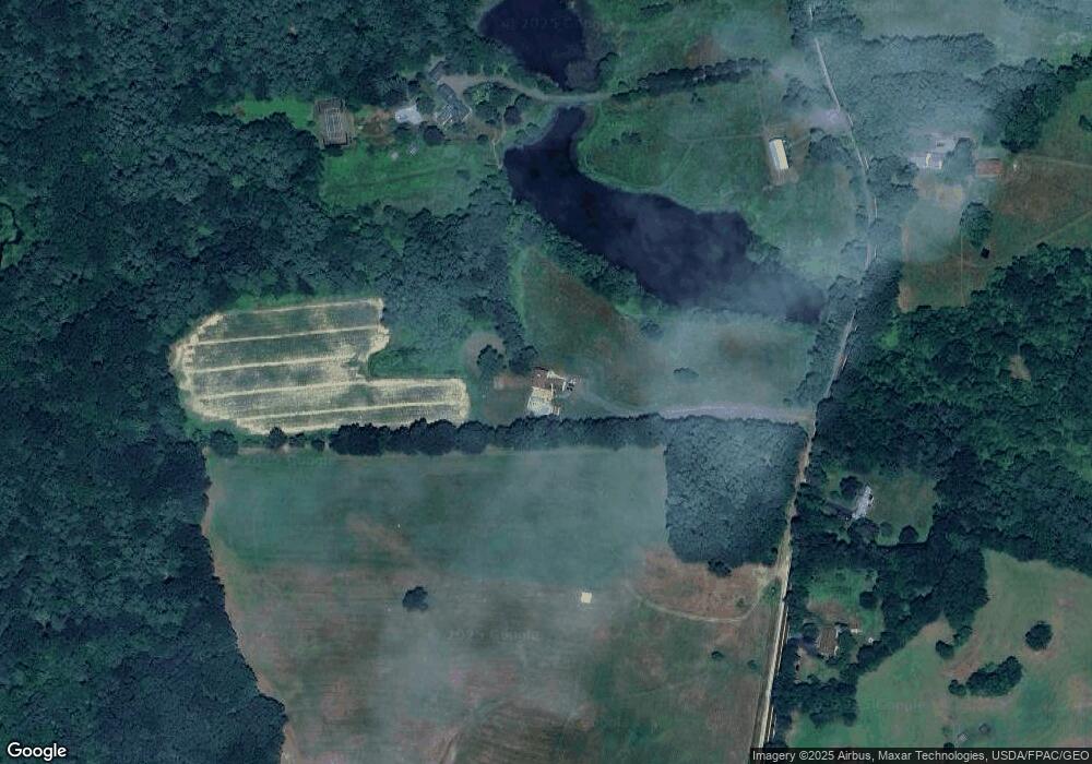
Map
Nearby Homes
- 442 Prospect St
- 72 Moses Carr Rd
- 26 Stevens Ct
- 11 Country Club Estates Dr Unit 11
- Lot 6 Emerson Ridge Unit 6
- 72 Vine St
- Lot 8 Emerson Ridge Unit 8
- 37 Nealley St
- 24 Spillanes Hill
- 24 Atlantic Ave
- 27 Atlantic Ave
- 34 Floral Ave Unit 5
- 4 Winterberry Dr
- 36 Oak St
- 289 Main St
- 10 Portland St
- 96 Broadway Unit 98
- 23 Townsend Dr
- 400 Gulf Rd
- 815 Central Ave
- 417 Second St Unit 1
- . Beatte Rd
- 00 Pinecrest Ln
- 417 Second St Unit 2
- Lot 5 Scarlett Ln Unit 19-5
- 121 Roberts Rd
- 154 Roberts Rd
- 102 Roberts Rd
- 168 Roberts Rd
- 130 Roberts Rd
- 101 Roberts Rd
- 184 Roberts Rd
- 416-3 Second
- 59-61 South
- 412-3 Second Unit 3
- 413-2 Second St
- 412 - 414 Third
- 323 Green Street Sunningdale Unit 4
- 417-3 Second St Unit 3
- 416-1 Second St Unit 1