Estimated Value: $771,000 - $828,485
5
Beds
4
Baths
4,258
Sq Ft
$187/Sq Ft
Est. Value
About This Home
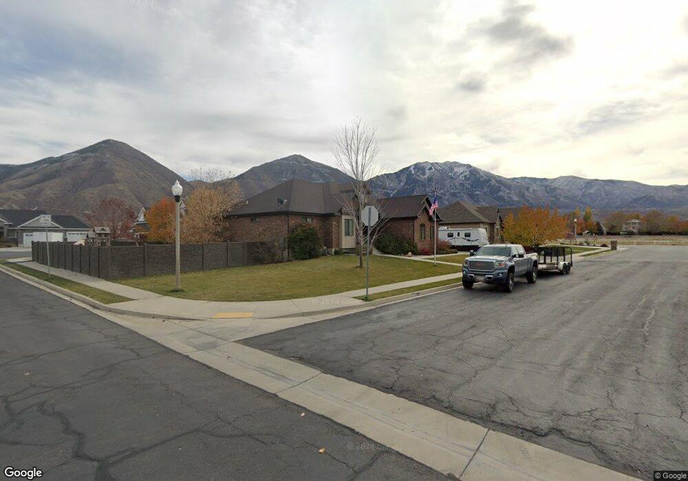
This home is located at 151 S 650 E, Salem, UT 84653 and is currently estimated at $795,371, approximately $186 per square foot. 151 S 650 E is a home located in Utah County with nearby schools including Salem Elementary, Valley View Middle School, and Salem Junior High School.
Ownership History
Date
Name
Owned For
Owner Type
Purchase Details
Closed on
Aug 7, 2015
Sold by
Hales Bradford D and Hales Shannon
Bought by
Cassingham Colter Robert and Cassingham Kaleigh
Current Estimated Value
Home Financials for this Owner
Home Financials are based on the most recent Mortgage that was taken out on this home.
Original Mortgage
$413,000
Outstanding Balance
$324,269
Interest Rate
3.98%
Mortgage Type
VA
Estimated Equity
$471,102
Create a Home Valuation Report for This Property
The Home Valuation Report is an in-depth analysis detailing your home's value as well as a comparison with similar homes in the area
Home Values in the Area
Average Home Value in this Area
Purchase History
| Date | Buyer | Sale Price | Title Company |
|---|---|---|---|
| Cassingham Colter Robert | -- | Key Land Title |
Source: Public Records
Mortgage History
| Date | Status | Borrower | Loan Amount |
|---|---|---|---|
| Open | Cassingham Colter Robert | $413,000 |
Source: Public Records
Tax History
| Year | Tax Paid | Tax Assessment Tax Assessment Total Assessment is a certain percentage of the fair market value that is determined by local assessors to be the total taxable value of land and additions on the property. | Land | Improvement |
|---|---|---|---|---|
| 2025 | $3,800 | $443,520 | -- | -- |
| 2024 | $3,782 | $385,440 | $0 | $0 |
| 2023 | $4,019 | $384,230 | $0 | $0 |
| 2022 | $1,464 | $401,995 | $0 | $0 |
| 2021 | $357 | $508,500 | $141,000 | $367,500 |
| 2020 | $245 | $482,900 | $122,600 | $360,300 |
| 2019 | $2,902 | $462,800 | $118,700 | $344,100 |
| 2018 | $126 | $445,300 | $106,800 | $338,500 |
| 2017 | $91 | $227,205 | $0 | $0 |
| 2016 | -- | $221,925 | $0 | $0 |
| 2015 | $2,438 | $192,445 | $0 | $0 |
| 2014 | $2,297 | $181,555 | $0 | $0 |
Source: Public Records
Map
Nearby Homes
- 6 Shady Ln
- 88 S 850 E
- 84 N 500 E
- 643-1209 N 1850 E
- 1001 E 250 S
- 1003 E 310 S Unit 11
- 1018 E 250 S
- 1033 E 250 S
- 1034 E 250 S
- 1026 E 310 S
- 1036 E 310 S
- 2165 E 270 N Unit MSF47
- 2153 E 270 N Unit MSF48
- 2152 E 270 N Unit MSF50
- 2174 E 270 N Unit MSF51
- 2148 E 270 N Unit MSF49
- 205 E Center St
- 659-1205 N 1850 E
- 655-1206 N 1850 E
- 315 N 500 E
Your Personal Tour Guide
Ask me questions while you tour the home.