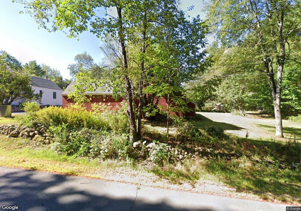
151 Stoneham Rd Sanbornville, NH 03872
Estimated Value: $485,846 - $590,000
3
Beds
3
Baths
1,948
Sq Ft
$274/Sq Ft
Est. Value
About This Home
This home is located at 151 Stoneham Rd, Sanbornville, NH 03872 and is currently estimated at $533,962, approximately $274 per square foot. 151 Stoneham Rd is a home located in Carroll County with nearby schools including Paul Elementary School.
Ownership History
Date
Name
Owned For
Owner Type
Purchase Details
Closed on
Jul 11, 2016
Sold by
Despins Richard P and Despins Robin L
Bought by
F Robin
Current Estimated Value
Purchase Details
Closed on
Jun 27, 2016
Sold by
Despins Richad P and Despins Robin L
Bought by
Despins Robin and Despins Richard
Purchase Details
Closed on
Oct 1, 2004
Sold by
Jonas Stephen A
Bought by
Despins Richard P and Despins Robin L
Home Financials for this Owner
Home Financials are based on the most recent Mortgage that was taken out on this home.
Original Mortgage
$285,000
Interest Rate
5.81%
Mortgage Type
Purchase Money Mortgage
Create a Home Valuation Report for This Property
The Home Valuation Report is an in-depth analysis detailing your home's value as well as a comparison with similar homes in the area
Home Values in the Area
Average Home Value in this Area
Purchase History
| Date | Buyer | Sale Price | Title Company |
|---|---|---|---|
| F Robin | -- | -- | |
| Despins Robin | -- | -- | |
| Despins Richard P | $300,000 | -- |
Source: Public Records
Mortgage History
| Date | Status | Borrower | Loan Amount |
|---|---|---|---|
| Previous Owner | Despins Richard P | $45,000 | |
| Previous Owner | Despins Richard P | $285,000 |
Source: Public Records
Tax History Compared to Growth
Tax History
| Year | Tax Paid | Tax Assessment Tax Assessment Total Assessment is a certain percentage of the fair market value that is determined by local assessors to be the total taxable value of land and additions on the property. | Land | Improvement |
|---|---|---|---|---|
| 2024 | $3,762 | $500,300 | $101,300 | $399,000 |
| 2023 | $3,427 | $500,300 | $101,300 | $399,000 |
| 2022 | $3,332 | $272,000 | $46,500 | $225,500 |
| 2021 | $3,356 | $272,000 | $46,500 | $225,500 |
| 2020 | $3,385 | $273,400 | $46,500 | $226,900 |
| 2019 | $3,409 | $273,400 | $46,500 | $226,900 |
| 2018 | $3,078 | $273,400 | $46,500 | $226,900 |
| 2017 | $2,793 | $220,800 | $53,100 | $167,700 |
| 2016 | $2,846 | $219,900 | $53,100 | $166,800 |
| 2015 | $2,872 | $219,900 | $53,100 | $166,800 |
| 2014 | $2,802 | $219,900 | $53,100 | $166,800 |
| 2013 | $2,700 | $219,900 | $53,100 | $166,800 |
Source: Public Records
Map
Nearby Homes
- 22 Pike Brook Rd
- 7 Garney Rd
- 26 Hilltop Dr
- 1690 Province Lake Rd
- 106 Heron Cove Rd
- 78 Buck Rd
- 76 Curries Way
- 410 Wentworth Rd
- 69 Wilderness Loop
- 76 Camp Rd
- 204 Wansor Rd
- 91 David Dr
- 46 Cese Way
- 55 Cese Way
- 19 Cotton Mountain Rd
- 251 Wentworth Rd
- 78-5-15 Village Corner Rd
- TBD Village Corner Rd
- 84 School St
- 00 Diane Place Unit 5