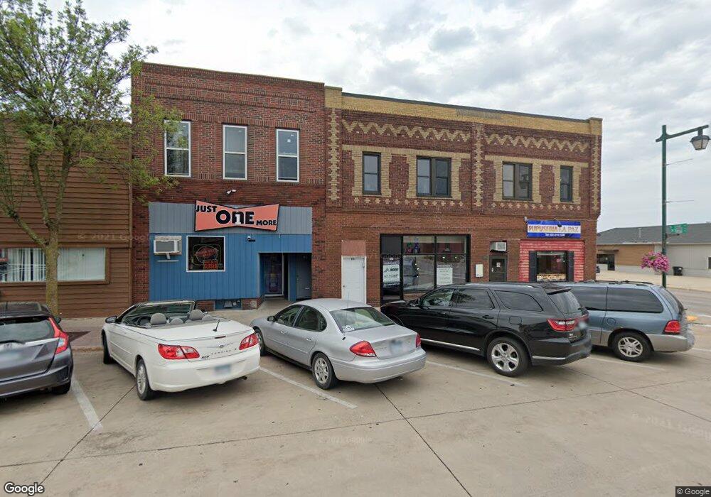
151 W Bridge St Owatonna, MN 55060
Estimated Value: $249,477
--
Bed
--
Bath
7,924
Sq Ft
$31/Sq Ft
Est. Value
About This Home
This home is located at 151 W Bridge St, Owatonna, MN 55060 and is currently estimated at $249,477, approximately $31 per square foot. 151 W Bridge St is a home located in Steele County with nearby schools including Wilson Elementary School, Owatonna Middle School, and Owatonna Senior High School.
Ownership History
Date
Name
Owned For
Owner Type
Purchase Details
Closed on
Jul 13, 2020
Sold by
Rl Holdings Llc
Bought by
Redline Development Group Llc
Current Estimated Value
Home Financials for this Owner
Home Financials are based on the most recent Mortgage that was taken out on this home.
Original Mortgage
$148,000
Outstanding Balance
$107,928
Interest Rate
3.2%
Mortgage Type
New Conventional
Estimated Equity
$141,549
Purchase Details
Closed on
Oct 31, 2019
Sold by
Stewart Mary Alice
Bought by
Rl Holdings Llc
Purchase Details
Closed on
Apr 18, 2017
Sold by
Stewart Trust
Bought by
Stewart Mary Alice
Purchase Details
Closed on
Jan 18, 2005
Sold by
Stewart Robert C and Stewart Mary Alice
Bought by
Robert Clarke Stewart Family Trust
Create a Home Valuation Report for This Property
The Home Valuation Report is an in-depth analysis detailing your home's value as well as a comparison with similar homes in the area
Home Values in the Area
Average Home Value in this Area
Purchase History
| Date | Buyer | Sale Price | Title Company |
|---|---|---|---|
| Redline Development Group Llc | $185,000 | North American Title | |
| Rl Holdings Llc | $400,000 | None Available | |
| Stewart Mary Alice | -- | -- | |
| Robert Clarke Stewart Family Trust | -- | None Available |
Source: Public Records
Mortgage History
| Date | Status | Borrower | Loan Amount |
|---|---|---|---|
| Open | Redline Development Group Llc | $148,000 |
Source: Public Records
Tax History Compared to Growth
Tax History
| Year | Tax Paid | Tax Assessment Tax Assessment Total Assessment is a certain percentage of the fair market value that is determined by local assessors to be the total taxable value of land and additions on the property. | Land | Improvement |
|---|---|---|---|---|
| 2025 | $10,680 | $372,300 | $46,200 | $326,100 |
| 2024 | $4,856 | $350,300 | $46,100 | $304,200 |
| 2023 | $4,776 | $123,300 | $46,100 | $77,200 |
| 2022 | $5,266 | $228,200 | $92,300 | $135,900 |
| 2021 | $5,382 | $110,152 | $44,492 | $65,660 |
| 2020 | $5,608 | $111,034 | $39,298 | $71,736 |
| 2019 | $4,264 | $127,792 | $40,474 | $87,318 |
| 2018 | $4,000 | $176,302 | $67,424 | $108,878 |
| 2017 | $4,654 | $165,522 | $41,846 | $123,676 |
| 2016 | $4,330 | $99,274 | $25,088 | $74,186 |
| 2015 | -- | $0 | $0 | $0 |
| 2014 | -- | $0 | $0 | $0 |
Source: Public Records
Map
Nearby Homes
- 153 W Bridge St
- 145 W Bridge St
- 143 W Bridge St
- 151 1/2 W Bridge St
- 209 W Bridge St
- 210 W Main St
- 202 W Bridge St
- 210 N Oak Ave
- 210 S Oak Ave
- 140 W Mill St
- 216 W Bridge St
- 214 S Oak Ave
- 119 W Bridge St
- 117 W Bridge St
- 119 W Broadway St Unit 119.5
- 220 S Oak Ave
- 146 W Broadway St
- 216 W Mill St
- 111 W Main St
- 112 N Oak Ave