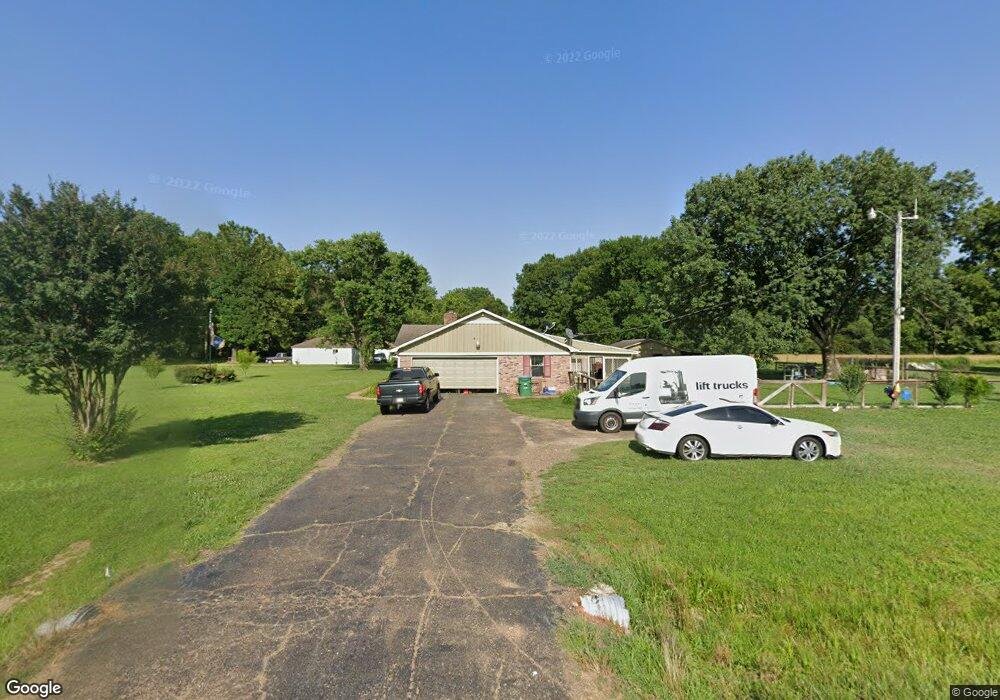
1510 Dean Rd Nesbit, MS 38651
Estimated Value: $316,000 - $370,000
4
Beds
2
Baths
1,910
Sq Ft
$176/Sq Ft
Est. Value
About This Home
This home is located at 1510 Dean Rd, Nesbit, MS 38651 and is currently estimated at $336,067, approximately $175 per square foot. 1510 Dean Rd is a home located in DeSoto County with nearby schools including Oak Grove Central Elementary School, Hernando Hills Elementary, and Hernando Elementary School.
Ownership History
Date
Name
Owned For
Owner Type
Purchase Details
Closed on
Jan 23, 2020
Sold by
Trustmark National Bank
Bought by
Jackson Ali Annette
Current Estimated Value
Purchase Details
Closed on
Mar 28, 2011
Sold by
Brooks Zella and Ledbury Bettie Fae
Bought by
Thacker Dorothy
Home Financials for this Owner
Home Financials are based on the most recent Mortgage that was taken out on this home.
Original Mortgage
$146,770
Interest Rate
4.95%
Mortgage Type
New Conventional
Purchase Details
Closed on
Nov 22, 2010
Sold by
Brooks Zella and Brooks Delbert G
Bought by
Brooks Zella and Ledbury Bettie Fae
Create a Home Valuation Report for This Property
The Home Valuation Report is an in-depth analysis detailing your home's value as well as a comparison with similar homes in the area
Home Values in the Area
Average Home Value in this Area
Purchase History
| Date | Buyer | Sale Price | Title Company |
|---|---|---|---|
| Jackson Ali Annette | -- | None Available | |
| Thacker Dorothy | -- | Realty Title | |
| Brooks Zella | -- | None Available |
Source: Public Records
Mortgage History
| Date | Status | Borrower | Loan Amount |
|---|---|---|---|
| Previous Owner | Thacker Dorothy | $146,770 |
Source: Public Records
Tax History
| Year | Tax Paid | Tax Assessment Tax Assessment Total Assessment is a certain percentage of the fair market value that is determined by local assessors to be the total taxable value of land and additions on the property. | Land | Improvement |
|---|---|---|---|---|
| 2025 | $1,078 | $16,503 | $2,500 | $14,003 |
| 2024 | $975 | $12,626 | $2,500 | $10,126 |
| 2023 | $975 | $12,626 | $0 | $0 |
| 2022 | $975 | $12,626 | $2,500 | $10,126 |
| 2021 | $975 | $12,626 | $2,500 | $10,126 |
| 2020 | $1,193 | $11,817 | $2,500 | $9,317 |
| 2019 | $1,193 | $11,817 | $2,500 | $9,317 |
| 2017 | $1,158 | $20,268 | $11,384 | $8,884 |
| 2016 | $1,158 | $11,384 | $2,500 | $8,884 |
| 2015 | $1,158 | $20,268 | $11,384 | $8,884 |
| 2014 | $391 | $11,384 | $0 | $0 |
| 2013 | $1,140 | $11,384 | $0 | $0 |
Source: Public Records
Map
Nearby Homes
- 1620 Gwynn Rd
- 1009 Collie Dr
- 956 Collie Dr
- 944 Collie Dr
- 932 Collie Dr
- 1547 Breckenridge Dr
- 896 Andys Way
- 1802 Millers Cove
- 1734 Winningham Dr
- 566 Benton Dr
- 630 Millers Way
- 0 Highway 51 Unit 2319030
- 0 Old Highway 51 N Unit 4141927
- 834 Rodeo Way
- 0 U S Highway 51
- 2330 Robbie Lee Rd
- 1209 Flint Lock Cove
- 0 Jackson Rd
- 193 Crockett Loop E
- 2288 Wanda Faye Dr
Your Personal Tour Guide
Ask me questions while you tour the home.