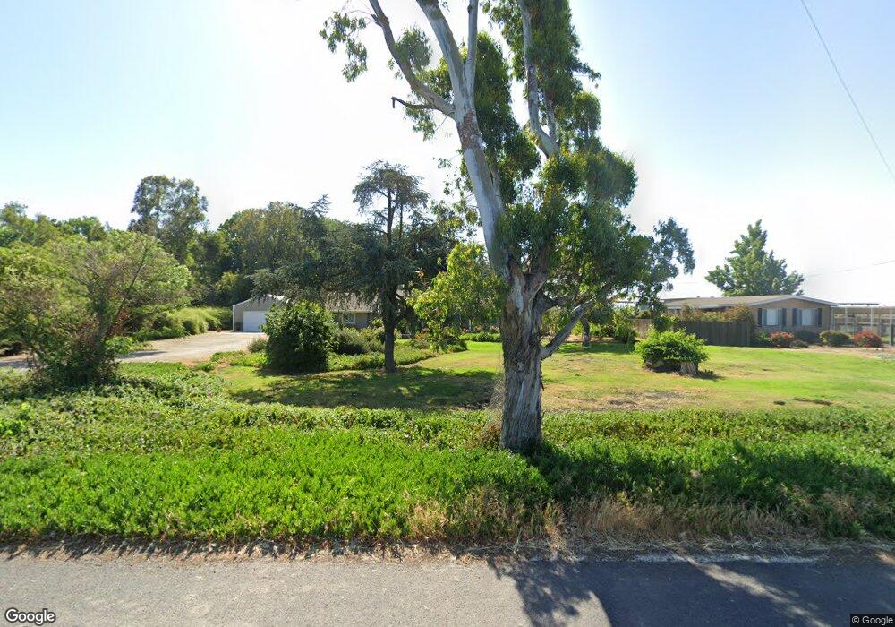
1510 N Inland Dr Stockton, CA 95206
Estimated Value: $591,000 - $958,053
6
Beds
2
Baths
2,242
Sq Ft
$345/Sq Ft
Est. Value
About This Home
This home is located at 1510 N Inland Dr, Stockton, CA 95206 and is currently estimated at $774,351, approximately $345 per square foot. 1510 N Inland Dr is a home located in San Joaquin County with nearby schools including Louis J. Villalovoz Elementary School, Earle E. Williams Middle School, and Merrill F. West High School.
Ownership History
Date
Name
Owned For
Owner Type
Purchase Details
Closed on
Jan 3, 1996
Sold by
Union Safe Deposit Bank and Garibaldi A M
Bought by
Antonini Rudolph J and Antonini Beverly M
Current Estimated Value
Home Financials for this Owner
Home Financials are based on the most recent Mortgage that was taken out on this home.
Original Mortgage
$269,880
Outstanding Balance
$7,332
Interest Rate
7.36%
Mortgage Type
Seller Take Back
Estimated Equity
$767,019
Create a Home Valuation Report for This Property
The Home Valuation Report is an in-depth analysis detailing your home's value as well as a comparison with similar homes in the area
Home Values in the Area
Average Home Value in this Area
Purchase History
| Date | Buyer | Sale Price | Title Company |
|---|---|---|---|
| Antonini Rudolph J | $360,000 | First American |
Source: Public Records
Mortgage History
| Date | Status | Borrower | Loan Amount |
|---|---|---|---|
| Open | Antonini Rudolph J | $269,880 |
Source: Public Records
Tax History Compared to Growth
Tax History
| Year | Tax Paid | Tax Assessment Tax Assessment Total Assessment is a certain percentage of the fair market value that is determined by local assessors to be the total taxable value of land and additions on the property. | Land | Improvement |
|---|---|---|---|---|
| 2025 | $2,207 | $190,184 | $25,461 | $164,723 |
| 2024 | $2,039 | $186,456 | $24,962 | $161,494 |
| 2023 | $2,007 | $182,801 | $24,473 | $158,328 |
| 2022 | $1,967 | $179,218 | $23,994 | $155,224 |
| 2021 | $1,943 | $175,705 | $23,524 | $152,181 |
| 2020 | $1,930 | $173,904 | $23,283 | $150,621 |
| 2019 | $1,900 | $170,495 | $22,827 | $147,668 |
| 2018 | $1,868 | $167,153 | $22,380 | $144,773 |
| 2017 | $1,777 | $163,877 | $21,942 | $141,935 |
| 2016 | $1,796 | $160,664 | $21,511 | $139,153 |
| 2015 | $1,779 | $158,250 | $21,188 | $137,062 |
| 2014 | $1,697 | $155,152 | $20,773 | $134,379 |
Source: Public Records
Map
Nearby Homes
- 5752 Saint Andrews Dr
- 2336 Amboy Ave
- 2333 Amboy Ave
- 4119 Spyglass Dr
- 5143 Poppy Hills Cir
- 4958 Bay View Cir
- 4135 Riverbrook Ct
- 5036 Spanish Bay Cir
- 3404 S Inland Dr
- 10113 Wayfaring Dr
- 6730 Mount Elbrus Way
- 10018 Talung Dr
- 4325 Heritage Place
- 5939 Riverbank Cir
- 3865 Gleneagles Dr
- 3653 Saint Andrews Dr Unit 14
- 4322 Riverbank Ct
- 4335 Gleneagles Ct
- 4583 Pine Valley Cir
- 3743 Saint Andrews Dr