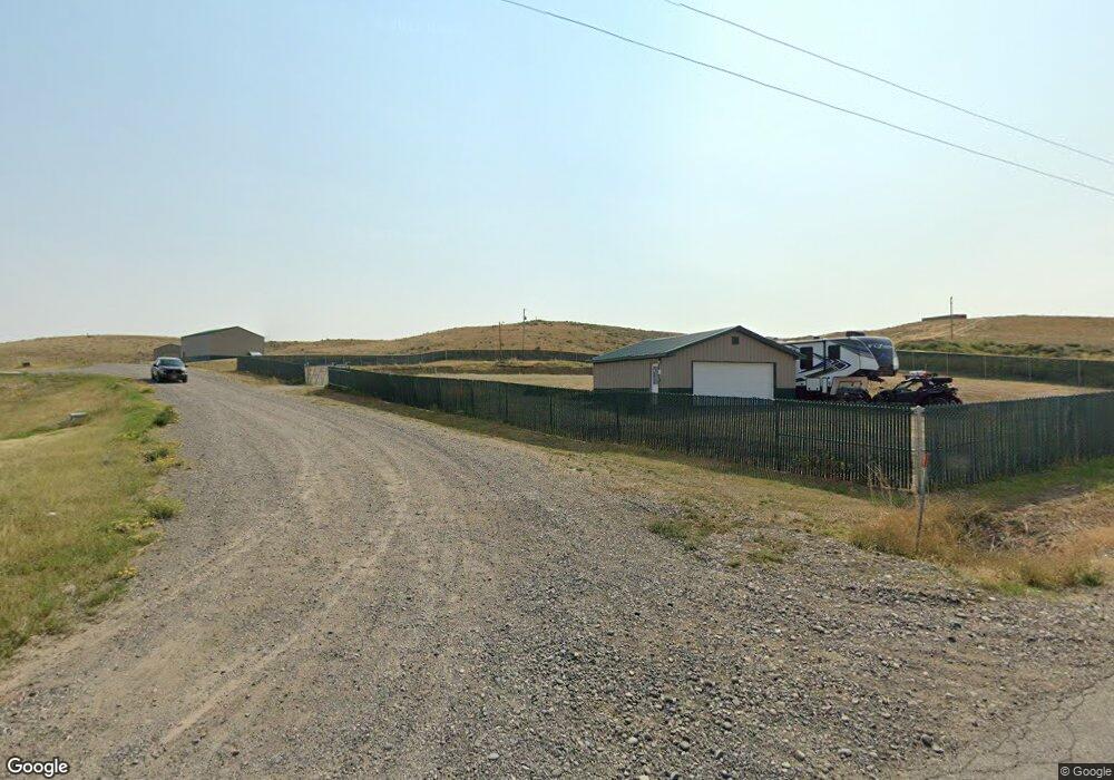
1510 Saddle Ridge Rd Laurel, MT 59044
Estimated Value: $702,690 - $794,000
2
Beds
2
Baths
2,320
Sq Ft
$317/Sq Ft
Est. Value
About This Home
This home is located at 1510 Saddle Ridge Rd, Laurel, MT 59044 and is currently estimated at $734,563, approximately $316 per square foot. 1510 Saddle Ridge Rd is a home with nearby schools including Fred W. Graff School, West School, and Laurel Middle School.
Ownership History
Date
Name
Owned For
Owner Type
Purchase Details
Closed on
Aug 13, 2021
Sold by
Cold Smoke Investments Llc
Bought by
Besaw Michael Joseph and Besaw Teressa Marie
Current Estimated Value
Home Financials for this Owner
Home Financials are based on the most recent Mortgage that was taken out on this home.
Original Mortgage
$129,638
Interest Rate
2.8%
Mortgage Type
Future Advance Clause Open End Mortgage
Purchase Details
Closed on
Jul 20, 2020
Sold by
Summit National Bank
Bought by
Cold Smoke Investments Llc
Purchase Details
Closed on
Apr 20, 2015
Sold by
Edwards James E
Bought by
Britton Levi J and Britton Barbara L
Purchase Details
Closed on
Jan 25, 2014
Sold by
Milks Benny L
Bought by
Edwards Jemes E
Purchase Details
Closed on
Jan 4, 2007
Sold by
Edwards James E
Bought by
Milks Benny L
Create a Home Valuation Report for This Property
The Home Valuation Report is an in-depth analysis detailing your home's value as well as a comparison with similar homes in the area
Home Values in the Area
Average Home Value in this Area
Purchase History
| Date | Buyer | Sale Price | Title Company |
|---|---|---|---|
| Besaw Michael Joseph | -- | First American Title Company | |
| Cold Smoke Investments Llc | -- | Chicago Title | |
| Britton Levi J | -- | American Title & Escrow | |
| Edwards Jemes E | -- | None Available | |
| Milks Benny L | -- | None Available |
Source: Public Records
Tax History Compared to Growth
Tax History
| Year | Tax Paid | Tax Assessment Tax Assessment Total Assessment is a certain percentage of the fair market value that is determined by local assessors to be the total taxable value of land and additions on the property. | Land | Improvement |
|---|---|---|---|---|
| 2025 | $3,692 | $659,500 | $146,330 | $513,170 |
| 2024 | $3,692 | $528,100 | $93,794 | $434,306 |
| 2023 | $3,663 | $528,100 | $93,794 | $434,306 |
| 2022 | $847 | $131,261 | $0 | $0 |
| 2021 | $765 | $80,441 | $0 | $0 |
| 2020 | $718 | $72,455 | $0 | $0 |
| 2019 | $722 | $72,455 | $0 | $0 |
| 2018 | $809 | $73,772 | $0 | $0 |
| 2017 | $483 | $73,772 | $0 | $0 |
| 2016 | $327 | $7,024 | $0 | $0 |
| 2015 | $408 | $7,024 | $0 | $0 |
| 2014 | -- | $37,240 | $0 | $0 |
Source: Public Records
Map
Nearby Homes
- 1960 Coyote Ridge Rd N
- 1304 Valley Dr
- 1238 Beartooth Dr
- 1013 W 12th St
- 535 Fairview Ln
- 1106 W 12th St
- 403 Grandview Blvd
- 1125 9th Ave
- 1336 Pennsylvania Ave
- 1712 Paynes Place
- 1109 10th Ave
- TBD Block 1 Lot 2
- 1036 9th Ave
- 1014 Rochelle Ln
- TBD Block 3 Lot 6
- TBD Block 1 Lot 3
- TBD Block 3 Lot 9
- TBD Block 3 Lot 1
- TBD Block 3 Lot 4
- 1003 Duval Dr