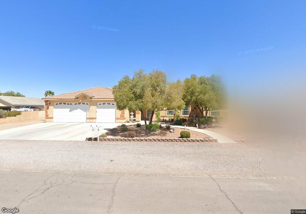
1510 Stirrup Dr Henderson, NV 89002
River Mountain NeighborhoodEstimated Value: $712,287 - $833,000
4
Beds
3
Baths
2,852
Sq Ft
$279/Sq Ft
Est. Value
About This Home
This home is located at 1510 Stirrup Dr, Henderson, NV 89002 and is currently estimated at $794,572, approximately $278 per square foot. 1510 Stirrup Dr is a home located in Clark County with nearby schools including John Dooley Elementary School, B Mahlon Brown Academy of International Studies, and Basic Academy of International Studies.
Ownership History
Date
Name
Owned For
Owner Type
Purchase Details
Closed on
Feb 17, 2005
Sold by
Hanley John P and Hanley Janet M
Bought by
Hanley John P and Hanley Janet M
Current Estimated Value
Purchase Details
Closed on
Nov 7, 2002
Sold by
Flamingo Grande Inc
Bought by
Hanley John P and Hanley Janet M
Home Financials for this Owner
Home Financials are based on the most recent Mortgage that was taken out on this home.
Original Mortgage
$70,350
Interest Rate
6.03%
Create a Home Valuation Report for This Property
The Home Valuation Report is an in-depth analysis detailing your home's value as well as a comparison with similar homes in the area
Home Values in the Area
Average Home Value in this Area
Purchase History
| Date | Buyer | Sale Price | Title Company |
|---|---|---|---|
| Hanley John P | -- | -- | |
| Hanley John P | $79,000 | Fidelity National Title |
Source: Public Records
Mortgage History
| Date | Status | Borrower | Loan Amount |
|---|---|---|---|
| Closed | Hanley John P | $70,350 |
Source: Public Records
Tax History Compared to Growth
Tax History
| Year | Tax Paid | Tax Assessment Tax Assessment Total Assessment is a certain percentage of the fair market value that is determined by local assessors to be the total taxable value of land and additions on the property. | Land | Improvement |
|---|---|---|---|---|
| 2025 | $3,296 | $185,040 | $49,000 | $136,040 |
| 2024 | $3,299 | $185,040 | $49,000 | $136,040 |
| 2023 | $3,299 | $180,859 | $52,500 | $128,359 |
| 2022 | $3,203 | $162,551 | $45,500 | $117,051 |
| 2021 | $3,110 | $146,251 | $35,000 | $111,251 |
| 2020 | $3,016 | $151,797 | $42,000 | $109,797 |
| 2019 | $2,928 | $139,451 | $31,500 | $107,951 |
| 2018 | $2,843 | $133,227 | $29,050 | $104,177 |
| 2017 | $3,918 | $135,163 | $28,000 | $107,163 |
| 2016 | $2,692 | $114,429 | $21,000 | $93,429 |
| 2015 | $2,687 | $100,145 | $14,000 | $86,145 |
| 2014 | $2,609 | $87,367 | $14,000 | $73,367 |
Source: Public Records
Map
Nearby Homes
- 2193 Red Alder St
- 2252 Maple Shade St
- 2181 Maple Shade St
- 1590 Sundown Dr
- 2357 Mundare Dr
- 2269 Sky Island Dr
- 2413 Gold Camp St
- 2169 Rio Rancho Pointe Place
- 2120 Thoroughbred Rd
- 2031 Buckeye Reef St
- 2006 Darla St
- 1590 Mustang Dr
- 2011 Darla St
- 1581 Latigo Dr
- 1290 Dalene Ave
- 1549 Broken Bell Ln
- 617 Sylvan St
- 1586 Rusty Ridge Ln
- 1424 Colt Dr
- 1554 Ward Frontier Ln
- 1520 Stirrup Dr
- 1500 Stirrup Dr
- 1511 Sundown Dr
- 1501 Sundown Dr
- 1521 Sundown Dr
- 1521 Stirrup Dr
- 1501 Stirrup Dr
- 1530 Stirrup Dr
- 1531 Sundown Dr
- 2231 Appaloosa Rd
- 2237 Appaloosa Rd
- 1510 Tumbleweed Dr
- 2225 Appaloosa Rd
- 1510 Sundown Dr
- 2243 Appaloosa Rd
- 2210 Appaloosa Rd
- 1520 Tumbleweed Dr
- 1520 Sundown Dr
- 2241 Pinto Rd
- 1540 Stirrup Dr