15101 Carson Rd Mount Vernon, OH 43050
Estimated Value: $355,000 - $455,000
2
Beds
2
Baths
1,864
Sq Ft
$219/Sq Ft
Est. Value
About This Home
This home is located at 15101 Carson Rd, Mount Vernon, OH 43050 and is currently estimated at $407,639, approximately $218 per square foot. 15101 Carson Rd is a home located in Knox County with nearby schools including Mount Vernon High School and Christian Star Academy.
Ownership History
Date
Name
Owned For
Owner Type
Purchase Details
Closed on
Jul 26, 2013
Sold by
Henthorn Marlin Richard and Henthorn Phyllis
Bought by
Henthorn Kevin L and Henthorn Rebecca A
Current Estimated Value
Home Financials for this Owner
Home Financials are based on the most recent Mortgage that was taken out on this home.
Original Mortgage
$162,800
Outstanding Balance
$120,389
Interest Rate
4.25%
Mortgage Type
FHA
Estimated Equity
$287,250
Purchase Details
Closed on
Aug 28, 1992
Sold by
Henthorn Richard M
Bought by
Henthorn Marlin Richard
Purchase Details
Closed on
Apr 30, 1992
Sold by
Henthorn Richard M and Henthorn Mary
Bought by
Henthorn Richard M
Create a Home Valuation Report for This Property
The Home Valuation Report is an in-depth analysis detailing your home's value as well as a comparison with similar homes in the area
Home Values in the Area
Average Home Value in this Area
Purchase History
| Date | Buyer | Sale Price | Title Company |
|---|---|---|---|
| Henthorn Kevin L | $142,500 | None Available | |
| Henthorn Marlin Richard | -- | -- | |
| Henthorn Richard M | -- | -- |
Source: Public Records
Mortgage History
| Date | Status | Borrower | Loan Amount |
|---|---|---|---|
| Open | Henthorn Kevin L | $162,800 |
Source: Public Records
Tax History Compared to Growth
Tax History
| Year | Tax Paid | Tax Assessment Tax Assessment Total Assessment is a certain percentage of the fair market value that is determined by local assessors to be the total taxable value of land and additions on the property. | Land | Improvement |
|---|---|---|---|---|
| 2024 | $5,116 | $119,880 | $20,910 | $98,970 |
| 2023 | $5,116 | $119,880 | $20,910 | $98,970 |
| 2022 | $3,825 | $82,670 | $14,420 | $68,250 |
| 2021 | $3,825 | $82,670 | $14,420 | $68,250 |
| 2020 | $3,732 | $82,670 | $14,420 | $68,250 |
| 2019 | $3,223 | $66,220 | $13,690 | $52,530 |
| 2018 | $3,225 | $66,220 | $13,690 | $52,530 |
| 2017 | $3,173 | $66,220 | $13,690 | $52,530 |
| 2016 | $2,956 | $61,310 | $12,670 | $48,640 |
| 2015 | $2,968 | $61,310 | $12,670 | $48,640 |
| 2014 | $2,452 | $50,620 | $12,670 | $37,950 |
| 2013 | $2,491 | $49,940 | $11,910 | $38,030 |
Source: Public Records
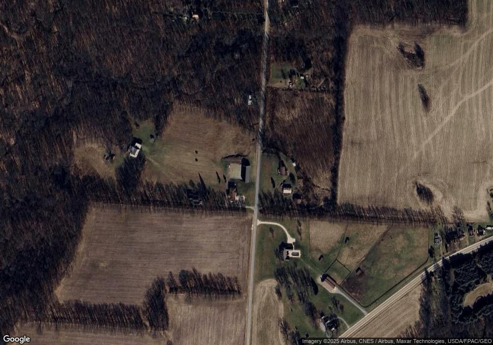
Map
Nearby Homes
- 14702 Wooster Rd
- 14499 Wooster Rd
- 0 N Liberty Rd
- 14914 N Liberty Rd
- 13999 Wooster Rd
- 17970 Scott Rd
- 14021 Gilchrist Rd
- 13618 Gilchrist Rd
- 15770 Pleasant View Rd
- 15745 Lower Fredericktown Amity Rd
- 0 Hyatt Rd
- 12627 Upper Gilchrist Rd
- 1737 Vernonview Dr
- 0 Crooked St
- 14021 Old Mansfield Rd
- 188 Plymouth Rd
- 0 Indian Hills Rd
- 14835 Indian Hills Rd
- 15132 Carson Rd
- 15081 Carson Rd
- 15240 Carson Rd
- 14919 Wooster Rd
- 15310 Carson Rd
- 15019 Wooster Rd
- 15010 Wooster Rd
- 15027 Wooster Rd
- 14764 Wooster Rd
- 15043 Wooster Rd
- 15340 Carson Rd
- 15063 Wooster Rd
- 15421 Carson Rd
- 14676 Wooster Rd
- 15420 Carson Rd
- Lot 8 Burgess Dr
- Lot 9 Burgess Dr
- 14692 Wooster Rd
- 15091 Wooster Rd