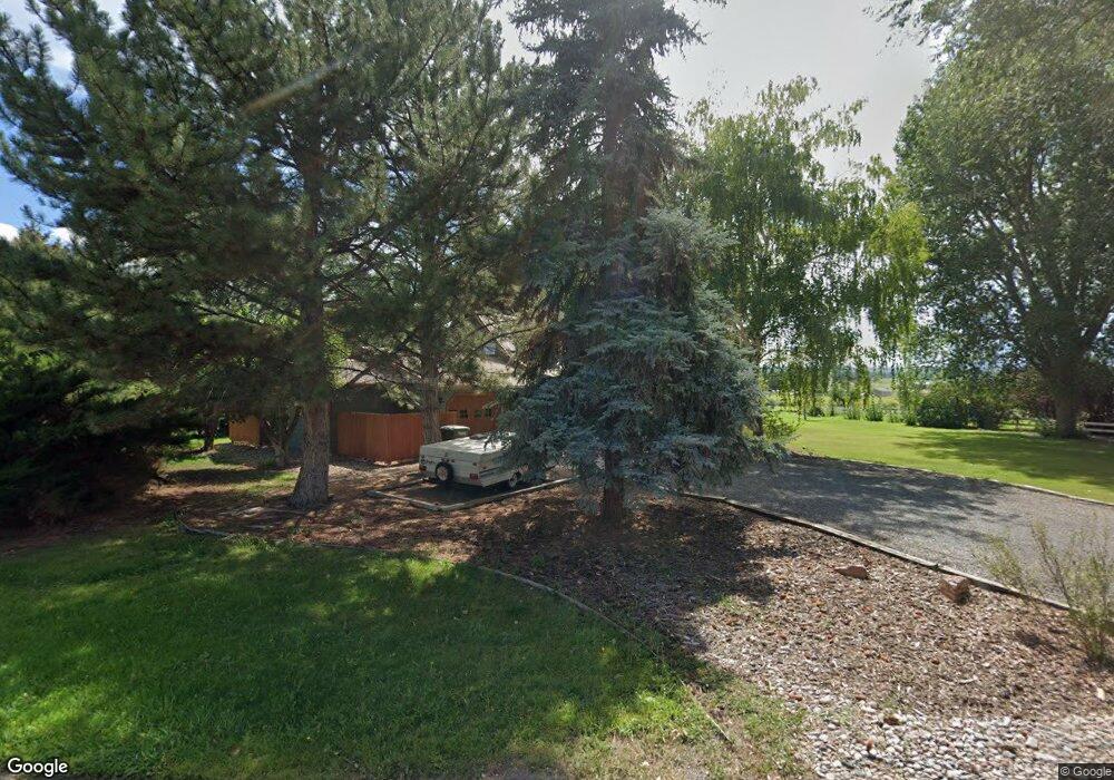
15103 6125 Rd Montrose, CO 81403
Estimated Value: $727,537 - $907,000
4
Beds
3
Baths
2,584
Sq Ft
$315/Sq Ft
Est. Value
About This Home
This home is located at 15103 6125 Rd, Montrose, CO 81403 and is currently estimated at $814,384, approximately $315 per square foot. 15103 6125 Rd is a home located in Montrose County with nearby schools including Oak Grove Elementary School, Columbine Middle School, and Montrose High School.
Ownership History
Date
Name
Owned For
Owner Type
Purchase Details
Closed on
Jul 13, 2021
Sold by
Job Ronald and Anderson Eliane
Bought by
Mcdonald Kerry Jon and Mcdonald Jennifer Joan
Current Estimated Value
Purchase Details
Closed on
Oct 30, 2019
Sold by
Masters David L and Masters Mary Jane
Bought by
Job Ronald and Anderson Elaine
Home Financials for this Owner
Home Financials are based on the most recent Mortgage that was taken out on this home.
Original Mortgage
$242,125
Interest Rate
3.7%
Mortgage Type
Commercial
Purchase Details
Closed on
Mar 22, 2018
Sold by
Coker Family Partnership Lllp
Bought by
Masters Davide L and Masters Jane
Purchase Details
Closed on
May 6, 1987
Sold by
Brennan James P and Brennan Gail W
Bought by
Masters David L and Masters Mary Jane
Purchase Details
Closed on
Jun 10, 1986
Sold by
Duffy Timothy P and Duffy Melissa T
Bought by
Brennan James P and Brennan Gail W
Create a Home Valuation Report for This Property
The Home Valuation Report is an in-depth analysis detailing your home's value as well as a comparison with similar homes in the area
Home Values in the Area
Average Home Value in this Area
Purchase History
| Date | Buyer | Sale Price | Title Company |
|---|---|---|---|
| Mcdonald Kerry Jon | $619,000 | Land Title Guarantee | |
| Job Ronald | $449,900 | Colorado Ttl & Closing Svcs | |
| Masters Davide L | $40,719 | Fidelity National Title | |
| Masters David L | $82,000 | -- | |
| Brennan James P | $77,300 | -- |
Source: Public Records
Mortgage History
| Date | Status | Borrower | Loan Amount |
|---|---|---|---|
| Previous Owner | Job Ronald | $242,125 |
Source: Public Records
Tax History Compared to Growth
Tax History
| Year | Tax Paid | Tax Assessment Tax Assessment Total Assessment is a certain percentage of the fair market value that is determined by local assessors to be the total taxable value of land and additions on the property. | Land | Improvement |
|---|---|---|---|---|
| 2024 | $2,652 | $37,240 | $9,140 | $28,100 |
| 2023 | $2,652 | $42,460 | $10,430 | $32,030 |
| 2022 | $2,030 | $29,500 | $5,160 | $24,340 |
| 2021 | $2,093 | $30,360 | $5,310 | $25,050 |
| 2020 | $1,749 | $26,070 | $4,250 | $21,820 |
| 2019 | $1,761 | $26,070 | $4,250 | $21,820 |
| 2018 | $1,037 | $22,180 | $3,420 | $18,760 |
| 2017 | $1,029 | $22,180 | $3,420 | $18,760 |
| 2016 | $1,509 | $22,340 | $3,150 | $19,190 |
| 2015 | $1,484 | $22,340 | $3,150 | $19,190 |
| 2014 | $1,250 | $20,130 | $3,500 | $16,630 |
Source: Public Records
Map
Nearby Homes
- 15189 6125 Rd
- 15067 6140 Ln
- 60837 Nighthorse Ln
- TBD Niagara Rd
- 15090 6050 Rd
- TBD Spring Creek Rd
- 62201 Chu Ln
- 14444 6215 Rd
- 60245 Oak Grove Rd
- Lot 2 Nectar Ct
- 62347 Nectar Ct
- 62592 N Star Dr
- Lot 7 6260 Rd
- 61976 Highway 90
- 15103 6260 Rd
- 15183 6260 Rd
- 60497 Maple Grove Rd
- Lot 2 6260 Rd
- TBD 6270 Rd
- 15567 6282 Rd