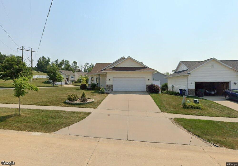
1511 Grizzly Dr NW Cedar Rapids, IA 52405
Estimated Value: $287,000 - $307,000
3
Beds
3
Baths
1,988
Sq Ft
$150/Sq Ft
Est. Value
About This Home
This home is located at 1511 Grizzly Dr NW, Cedar Rapids, IA 52405 and is currently estimated at $298,710, approximately $150 per square foot. 1511 Grizzly Dr NW is a home located in Linn County with nearby schools including Maple Grove Elementary School, North Middletown Elementary School, and Ponderosa Elementary School.
Ownership History
Date
Name
Owned For
Owner Type
Purchase Details
Closed on
Feb 29, 2012
Sold by
Sje Ltd
Bought by
Wright Michael A and Wright Vicki L
Current Estimated Value
Home Financials for this Owner
Home Financials are based on the most recent Mortgage that was taken out on this home.
Original Mortgage
$162,610
Outstanding Balance
$20,804
Interest Rate
3.86%
Mortgage Type
FHA
Estimated Equity
$277,906
Purchase Details
Closed on
Apr 30, 2009
Sold by
Sje Ltd
Bought by
Wright Michael A and Wright Vicki L
Home Financials for this Owner
Home Financials are based on the most recent Mortgage that was taken out on this home.
Original Mortgage
$168,750
Interest Rate
6.87%
Mortgage Type
Seller Take Back
Create a Home Valuation Report for This Property
The Home Valuation Report is an in-depth analysis detailing your home's value as well as a comparison with similar homes in the area
Home Values in the Area
Average Home Value in this Area
Purchase History
| Date | Buyer | Sale Price | Title Company |
|---|---|---|---|
| Wright Michael A | $187,500 | Security First Title Co | |
| Wright Michael A | $187,500 | None Available |
Source: Public Records
Mortgage History
| Date | Status | Borrower | Loan Amount |
|---|---|---|---|
| Open | Wright Michael A | $162,610 | |
| Previous Owner | Wright Michael A | $168,750 |
Source: Public Records
Tax History Compared to Growth
Tax History
| Year | Tax Paid | Tax Assessment Tax Assessment Total Assessment is a certain percentage of the fair market value that is determined by local assessors to be the total taxable value of land and additions on the property. | Land | Improvement |
|---|---|---|---|---|
| 2025 | $4,186 | $277,600 | $62,300 | $215,300 |
| 2024 | $4,394 | $254,000 | $58,800 | $195,200 |
| 2023 | $4,394 | $254,000 | $58,800 | $195,200 |
| 2022 | $4,166 | $217,200 | $51,600 | $165,600 |
| 2021 | $4,304 | $210,100 | $44,500 | $165,600 |
| 2020 | $4,304 | $203,700 | $44,500 | $159,200 |
| 2019 | $3,792 | $184,400 | $35,600 | $148,800 |
| 2018 | $3,682 | $184,400 | $35,600 | $148,800 |
| 2017 | $3,748 | $180,600 | $35,600 | $145,000 |
| 2016 | $3,807 | $179,100 | $35,600 | $143,500 |
| 2015 | $3,681 | $172,984 | $35,620 | $137,364 |
| 2014 | $3,496 | $172,984 | $35,620 | $137,364 |
| 2013 | $3,416 | $172,984 | $35,620 | $137,364 |
Source: Public Records
Map
Nearby Homes
- 1722 Gardner Dr NW
- 1608 Morris Ave NW
- 3802 Richland Dr NW
- 4819 Fruitwood Ln NW
- 327* Edgewood Rd NW
- 3313 Crestwood Dr NW
- 1613 Southview Dr NW
- 1733 Hillside Dr NW
- 3312 G Ave NW
- 1322 Woodside Dr NW
- 272 Peace Ave NW
- 4819 Ford Ave NW
- 281 Jacolyn Dr NW
- 3507 E Ave NW Unit F
- 3509 E Ave NW Unit D
- 2825 Schultz Dr NW
- 208 Lenora Dr NW
- 4975 Kesler Rd NW
- 2801 Schultz Dr NW
- 200 Cherry Park Dr NW
- 1507 Grizzly Dr NW
- 1434 Wolf Dr NW
- 1531 Wolf Dr NW
- 1505 Grizzly Dr NW
- 1525 Wolf Dr NW
- 1510 Grizzly Dr NW
- 1601 Wolf Dr NW
- 1519 Wolf Dr NW
- 1426 Wolf Dr NW
- 1504 Grizzly Dr NW
- 1605 Wolf Dr NW
- 1513 Wolf Dr NW
- 1419 Grizzly Dr NW
- 1420 Wolf Dr NW
- 1611 Wolf Dr NW
- 1515 Kodiak Dr NW
- 1420 Grizzly Dr NW
- 1509 Kodiak Dr NW
- 1414 Wolf Dr NW
- 1413 Grizzly Dr NW