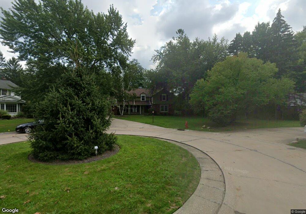
1511 Parkside Cir Cleveland, OH 44124
Estimated Value: $372,890 - $476,000
6
Beds
2
Baths
3,219
Sq Ft
$130/Sq Ft
Est. Value
About This Home
This home is located at 1511 Parkside Cir, Cleveland, OH 44124 and is currently estimated at $418,473, approximately $130 per square foot. 1511 Parkside Cir is a home located in Cuyahoga County with nearby schools including Greenview Upper Elementary School, Sunview Elementary School, and Memorial Junior High School.
Ownership History
Date
Name
Owned For
Owner Type
Purchase Details
Closed on
Nov 2, 2021
Sold by
Hawkins John T and The Maryellen M Hammer Trust
Bought by
Kelly Sean and Hammer Kyle
Current Estimated Value
Home Financials for this Owner
Home Financials are based on the most recent Mortgage that was taken out on this home.
Original Mortgage
$165,000
Outstanding Balance
$151,320
Interest Rate
3.05%
Mortgage Type
New Conventional
Estimated Equity
$267,153
Purchase Details
Closed on
May 19, 2005
Sold by
Estate Of Maryellen M Hammer
Bought by
Hammer George D and Maryellen M Hammer Trust
Purchase Details
Closed on
Jan 1, 1975
Bought by
Hammer Maryellen
Create a Home Valuation Report for This Property
The Home Valuation Report is an in-depth analysis detailing your home's value as well as a comparison with similar homes in the area
Home Values in the Area
Average Home Value in this Area
Purchase History
| Date | Buyer | Sale Price | Title Company |
|---|---|---|---|
| Kelly Sean | $265,000 | Ohio Real Title | |
| Hammer George D | -- | -- | |
| Hammer Maryellen | -- | -- |
Source: Public Records
Mortgage History
| Date | Status | Borrower | Loan Amount |
|---|---|---|---|
| Open | Kelly Sean | $165,000 |
Source: Public Records
Tax History Compared to Growth
Tax History
| Year | Tax Paid | Tax Assessment Tax Assessment Total Assessment is a certain percentage of the fair market value that is determined by local assessors to be the total taxable value of land and additions on the property. | Land | Improvement |
|---|---|---|---|---|
| 2024 | $9,245 | $134,995 | $25,025 | $109,970 |
| 2023 | $9,778 | $115,470 | $18,410 | $97,060 |
| 2022 | $9,721 | $115,470 | $18,410 | $97,060 |
| 2021 | $9,636 | $115,470 | $18,410 | $97,060 |
| 2020 | $9,984 | $104,970 | $16,730 | $88,240 |
| 2019 | $8,995 | $299,900 | $47,800 | $252,100 |
| 2018 | $9,005 | $104,970 | $16,730 | $88,240 |
| 2017 | $9,134 | $98,460 | $15,190 | $83,270 |
| 2016 | $9,065 | $98,460 | $15,190 | $83,270 |
| 2015 | $8,420 | $98,460 | $15,190 | $83,270 |
| 2014 | $8,420 | $92,020 | $14,210 | $77,810 |
Source: Public Records
Map
Nearby Homes
- 1512 Parkside Cir
- 4695 Mayfield Rd Unit A
- 4685 Mayfield Rd Unit F
- 4800 Farnhurst Rd
- 1503 Oakmount Rd
- 1333 Clearview Rd
- 1271 Dorsh Rd
- 5027 Bristol Ct
- 5079 Haverford Dr
- 4650 Liberty Rd
- 4669 Liberty Rd
- 5103 Eastover Rd
- 1667 Richmond Rd
- 5144 Oakmont Dr
- 4866 Fairlawn Rd
- 5159 Haverford Dr
- 1691 Harwich Rd
- 4493 Telhurst Rd
- 4781 Dorshwood Rd
- 1514 Garden Dr
- 1505 Parkside Cir
- 4807 Brookwood Dr
- 1504 Clubside Rd
- 1512 Clubside Rd
- 4781 Brookwood Dr
- 4851 Countryside Rd
- 1507 Clubside Rd
- 1544 Clubside Rd
- 4792 Brookwood Dr
- 4763 Mayfield Rd
- 4812 Brookwood Dr
- 4761 Mayfield Rd
- 1460 Evanston Rd
- 1523 Clubside Rd
- 4863 Countryside Rd
- 1456 Evanston Rd
- 1452 Evanston Rd
- 1535 Clubside Rd
- 4759 Mayfield Rd
- 4875 Countryside Rd