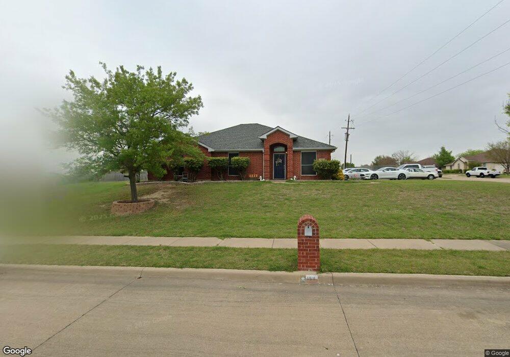
1511 Whiterock Dr Midlothian, TX 76065
Estimated Value: $391,005 - $395,000
4
Beds
2
Baths
1,876
Sq Ft
$209/Sq Ft
Est. Value
About This Home
This home is located at 1511 Whiterock Dr, Midlothian, TX 76065 and is currently estimated at $393,003, approximately $209 per square foot. 1511 Whiterock Dr is a home located in Ellis County with nearby schools including Mount Peak Elementary School and Frank Seale Middle School.
Ownership History
Date
Name
Owned For
Owner Type
Purchase Details
Closed on
Jan 13, 2016
Sold by
Tausch Mary E
Bought by
Glossup Carrie
Current Estimated Value
Home Financials for this Owner
Home Financials are based on the most recent Mortgage that was taken out on this home.
Original Mortgage
$149,600
Outstanding Balance
$119,058
Interest Rate
3.98%
Mortgage Type
New Conventional
Estimated Equity
$273,945
Purchase Details
Closed on
Apr 6, 2006
Sold by
Ziegler Tyson W and Ziegler Deborah L
Bought by
Brogan Peter J and Brogan Johanna
Create a Home Valuation Report for This Property
The Home Valuation Report is an in-depth analysis detailing your home's value as well as a comparison with similar homes in the area
Home Values in the Area
Average Home Value in this Area
Purchase History
| Date | Buyer | Sale Price | Title Company |
|---|---|---|---|
| Glossup Carrie | -- | None Available | |
| Brogan Peter J | -- | None Available |
Source: Public Records
Mortgage History
| Date | Status | Borrower | Loan Amount |
|---|---|---|---|
| Open | Glossup Carrie | $149,600 |
Source: Public Records
Tax History Compared to Growth
Tax History
| Year | Tax Paid | Tax Assessment Tax Assessment Total Assessment is a certain percentage of the fair market value that is determined by local assessors to be the total taxable value of land and additions on the property. | Land | Improvement |
|---|---|---|---|---|
| 2025 | $5,028 | $369,120 | $126,500 | $242,620 |
| 2024 | $5,028 | $346,261 | -- | -- |
| 2023 | $5,028 | $314,783 | $0 | $0 |
| 2022 | $6,411 | $286,166 | $0 | $0 |
| 2021 | $6,136 | $259,300 | $57,500 | $201,800 |
| 2020 | $5,965 | $237,130 | $56,000 | $181,130 |
| 2019 | $6,039 | $244,820 | $0 | $0 |
| 2018 | $4,747 | $219,830 | $30,000 | $189,830 |
| 2017 | $5,073 | $190,590 | $30,000 | $160,590 |
| 2016 | $4,667 | $175,340 | $30,000 | $145,340 |
| 2015 | $4,011 | $151,210 | $30,000 | $121,210 |
| 2014 | $4,011 | $150,670 | $0 | $0 |
Source: Public Records
Map
Nearby Homes
- 5822 Yellow Rose Ct
- 6431 Peak View Ct
- 960 High Knoll Dr
- 6495 Waterworks Rd
- 1141 Trophy Ct E
- 6841 Singleton Rd
- 218 Calvert Dr
- 730 Celebrity Ct
- 5630 Cool Springs Dr
- 410 Bentley Dr
- 5038 W Fall Dr
- 438 Bentley Dr
- 5014 Prosperity Row
- 2791 Bobby Smith Ln
- 626 Deleon Dr
- 811 San Saba E
- 5610 Goodnight Ct
- 5622 Log Cabin Ct
- 414 Mountain Peak Bend
- 6030 Kansas Trail
- 1521 Whiterock Dr
- 1510 Sunnydale Dr
- 6430 Vista View Dr
- 6420 Vista View Dr
- 1520 Sunnydale Dr
- 1510 Whiterock Dr
- 6440 Vista View Dr
- 1531 Whiterock Dr
- 1520 Whiterock Dr
- 6410 Vista View Dr
- 1530 Sunnydale Dr
- 6450 Vista View Dr
- 6431 Mountain Peak Ct
- 6421 Mountain Peak Ct
- 1530 Whiterock Dr
- 1541 Whiterock Dr
- 6260 Vista View Dr
- 6411 Mountain Peak Ct
- 1540 Sunnydale Dr
- 6441 Mountain Peak Ct