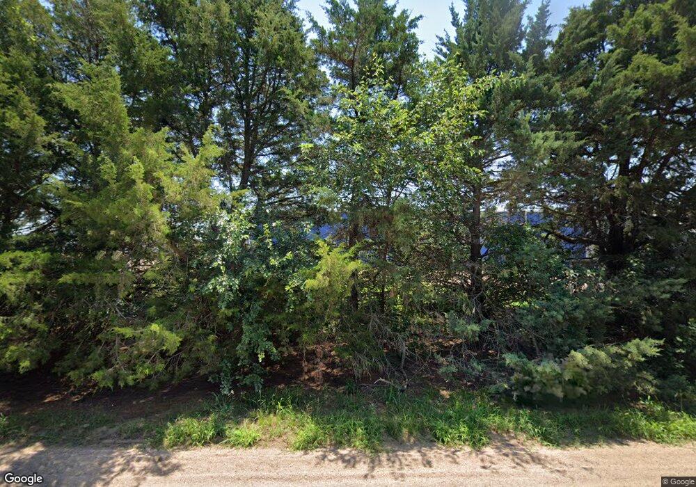
15115 E Red Rock Rd Burrton, KS 67020
Estimated Value: $338,000 - $449,311
4
Beds
3
Baths
2,370
Sq Ft
$166/Sq Ft
Est. Value
About This Home
This home is located at 15115 E Red Rock Rd, Burrton, KS 67020 and is currently estimated at $393,656, approximately $166 per square foot. 15115 E Red Rock Rd is a home located in Reno County.
Create a Home Valuation Report for This Property
The Home Valuation Report is an in-depth analysis detailing your home's value as well as a comparison with similar homes in the area
Home Values in the Area
Average Home Value in this Area
Purchase History
| Date | Buyer | Sale Price | Title Company |
|---|---|---|---|
| Weninger Gregory M | -- | -- |
Source: Public Records
Tax History Compared to Growth
Tax History
| Year | Tax Paid | Tax Assessment Tax Assessment Total Assessment is a certain percentage of the fair market value that is determined by local assessors to be the total taxable value of land and additions on the property. | Land | Improvement |
|---|---|---|---|---|
| 2024 | $6,991 | $50,436 | $941 | $49,495 |
| 2023 | $6,378 | $46,983 | $720 | $46,263 |
| 2022 | $5,436 | $39,488 | $726 | $38,762 |
| 2021 | $5,320 | $38,039 | $608 | $37,431 |
| 2020 | $5,878 | $33,451 | $605 | $32,846 |
| 2019 | $5,640 | $39,754 | $481 | $39,273 |
| 2018 | $2,799 | $38,321 | $469 | $37,852 |
| 2017 | $5,723 | $38,918 | $405 | $38,513 |
| 2016 | $5,669 | $38,762 | $396 | $38,366 |
| 2015 | $4,940 | $39,113 | $1,251 | $37,862 |
| 2014 | $4,940 | $37,871 | $1,251 | $36,620 |
Source: Public Records
Map
Nearby Homes
- 000 SW 60th St
- 65.88 + - Acres N 279th St W
- 37.85 + - Acres N 279th St W
- 4018 S Burmac Rd
- 28.03 - Acres N 279th St W
- 00000 E K50 Hwy
- 21105 SW 72nd St
- Lot 4 Block 2 W Drover's Ln
- Lot 5 Block 2 W Drover's Ln
- Lot 2 Block 2 W Drover's Ln
- Lot 10 Block 2 W Drover's Ln
- Lot 3 Block 2 W Drover's Ln
- 512 E Main St
- 210 N Emporia St
- 101 S Salina St
- 505 E 2nd St
- 0000 Silvers St
- 314 N Kansas St
- 112 S Emporia St
- 401 N Kansas St
