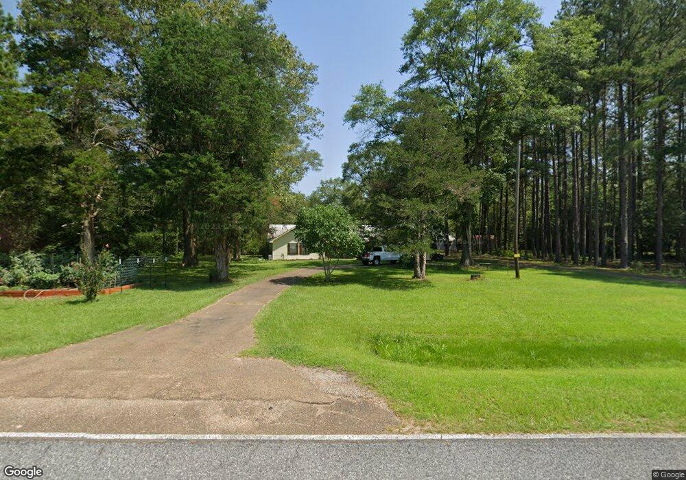
15119 Highway 472 Hazlehurst, MS 39083
Estimated Value: $175,000 - $236,000
3
Beds
3
Baths
2,009
Sq Ft
$105/Sq Ft
Est. Value
About This Home
This home is located at 15119 Highway 472, Hazlehurst, MS 39083 and is currently estimated at $211,718, approximately $105 per square foot. 15119 Highway 472 is a home located in Copiah County.
Ownership History
Date
Name
Owned For
Owner Type
Purchase Details
Closed on
Jun 9, 2021
Sold by
Kiaser Kenneth K and Kaiser Angela S
Bought by
Mccardle Cathrine N
Current Estimated Value
Home Financials for this Owner
Home Financials are based on the most recent Mortgage that was taken out on this home.
Original Mortgage
$143,286
Outstanding Balance
$58,036
Interest Rate
2.9%
Mortgage Type
New Conventional
Estimated Equity
$153,682
Create a Home Valuation Report for This Property
The Home Valuation Report is an in-depth analysis detailing your home's value as well as a comparison with similar homes in the area
Home Values in the Area
Average Home Value in this Area
Purchase History
| Date | Buyer | Sale Price | Title Company |
|---|---|---|---|
| Mccardle Cathrine N | -- | None Available | |
| Mccardle Cathrine N | -- | None Available |
Source: Public Records
Mortgage History
| Date | Status | Borrower | Loan Amount |
|---|---|---|---|
| Open | Mccardle Cathrine N | $143,286 | |
| Closed | Mccardle Cathrine N | $143,286 |
Source: Public Records
Tax History Compared to Growth
Tax History
| Year | Tax Paid | Tax Assessment Tax Assessment Total Assessment is a certain percentage of the fair market value that is determined by local assessors to be the total taxable value of land and additions on the property. | Land | Improvement |
|---|---|---|---|---|
| 2025 | $2,490 | $26,446 | $0 | $0 |
| 2024 | $2,490 | $22,487 | $0 | $0 |
| 2023 | $2,520 | $22,490 | $0 | $0 |
| 2022 | $2,545 | $22,446 | $0 | $0 |
| 2021 | $2,493 | $22,682 | $0 | $0 |
| 2020 | $2,445 | $21,664 | $0 | $0 |
| 2019 | $868 | $10,208 | $0 | $0 |
| 2018 | $773 | $9,501 | $0 | $0 |
| 2017 | $751 | $9,496 | $0 | $0 |
| 2016 | $751 | $9,494 | $0 | $0 |
| 2015 | $768 | $9,483 | $0 | $0 |
| 2014 | $768 | $9,474 | $0 | $0 |
Source: Public Records
Map
Nearby Homes
- 0 Steel Creek Rd
- 00 Steel Creek Rd
- 0 Hwy 27 Unit 23890335
- 0000 Lower Rockport Rd
- 1002 Poplar Springs Rd
- 1048 Williamson Rd
- 0 Runnels Rd Unit 140947
- 0 Railroad Ave
- 0 Broad St
- 9307a Mississippi 28
- 00 King Rd
- 110 W Highway 28 Lot: 5
- 3142 King Rd
- 1 Mississippi 478
- 2 Mississippi 478
- 0 Mississippi 478
- 4 Mississippi 478
- 000 Mississippi 478
- 4124 Swilley Rd
- 5 Mississippi 478
- 15119 Hwy 472
- 15119 Mississippi 472
- 15147 Mississippi 472
- 15147 Hwy 472
- 0 Rockport Rd Unit 310900
- 0 Rockport Rd Unit 223253
- 0 Rockport Rd Unit 1223253
- 0 Rockport Rd Unit 1310900
- 0 Rockport Rd Unit 1318590
- 0 Rockport Rd Unit 1331150
- 0 Rockport Rd Unit 1333229
- 0 Rockport Rd Unit 333229
- 0 Rockport Rd Unit 331150
- 0 Rockport Rd Unit 318590
- 15142 NE Ms-472
- 0 Hwy 472 Lot Unit WP001
- 0 Hwy 472 Unit LotWP001 22862267
- 0 Highway 472 Unit 1321431
- 0 Hwy 472 Unit 321431
- 1002 Jones Ln