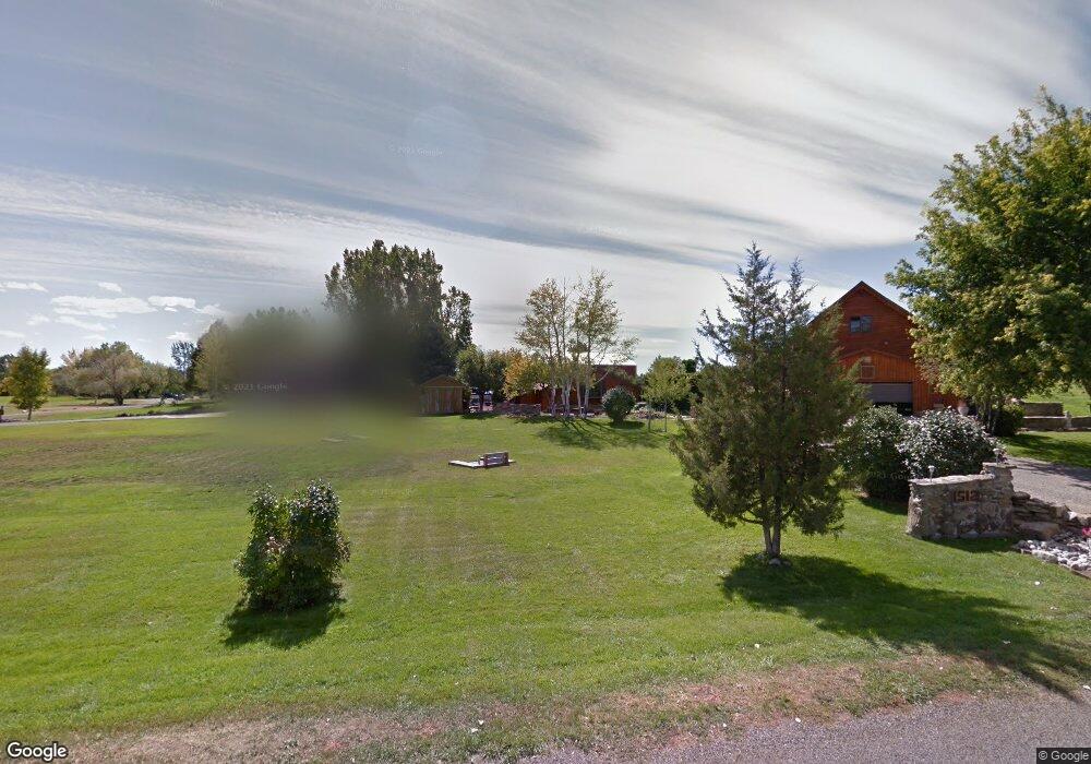
1512 Downy Rd Laurel, MT 59044
Estimated Value: $453,247 - $604,000
3
Beds
2
Baths
1,152
Sq Ft
$458/Sq Ft
Est. Value
About This Home
This home is located at 1512 Downy Rd, Laurel, MT 59044 and is currently estimated at $528,062, approximately $458 per square foot. 1512 Downy Rd is a home located in Yellowstone County with nearby schools including Fred W. Graff School, West School, and Laurel Middle School.
Ownership History
Date
Name
Owned For
Owner Type
Purchase Details
Closed on
Jul 2, 2008
Sold by
Southworth James O and Southworth Shirley C Lee
Bought by
Christensen Rodney D and Christensen Lynette C
Current Estimated Value
Home Financials for this Owner
Home Financials are based on the most recent Mortgage that was taken out on this home.
Original Mortgage
$220,500
Outstanding Balance
$141,745
Interest Rate
6%
Mortgage Type
Purchase Money Mortgage
Estimated Equity
$386,317
Create a Home Valuation Report for This Property
The Home Valuation Report is an in-depth analysis detailing your home's value as well as a comparison with similar homes in the area
Home Values in the Area
Average Home Value in this Area
Purchase History
| Date | Buyer | Sale Price | Title Company |
|---|---|---|---|
| Christensen Rodney D | -- | St |
Source: Public Records
Mortgage History
| Date | Status | Borrower | Loan Amount |
|---|---|---|---|
| Open | Christensen Rodney D | $220,500 |
Source: Public Records
Tax History
| Year | Tax Paid | Tax Assessment Tax Assessment Total Assessment is a certain percentage of the fair market value that is determined by local assessors to be the total taxable value of land and additions on the property. | Land | Improvement |
|---|---|---|---|---|
| 2025 | $2,658 | $472,600 | $112,604 | $359,996 |
| 2024 | $2,658 | $382,600 | $85,635 | $296,965 |
| 2023 | $2,682 | $382,600 | $85,635 | $296,965 |
| 2022 | $2,332 | $323,800 | $0 | $0 |
| 2021 | $2,324 | $323,800 | $0 | $0 |
| 2020 | $2,219 | $302,100 | $0 | $0 |
| 2019 | $2,138 | $302,100 | $0 | $0 |
| 2018 | $2,393 | $293,900 | $0 | $0 |
| 2017 | $2,185 | $293,900 | $0 | $0 |
| 2016 | $2,039 | $277,800 | $0 | $0 |
| 2015 | $2,009 | $277,800 | $0 | $0 |
| 2014 | $1,771 | $130,327 | $0 | $0 |
Source: Public Records
Map
Nearby Homes
- 1665 Wild Lupine Ln
- 1108 E 8th St
- 1104 E 8th St
- 1106 Sunhaven Dr
- 1008 Sunhaven Dr
- 611 Elm Ave
- 605 Date Ave
- 109 E 12th St
- 1003 Montana Ave
- 1319 Valley Dr
- 717 E 5th, 506 Alder Ave
- 717 E 5th St
- 1627 Brookway Cir
- 601 E 5th St
- 516 Pennsylvania Ave
- 512 W 14th St
- 110 E 5th St
- 1013 W 12th St
- 1960 Coyote Ridge Rd N
- 1106 W 12th St
Your Personal Tour Guide
Ask me questions while you tour the home.