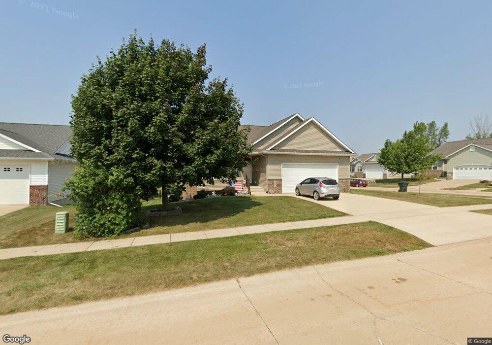
1512 Kodiak Dr NW Cedar Rapids, IA 52405
Estimated Value: $335,830 - $370,000
4
Beds
3
Baths
2,287
Sq Ft
$154/Sq Ft
Est. Value
About This Home
This home is located at 1512 Kodiak Dr NW, Cedar Rapids, IA 52405 and is currently estimated at $352,458, approximately $154 per square foot. 1512 Kodiak Dr NW is a home located in Linn County with nearby schools including Maple Grove Elementary School, North Middletown Elementary School, and Ponderosa Elementary School.
Ownership History
Date
Name
Owned For
Owner Type
Purchase Details
Closed on
Apr 24, 2009
Sold by
Cs & R Llc
Bought by
Kinch Donald W and Kinch Patricia L
Current Estimated Value
Home Financials for this Owner
Home Financials are based on the most recent Mortgage that was taken out on this home.
Original Mortgage
$95,000
Outstanding Balance
$60,409
Interest Rate
5.05%
Mortgage Type
Purchase Money Mortgage
Estimated Equity
$292,049
Create a Home Valuation Report for This Property
The Home Valuation Report is an in-depth analysis detailing your home's value as well as a comparison with similar homes in the area
Home Values in the Area
Average Home Value in this Area
Purchase History
| Date | Buyer | Sale Price | Title Company |
|---|---|---|---|
| Kinch Donald W | $228,500 | None Available | |
| Cs & R Llc | $13,500 | None Available |
Source: Public Records
Mortgage History
| Date | Status | Borrower | Loan Amount |
|---|---|---|---|
| Open | Kinch Donald W | $95,000 |
Source: Public Records
Tax History Compared to Growth
Tax History
| Year | Tax Paid | Tax Assessment Tax Assessment Total Assessment is a certain percentage of the fair market value that is determined by local assessors to be the total taxable value of land and additions on the property. | Land | Improvement |
|---|---|---|---|---|
| 2025 | $5,062 | $342,100 | $59,400 | $282,700 |
| 2024 | $5,368 | $312,100 | $56,000 | $256,100 |
| 2023 | $5,368 | $312,100 | $56,000 | $256,100 |
| 2022 | $5,082 | $266,800 | $49,200 | $217,600 |
| 2021 | $5,230 | $257,700 | $42,400 | $215,300 |
| 2020 | $5,230 | $248,900 | $42,400 | $206,500 |
| 2019 | $4,640 | $227,000 | $34,000 | $193,000 |
| 2018 | $4,506 | $227,000 | $34,000 | $193,000 |
| 2017 | $4,506 | $223,400 | $34,000 | $189,400 |
| 2016 | $4,635 | $221,400 | $34,000 | $187,400 |
| 2015 | $4,461 | $212,974 | $33,953 | $179,021 |
| 2014 | $4,276 | $212,974 | $33,953 | $179,021 |
| 2013 | $4,178 | $212,974 | $33,953 | $179,021 |
Source: Public Records
Map
Nearby Homes
- 1722 Gardner Dr NW
- 1608 Morris Ave NW
- 4819 Fruitwood Ln NW
- 3802 Richland Dr NW
- 327* Edgewood Rd NW
- 3313 Crestwood Dr NW
- 1613 Southview Dr NW
- 272 Peace Ave NW
- 281 Jacolyn Dr NW
- 1733 Hillside Dr NW
- 4819 Ford Ave NW
- 3312 G Ave NW
- 200 Cherry Park Dr NW
- 1322 Woodside Dr NW
- 4975 Kesler Rd NW
- 208 Lenora Dr NW
- 3507 E Ave NW Unit F
- 3509 E Ave NW Unit D
- 229 Jacolyn Dr NW
- 2825 Schultz Dr NW
- 1506 Kodiak Dr NW
- 1713 Bobcat Dr NW
- 1707 Bobcat Dr NW
- 1500 Kodiak Dr NW
- 1709 Wolf Dr NW
- 1515 Kodiak Dr NW
- 1703 Wolf Dr NW
- 1701 Bobcat Dr NW
- 1715 Wolf Dr NW
- 1623 Wolf Dr NW
- 1509 Kodiak Dr NW
- 1416 Kodiak Dr NW
- 1721 Wolf Dr NW
- 1623 Bobcat Dr NW
- 1617 Wolf Dr NW
- 1704 Bobcat Dr NW
- 1510 Grizzly Dr NW
- 1716 Bobcat Dr NW
- 1710 Bobcat Dr NW
- 1611 Wolf Dr NW