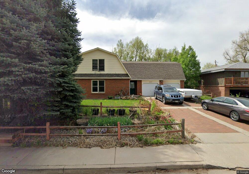
1512 W 12th St Loveland, CO 80537
Estimated Value: $565,000 - $675,000
4
Beds
4
Baths
2,000
Sq Ft
$310/Sq Ft
Est. Value
About This Home
This home is located at 1512 W 12th St, Loveland, CO 80537 and is currently estimated at $619,664, approximately $309 per square foot. 1512 W 12th St is a home located in Larimer County with nearby schools including Garfield Elementary School, Bill Reed Middle School, and Loveland High School.
Ownership History
Date
Name
Owned For
Owner Type
Purchase Details
Closed on
Jun 17, 2010
Sold by
Wells Fargo Financial Colorado Inc
Bought by
Platz Elisa L
Current Estimated Value
Home Financials for this Owner
Home Financials are based on the most recent Mortgage that was taken out on this home.
Original Mortgage
$192,408
Outstanding Balance
$132,258
Interest Rate
5.5%
Mortgage Type
FHA
Estimated Equity
$487,406
Purchase Details
Closed on
Feb 17, 2010
Sold by
Hesser Evelyn M and Hesser William T
Bought by
Wells Fargo Financial Colorado Inc
Purchase Details
Closed on
Dec 1, 1995
Sold by
Hird Larry L
Bought by
Hesser William T
Create a Home Valuation Report for This Property
The Home Valuation Report is an in-depth analysis detailing your home's value as well as a comparison with similar homes in the area
Home Values in the Area
Average Home Value in this Area
Purchase History
| Date | Buyer | Sale Price | Title Company |
|---|---|---|---|
| Platz Elisa L | $195,000 | Fidelity National Title Insu | |
| Wells Fargo Financial Colorado Inc | -- | None Available | |
| Hesser William T | $225,000 | -- |
Source: Public Records
Mortgage History
| Date | Status | Borrower | Loan Amount |
|---|---|---|---|
| Open | Platz Elisa L | $192,408 |
Source: Public Records
Tax History Compared to Growth
Tax History
| Year | Tax Paid | Tax Assessment Tax Assessment Total Assessment is a certain percentage of the fair market value that is determined by local assessors to be the total taxable value of land and additions on the property. | Land | Improvement |
|---|---|---|---|---|
| 2025 | $2,946 | $40,595 | $2,345 | $38,250 |
| 2024 | $2,841 | $40,595 | $2,345 | $38,250 |
| 2022 | $2,390 | $30,031 | $2,433 | $27,598 |
| 2021 | $2,455 | $30,896 | $2,503 | $28,393 |
| 2020 | $2,175 | $27,356 | $2,503 | $24,853 |
| 2019 | $2,138 | $27,356 | $2,503 | $24,853 |
| 2018 | $2,351 | $28,562 | $2,520 | $26,042 |
| 2017 | $2,024 | $28,562 | $2,520 | $26,042 |
| 2016 | $1,217 | $16,589 | $2,786 | $13,803 |
| 2015 | $1,207 | $16,590 | $2,790 | $13,800 |
| 2014 | $1,097 | $14,590 | $2,790 | $11,800 |
Source: Public Records
Map
Nearby Homes
- 1100 Taft Ave
- 1100 Taft Ave Unit 46
- 1607 W U S 34
- 1667 Taft Gardens Cir
- 1205 Loch Mount Dr
- 1658 Taft Gardens Cir
- 1100 N Taft Ave Unit 27
- 901 W Kelly Dr
- 1502 Westshore Dr
- 1510 Westshore Dr
- 1714 W 8th St
- 1209 E Broadmoor Dr
- 1633 Van Buren Ave Unit 1
- 1016 Winona Cir
- 2030 W 17th St Unit A8
- 1125 W Broadmoor Dr
- 1131 W Broadmoor Dr
- 1330 W 6th St
- 1812 Van Buren Ave
- 1718 Dotsero Ave
- 1121 Hilltop Dr
- 1520 W 12th St
- 1520 W 12th St Unit B - 1
- 1513 W 12th St
- 1517 W 12th St
- 1509 W 12th St
- 1120 Hilltop Dr
- 1521 W 12th St
- 1215 Hilltop Dr
- 1525 W 12th St
- 1106 Hilltop Dr
- 1204 Hilltop Dr
- 1404 W 12th St
- 1221 Hilltop Dr
- 1603 W 12th St
- 1108 Hilltop Dr
- 1101 Hilltop Dr
- 1216 Hilltop Dr
- 1518 W 13th St
- 1522 W 13th St