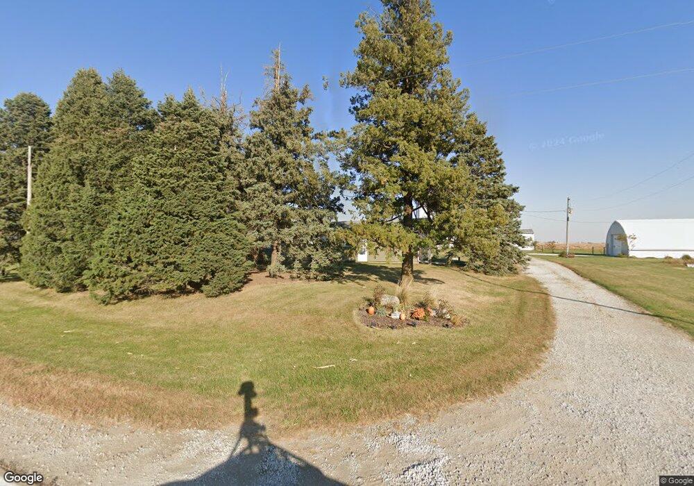
Estimated Value: $435,000 - $568,492
3
Beds
2
Baths
1,402
Sq Ft
$364/Sq Ft
Est. Value
About This Home
This home is located at 1512 X Ave, Ames, IA 50014 and is currently estimated at $510,831, approximately $364 per square foot. 1512 X Ave is a home located in Boone County with nearby schools including United Community School North and United Community School South.
Ownership History
Date
Name
Owned For
Owner Type
Purchase Details
Closed on
Jul 17, 2014
Sold by
Herink Terry Lee and Muse Jolene Kay
Bought by
Daniel Adam P and Daniel Laura
Current Estimated Value
Home Financials for this Owner
Home Financials are based on the most recent Mortgage that was taken out on this home.
Original Mortgage
$232,000
Outstanding Balance
$126,496
Interest Rate
4.2%
Mortgage Type
New Conventional
Estimated Equity
$384,335
Purchase Details
Closed on
May 3, 2011
Sold by
Safly Jack S
Bought by
Herink Terry Lee and Muse Jolene Kay
Home Financials for this Owner
Home Financials are based on the most recent Mortgage that was taken out on this home.
Original Mortgage
$293,300
Interest Rate
4.86%
Mortgage Type
New Conventional
Purchase Details
Closed on
Sep 17, 2008
Sold by
Safly Frances R and Safly Jack S
Bought by
Safly Frances R and Frances R Safly Revocable Living Trust
Create a Home Valuation Report for This Property
The Home Valuation Report is an in-depth analysis detailing your home's value as well as a comparison with similar homes in the area
Home Values in the Area
Average Home Value in this Area
Purchase History
| Date | Buyer | Sale Price | Title Company |
|---|---|---|---|
| Daniel Adam P | $290,000 | None Available | |
| Herink Terry Lee | $250,500 | -- | |
| Safly Frances R | -- | -- |
Source: Public Records
Mortgage History
| Date | Status | Borrower | Loan Amount |
|---|---|---|---|
| Open | Daniel Adam P | $232,000 | |
| Previous Owner | Herink Terry Lee | $293,300 |
Source: Public Records
Tax History Compared to Growth
Tax History
| Year | Tax Paid | Tax Assessment Tax Assessment Total Assessment is a certain percentage of the fair market value that is determined by local assessors to be the total taxable value of land and additions on the property. | Land | Improvement |
|---|---|---|---|---|
| 2024 | $3,290 | $363,118 | $93,000 | $270,118 |
| 2023 | $3,061 | $363,118 | $93,000 | $270,118 |
| 2022 | $2,980 | $299,198 | $93,000 | $206,198 |
| 2021 | $3,030 | $299,198 | $93,000 | $206,198 |
| 2020 | $3,172 | $273,032 | $93,000 | $180,032 |
| 2019 | $3,121 | $273,032 | $93,000 | $180,032 |
| 2018 | $2,920 | $260,822 | $0 | $0 |
| 2017 | $2,920 | $249,370 | $93,000 | $156,370 |
| 2016 | $2,282 | $215,100 | $77,750 | $137,350 |
| 2015 | $2,334 | $215,100 | $0 | $0 |
| 2014 | $2,514 | $217,486 | $0 | $0 |
Source: Public Records
Map
Nearby Homes
- 3000 260th St
- 50157 Prairie Point Ct
- 5453 Rowling Dr
- 5421 Rowling Dr
- 5014 Waller St
- 4806 Waller St
- 4817 Waller St
- 839 Poe Ave
- 822 Poe Ave
- 4524 Steinbeck St
- 306 Schubert Cir
- 5801 Allerton Dr
- 621 Fremont Ave
- 625 Fremont Ave
- 631 Fremont Ave
- 4518 Hemingway Dr
- 5808 Westfield Dr
- 5507 Greene St
- 5825 Westfield Dr
- 4714 Todd Dr
