15122 Flying Mist Rd San Leandro, CA 94579
Heron Bay NeighborhoodEstimated Value: $1,127,000 - $1,424,165
4
Beds
4
Baths
2,968
Sq Ft
$446/Sq Ft
Est. Value
About This Home
This home is located at 15122 Flying Mist Rd, San Leandro, CA 94579 and is currently estimated at $1,324,541, approximately $446 per square foot. 15122 Flying Mist Rd is a home located in Alameda County with nearby schools including Dayton Elementary School, Washington Manor Middle School, and Arroyo High School.
Ownership History
Date
Name
Owned For
Owner Type
Purchase Details
Closed on
Dec 5, 1996
Sold by
H F Properties Ltd
Bought by
Wong Martin and Tse Marina Y
Current Estimated Value
Home Financials for this Owner
Home Financials are based on the most recent Mortgage that was taken out on this home.
Original Mortgage
$253,800
Outstanding Balance
$26,171
Interest Rate
7.86%
Estimated Equity
$1,298,370
Create a Home Valuation Report for This Property
The Home Valuation Report is an in-depth analysis detailing your home's value as well as a comparison with similar homes in the area
Home Values in the Area
Average Home Value in this Area
Purchase History
| Date | Buyer | Sale Price | Title Company |
|---|---|---|---|
| Wong Martin | $338,500 | First American Title Guarant |
Source: Public Records
Mortgage History
| Date | Status | Borrower | Loan Amount |
|---|---|---|---|
| Open | Wong Martin | $253,800 |
Source: Public Records
Tax History Compared to Growth
Tax History
| Year | Tax Paid | Tax Assessment Tax Assessment Total Assessment is a certain percentage of the fair market value that is determined by local assessors to be the total taxable value of land and additions on the property. | Land | Improvement |
|---|---|---|---|---|
| 2025 | $7,161 | $564,018 | $165,139 | $405,879 |
| 2024 | $7,161 | $552,823 | $161,901 | $397,922 |
| 2023 | $7,126 | $548,848 | $158,727 | $390,121 |
| 2022 | $7,022 | $531,087 | $155,615 | $382,472 |
| 2021 | $6,828 | $520,537 | $152,564 | $374,973 |
| 2020 | $6,680 | $522,130 | $151,000 | $371,130 |
| 2019 | $6,692 | $511,896 | $148,040 | $363,856 |
| 2018 | $6,322 | $501,861 | $145,138 | $356,723 |
| 2017 | $6,028 | $492,023 | $142,293 | $349,730 |
| 2016 | $5,888 | $482,377 | $139,504 | $342,873 |
| 2015 | $5,759 | $475,133 | $137,409 | $337,724 |
| 2014 | $5,672 | $465,828 | $134,718 | $331,110 |
Source: Public Records
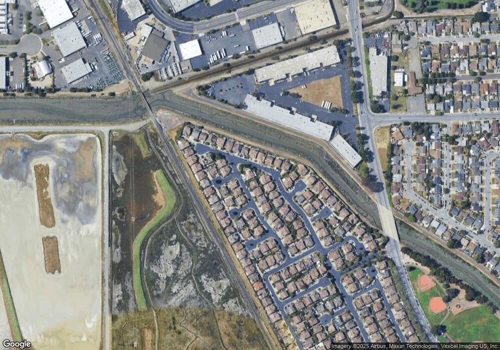
Map
Nearby Homes
- 112 Santa Teresa
- 509 Santa Ynez
- 1875 Willow Ave
- 117 Santa Teresa
- 14617 Doolittle Dr
- 14587 Doolittle Dr
- 1315 Mersey Ave
- 154 Santa Teresa
- 2213 Wigeon Ct
- 14666 Wiley St
- 14512 Trinidad Rd
- 362 Santa Paula
- 15102 Chapel Ct
- 1803 Cedar Ave
- 2444 Belvedere Ave
- 2262 Bermuda Ave
- 14075 Doolittle Dr
- 2515 Galleon Place Unit 129
- 15067 Churchill St
- 1950 Randy St
- 15126 Flying Mist Rd
- 15129 Shining Star Ln
- 15123 Flying Mist Rd
- 15118 Shining Star Ln
- 15100 Flying Mist Rd
- 15120 Shining Star Ln
- 15116 Shining Star Ln
- 15128 Flying Mist Rd
- 15125 Flying Mist Rd
- 15122 Shining Star Ln
- 15112 Shining Star Ln
- 15131 Shining Star Ln
- 15127 Flying Mist Rd
- 2022 Mayflower Place
- 15109 Shining Star Ln
- 15130 Flying Mist Rd
- 15126 Shining Star Ln
- 2025 Mayflower Place
- 15110 Shining Star Ln
- 2025 Seaspray Ct