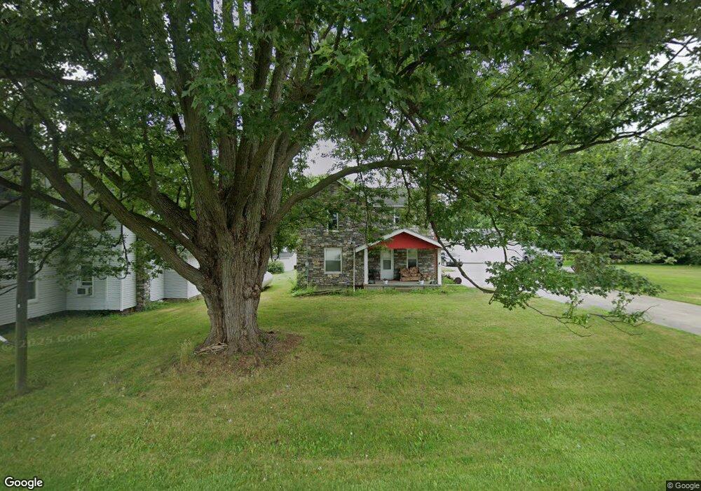
15123 Us Highway 20 Wauseon, OH 43567
Estimated Value: $168,000 - $214,000
3
Beds
1
Bath
1,148
Sq Ft
$163/Sq Ft
Est. Value
About This Home
This home is located at 15123 Us Highway 20, Wauseon, OH 43567 and is currently estimated at $186,853, approximately $162 per square foot. 15123 Us Highway 20 is a home located in Fulton County with nearby schools including Evergreen Elementary School, Evergreen Middle School, and Evergreen High School.
Ownership History
Date
Name
Owned For
Owner Type
Purchase Details
Closed on
May 6, 2022
Sold by
Sy Champada
Bought by
Lindsay Michael and Lindsay Anitra
Current Estimated Value
Purchase Details
Closed on
Jan 1, 1990
Bought by
Champada Sy and Champada Ae
Create a Home Valuation Report for This Property
The Home Valuation Report is an in-depth analysis detailing your home's value as well as a comparison with similar homes in the area
Home Values in the Area
Average Home Value in this Area
Purchase History
| Date | Buyer | Sale Price | Title Company |
|---|---|---|---|
| Lindsay Michael | -- | Byas Law Office Ltd | |
| Champada Sy | -- | -- |
Source: Public Records
Tax History Compared to Growth
Tax History
| Year | Tax Paid | Tax Assessment Tax Assessment Total Assessment is a certain percentage of the fair market value that is determined by local assessors to be the total taxable value of land and additions on the property. | Land | Improvement |
|---|---|---|---|---|
| 2024 | $1,575 | $43,620 | $15,790 | $27,830 |
| 2023 | $1,575 | $43,620 | $15,790 | $27,830 |
| 2022 | $1,685 | $37,350 | $13,160 | $24,190 |
| 2021 | $1,681 | $37,350 | $13,160 | $24,190 |
| 2020 | $1,658 | $37,350 | $13,160 | $24,190 |
| 2019 | $1,582 | $36,650 | $11,520 | $25,130 |
| 2018 | $812 | $36,650 | $11,520 | $25,130 |
| 2017 | $1,593 | $36,650 | $11,520 | $25,130 |
| 2016 | $1,392 | $32,630 | $11,520 | $21,110 |
| 2015 | $1,288 | $32,630 | $11,520 | $21,110 |
| 2014 | $1,266 | $32,630 | $11,520 | $21,110 |
| 2013 | $1,363 | $32,480 | $8,820 | $23,660 |
Source: Public Records
Map
Nearby Homes
- 14640 County Road K
- 16099 Us Highway 20
- 0 County Rd N
- 0 County Road L
- 12538 County Rd N
- 13787 County Road L
- 10216 County Road 14
- 12500 County Road L
- 13890 Rice Hwy
- 10965 County Rd S
- 11715 County Road L
- 328 E Main St
- 402 Pearl St
- 511 E Main St
- 15383 County Road 19
- 128 E Lagrange St
- 221 N Summit St
- 313 W Morenci St
- 141 E Main St
- 507 Page St
- 15109 Us Highway 20
- 14016 County Road N Unit 15-1
- 15091 Us Highway 20
- 15161 Us Highway 20
- 14016 County Road 15-1
- 14023 County Road W Unit 15-1
- 15161 Us 20
- 14023 County Road 15 1
- 14036 County Road N Unit 15-1
- 15178 Us Highway 20
- 14046 County Road N Unit 15-1
- 15193 Us Highway 20
- 14071 County Road W Unit 15-1
- 13950 Railroad St
- 15039 Us Highway 20
- 15039 U S 20
- 15039 U S 20
- 15039 U S 20
- 15039 U S 20
- 13930 Railroad St