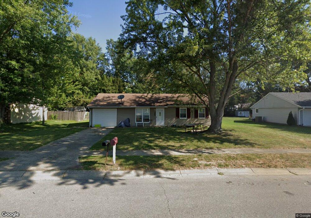
1513 Brookside Dr Columbus, IN 47201
Estimated Value: $114,000 - $207,000
3
Beds
1
Bath
1,026
Sq Ft
$161/Sq Ft
Est. Value
About This Home
This home is located at 1513 Brookside Dr, Columbus, IN 47201 and is currently estimated at $164,829, approximately $160 per square foot. 1513 Brookside Dr is a home located in Bartholomew County with nearby schools including Mount Healthy Elementary School, Central Middle School, and Columbus East High School.
Ownership History
Date
Name
Owned For
Owner Type
Purchase Details
Closed on
Jun 17, 2013
Sold by
Sec Development
Bought by
Davis Richard
Current Estimated Value
Purchase Details
Closed on
Aug 30, 2012
Sold by
Bank Of America
Bought by
Sec Development
Purchase Details
Closed on
Aug 14, 2012
Sold by
Sheriff Gorbett
Bought by
Bank N A
Purchase Details
Closed on
Aug 3, 1998
Sold by
Simo Eric S and Simo Lori A
Bought by
Phelps Charles D
Create a Home Valuation Report for This Property
The Home Valuation Report is an in-depth analysis detailing your home's value as well as a comparison with similar homes in the area
Home Values in the Area
Average Home Value in this Area
Purchase History
| Date | Buyer | Sale Price | Title Company |
|---|---|---|---|
| Davis Richard | $28,500 | -- | |
| Bank Of America | $28,500 | -- | |
| Richard | $28,500 | Hocker & Associates | |
| Sec Development | $150,248 | -- | |
| Bank N A | $150,248 | -- | |
| Phelps Charles D | $79,000 | -- |
Source: Public Records
Tax History
| Year | Tax Paid | Tax Assessment Tax Assessment Total Assessment is a certain percentage of the fair market value that is determined by local assessors to be the total taxable value of land and additions on the property. | Land | Improvement |
|---|---|---|---|---|
| 2025 | $2,564 | $114,000 | $31,800 | $82,200 |
| 2024 | $2,193 | $114,000 | $32,800 | $81,200 |
| 2023 | $2,193 | $96,600 | $31,300 | $65,300 |
| 2022 | $2,694 | $119,000 | $40,100 | $78,900 |
| 2021 | $2,549 | $111,600 | $27,000 | $84,600 |
| 2020 | $2,253 | $98,800 | $27,000 | $71,800 |
| 2019 | $2,000 | $92,400 | $27,000 | $65,400 |
| 2018 | $2,296 | $91,100 | $27,000 | $64,100 |
| 2017 | $1,924 | $87,000 | $24,500 | $62,500 |
| 2016 | $1,924 | $87,400 | $24,500 | $62,900 |
| 2014 | $699 | $86,000 | $24,500 | $61,500 |
Source: Public Records
Map
Nearby Homes
- 1615 Thresher Dr
- 3850 S 150 W
- 448 Dawson St
- 2216 Creek Bank Dr
- 141 Dawson St
- 2017 Shadow Creek Blvd
- 1994 Shadow Creek Blvd
- 2402 Creekland Dr
- 2561 Creek Bank Dr
- 1922 Lakecrest Dr
- 2566 Creek Bank Dr
- 2363 Shadow Bend Dr
- 2621 Creek Bank Dr
- 3244 Rolling Hill Dr
- 234 Lincoln St
- 3220 Lakestream Dr
- 3073 Creekridge Ct
- 3415 Parkview Dr
- 2125 Lakecrest Dr
- 2369 Orchard Creek Dr
- 1533 Brookside Dr
- 1463 Brookside Dr
- 1553 Brookside Dr
- 1453 Brookside Dr
- 1504 Brookside Dr
- 1524 Brookside Dr
- 5026 Finchbrook Dr
- 5018 Finchbrook Dr
- 1544 Brookside Dr
- 1563 Brookside Dr
- 1454 Brookside Dr
- 5010 Finchbrook Dr
- 1443 Brookside Dr
- 5034 Finchbrook Dr
- 1564 Brookside Dr
- 1665 Thresher Dr
- 1532 Brookside Ct N
- 1645 Thresher Dr
- 1444 Brookside Dr
- 1573 Brookside Dr
Your Personal Tour Guide
Ask me questions while you tour the home.