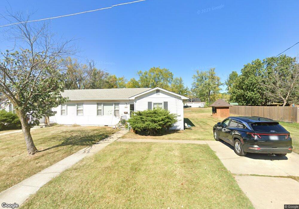
1513 Lowe St Unit 1515 Columbia, MO 65203
Estimated Value: $217,150 - $276,000
4
Beds
2
Baths
1,652
Sq Ft
$146/Sq Ft
Est. Value
About This Home
This home is located at 1513 Lowe St Unit 1515, Columbia, MO 65203 and is currently estimated at $241,038, approximately $145 per square foot. 1513 Lowe St Unit 1515 is a home located in Boone County with nearby schools including West Boulevard Elementary School, West Middle School, and David H. Hickman High School.
Ownership History
Date
Name
Owned For
Owner Type
Purchase Details
Closed on
Jan 23, 2024
Sold by
Bozarth Ann and Bozarth John V
Bought by
Ray & Lee Llc
Current Estimated Value
Purchase Details
Closed on
Jul 21, 2021
Sold by
Freese Properties Rental Llc
Bought by
Simmons Wealth Management
Purchase Details
Closed on
Jan 23, 2015
Sold by
Landmark Bank Na
Bought by
Raymond W Freese Residual Trust and Landmark Bank Na
Create a Home Valuation Report for This Property
The Home Valuation Report is an in-depth analysis detailing your home's value as well as a comparison with similar homes in the area
Home Values in the Area
Average Home Value in this Area
Purchase History
| Date | Buyer | Sale Price | Title Company |
|---|---|---|---|
| Ray & Lee Llc | -- | None Listed On Document | |
| Bozarth Ann | -- | None Listed On Document | |
| Simmons Wealth Management | -- | None Available | |
| Raymond W Freese Residual Trust | -- | None Available |
Source: Public Records
Tax History Compared to Growth
Tax History
| Year | Tax Paid | Tax Assessment Tax Assessment Total Assessment is a certain percentage of the fair market value that is determined by local assessors to be the total taxable value of land and additions on the property. | Land | Improvement |
|---|---|---|---|---|
| 2025 | $1,483 | $22,648 | $3,382 | $19,266 |
| 2024 | $1,389 | $20,596 | $3,382 | $17,214 |
| 2023 | $1,378 | $20,596 | $3,382 | $17,214 |
| 2022 | $1,275 | $19,076 | $3,382 | $15,694 |
| 2021 | $1,277 | $19,076 | $3,382 | $15,694 |
| 2020 | $1,214 | $17,031 | $3,382 | $13,649 |
| 2019 | $1,214 | $17,031 | $3,382 | $13,649 |
| 2018 | $1,132 | $0 | $0 | $0 |
| 2017 | $1,118 | $15,770 | $3,382 | $12,388 |
| 2016 | $1,148 | $15,770 | $3,382 | $12,388 |
| 2015 | $1,059 | $15,770 | $3,382 | $12,388 |
| 2014 | -- | $15,770 | $3,382 | $12,388 |
Source: Public Records
Map
Nearby Homes
- 1304 W Worley St
- 1301 W Ash St
- 1208 London Dr
- 1609 W Broadway
- 4 Rockingham Dr
- 20 Clinton Dr
- 213 Longfellow Ln
- 301 Crown Point
- 211 Bourn Ave
- 709 Mikel St
- 812 W Broadway
- 701 703 & 707 Mikel Rd
- 1108 W Stewart Rd
- 502 W Worley St
- 605 Jackson St
- 705 Westridge Dr
- 401 W Worley St
- 2801 W Broadway Unit A1
- 2515 Braemore Rd
- 1007 Jefferson St
- 1509 Lowe St
- 300-302 Clinkscales Rd
- 300 Clinkscales Rd Unit 302
- 300 Clinkscales Rd
- 217 Ruby Ln
- 1507 Lowe St
- 304 Clinkscales Rd
- 214 Clinkscales Rd
- 215 Ruby Ln
- 1505 Lowe St
- 306 Clinkscales Rd Unit 308
- 306+308 Clinkscales
- 212 Clinkscales Rd
- 1504 Lowe St
- 213 Ruby Ln
- 1503 Lowe St
- 400 Clinkscales Rd
- 401 Lindy Ln
- 210 Clinkscales Rd
- 1502 Lowe St