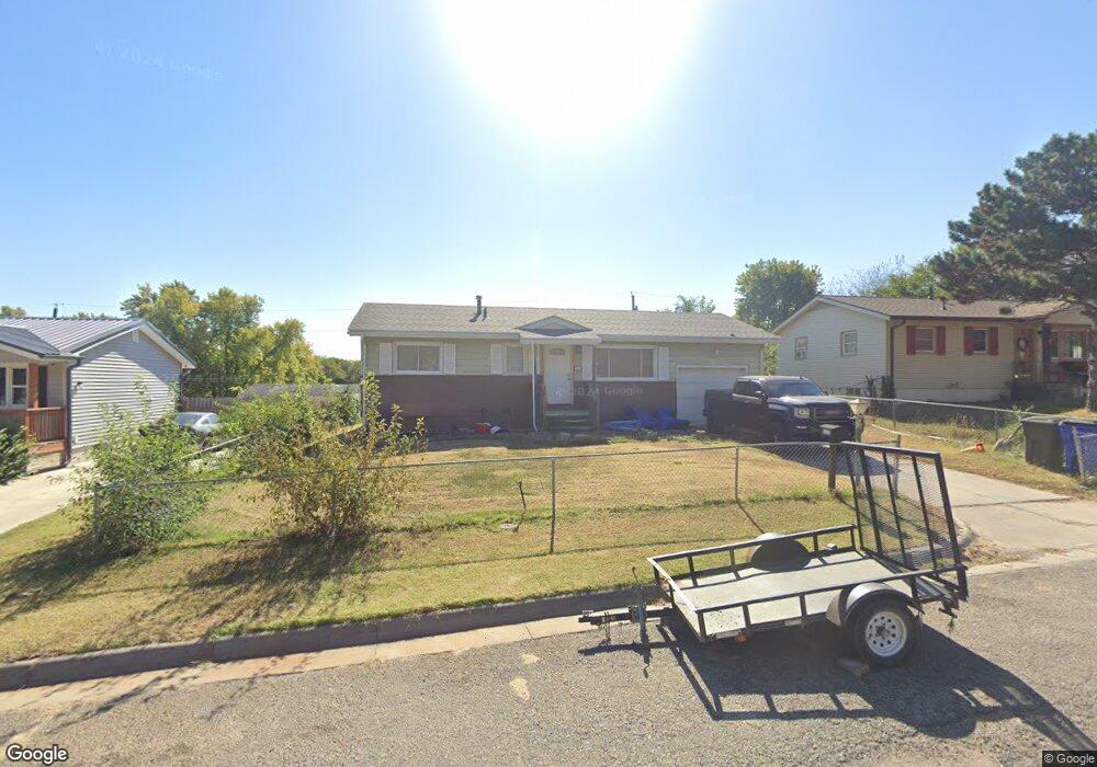
1513 W 15th St Junction City, KS 66441
Estimated Value: $127,000 - $140,000
3
Beds
2
Baths
816
Sq Ft
$165/Sq Ft
Est. Value
About This Home
This home is located at 1513 W 15th St, Junction City, KS 66441 and is currently estimated at $134,416, approximately $164 per square foot. 1513 W 15th St is a home with nearby schools including Westwood Elementary School, Junction City Middle School, and Junction City Senior High School.
Ownership History
Date
Name
Owned For
Owner Type
Purchase Details
Closed on
Nov 21, 2024
Sold by
Whiting Place Llc
Bought by
Edwards Darrell
Current Estimated Value
Home Financials for this Owner
Home Financials are based on the most recent Mortgage that was taken out on this home.
Original Mortgage
$35,775
Outstanding Balance
$32,322
Interest Rate
6.54%
Mortgage Type
New Conventional
Estimated Equity
$102,094
Create a Home Valuation Report for This Property
The Home Valuation Report is an in-depth analysis detailing your home's value as well as a comparison with similar homes in the area
Home Values in the Area
Average Home Value in this Area
Purchase History
| Date | Buyer | Sale Price | Title Company |
|---|---|---|---|
| Edwards Darrell | -- | Junction City Abstract Title | |
| Edwards Darrell | -- | Junction City Abstract Title |
Source: Public Records
Mortgage History
| Date | Status | Borrower | Loan Amount |
|---|---|---|---|
| Open | Edwards Darrell | $35,775 | |
| Closed | Edwards Darrell | $35,775 |
Source: Public Records
Tax History Compared to Growth
Tax History
| Year | Tax Paid | Tax Assessment Tax Assessment Total Assessment is a certain percentage of the fair market value that is determined by local assessors to be the total taxable value of land and additions on the property. | Land | Improvement |
|---|---|---|---|---|
| 2025 | $2,210 | $16,086 | $1,306 | $14,780 |
| 2024 | $2,007 | $15,034 | $1,249 | $13,785 |
| 2023 | $2,089 | $14,456 | $1,173 | $13,283 |
| 2022 | $0 | $14,065 | $1,116 | $12,949 |
| 2021 | $0 | $11,601 | $1,049 | $10,552 |
| 2020 | $1,785 | $11,155 | $1,058 | $10,097 |
| 2019 | $1,767 | $11,030 | $842 | $10,188 |
| 2018 | $1,678 | $10,534 | $842 | $9,692 |
| 2017 | $1,688 | $10,500 | $1,040 | $9,460 |
| 2016 | $1,808 | $11,120 | $867 | $10,253 |
| 2015 | $1,734 | $11,110 | $639 | $10,471 |
| 2014 | $1,232 | $8,326 | $903 | $7,423 |
Source: Public Records
Map
Nearby Homes
- 1409 W 14th St
- 1505 Dean Ave
- 1807 W 17th St
- 1309 Hale Dr
- 1904 Davis Dr
- 1504 Thompson Dr
- 1202 W 12th St
- 1906 Ehlers Ct
- 1119 Fair St
- 2117 Thompson Dr
- 1412 Rucker Rd
- 0000 Rucker Rd
- 1129 W 20th Cir
- 1703 Lydia Ln
- 2007 Quail Run
- 811 W 13th St
- 0000 Us Highway 77
- 2003 Brooke Bend
- 823 W 11th St
- 705 N Eisenhower Dr
- 1517 W 15th St
- 1509 W 15th St
- 1521 W 15th St
- 1514 W 15th St
- 1518 W 15th St
- 1418 W 14th St
- 1505 W 15th St
- 1422 W 14th St
- 1414 W 14th St
- 1510 W 15th St
- 1426 W 14th St
- 1506 W 15th St
- 1410 W 14th St
- 1501 W 15th St
- 1513 Bel Air Dr
- 1405 W 15th St
- 1430 W 14th St
- 1502 W 15th St
- 1509 Bel Air Dr
- 1605 Bel Air Dr