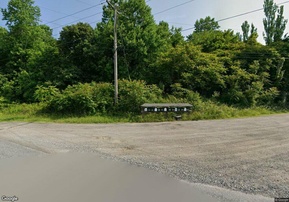
15130 Nelson Perrie Rd Brandywine, MD 20613
Estimated Value: $947,000 - $1,020,018
--
Bed
2
Baths
3,558
Sq Ft
$276/Sq Ft
Est. Value
About This Home
This home is located at 15130 Nelson Perrie Rd, Brandywine, MD 20613 and is currently estimated at $983,509, approximately $276 per square foot. 15130 Nelson Perrie Rd is a home located in Prince George's County with nearby schools including Baden Elementary School, Gwynn Park Middle School, and Gwynn Park High School.
Ownership History
Date
Name
Owned For
Owner Type
Purchase Details
Closed on
Jul 8, 2011
Sold by
Cusic Margaret Elizabeth
Bought by
Fluhart Daniel H and Fluhart Nicole A
Current Estimated Value
Purchase Details
Closed on
May 16, 2011
Sold by
Cusic Richard J and Cusic Margaret R
Bought by
Richards Nancy W
Create a Home Valuation Report for This Property
The Home Valuation Report is an in-depth analysis detailing your home's value as well as a comparison with similar homes in the area
Home Values in the Area
Average Home Value in this Area
Purchase History
| Date | Buyer | Sale Price | Title Company |
|---|---|---|---|
| Fluhart Daniel H | $100,000 | Lakeside Title Company | |
| Richards Nancy W | -- | -- |
Source: Public Records
Tax History Compared to Growth
Tax History
| Year | Tax Paid | Tax Assessment Tax Assessment Total Assessment is a certain percentage of the fair market value that is determined by local assessors to be the total taxable value of land and additions on the property. | Land | Improvement |
|---|---|---|---|---|
| 2025 | $10,216 | $848,300 | $82,500 | $765,800 |
| 2024 | $10,216 | $795,267 | $0 | $0 |
| 2023 | $8,254 | $742,233 | $0 | $0 |
| 2022 | $8,853 | $689,200 | $82,500 | $606,700 |
| 2021 | $8,513 | $662,667 | $0 | $0 |
| 2020 | $8,172 | $636,133 | $0 | $0 |
| 2019 | $7,831 | $609,600 | $82,500 | $527,100 |
| 2018 | $7,127 | $554,767 | $0 | $0 |
| 2017 | $6,422 | $499,933 | $0 | $0 |
| 2016 | -- | $445,100 | $0 | $0 |
| 2015 | -- | $435,000 | $0 | $0 |
| 2014 | -- | $424,900 | $0 | $0 |
Source: Public Records
Map
Nearby Homes
- 15551 Brooks Church Rd
- 13245 Croom Rd
- 0 Croom Rd
- 15690 Nelson Perrie Rd
- 15226 Croom Rd
- 13710 Baden Naylor Rd
- 15900 Bald Eagle School Rd
- 15729 Cheswicke Ln
- 13716 Molly Berry Rd
- Parcel 36 Tanyard Rd
- 00000 Candy Hill Rd
- 16400 Tanyard Rd
- 13729 Martin Rd
- 15602 Bennington Farms Ln
- 16600 Bald Eagle School Rd
- 13605 Martin Rd
- 0 Baden Westwood Rd Unit MDPG2183820
- 16661 Bald Eagle School Rd
- 12223 Molly Berry Rd
- 16031 Letcher Rd E
- 15128 Nelson Perrie Rd
- 15126 Nelson Perrie Rd
- 15124 Nelson Perrie Rd
- 15120 Nelson Perrie Rd
- 15132 Nelson Perrie Rd
- 15621 Brooks Church Rd
- 15136 Nelson Perrie Rd
- 15140 Nelson Perrie Rd
- 15114 Nelson Perrie Rd
- 15118 Nelson Perrie Rd
- 14700 Baden Naylor Rd
- 15100 Nelson Perrie Rd
- 15150 Nelson Perrie Rd
- 15200 Nelson Perrie Rd
- 15110 Nelson Perrie Rd
- 15000 Nelson Perrie Rd
- 14000 Baden Naylor Rd
- 14450 Molly Berry Rd
- 15101 Nelson Perrie Rd
- 14201 Baden Naylor Rd
