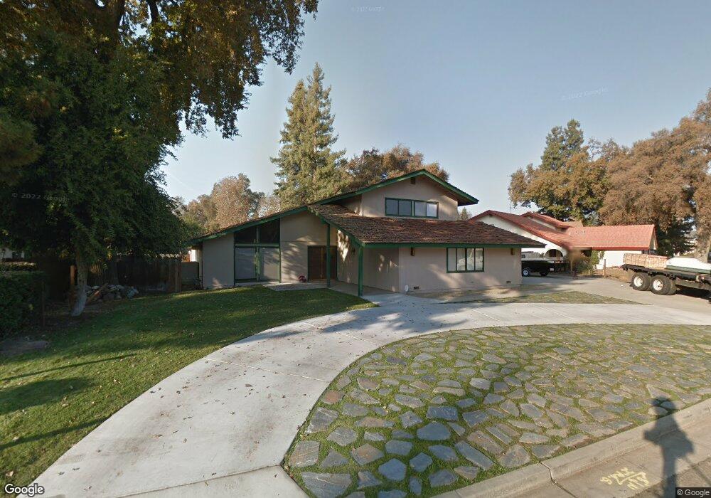
15138 Oak Ranch Dr Visalia, CA 93292
Estimated Value: $563,811 - $623,000
4
Beds
3
Baths
2,526
Sq Ft
$233/Sq Ft
Est. Value
About This Home
This home is located at 15138 Oak Ranch Dr, Visalia, CA 93292 and is currently estimated at $588,453, approximately $232 per square foot. 15138 Oak Ranch Dr is a home located in Tulare County with nearby schools including Elbow Creek Elementary School, Valley Oak Middle School, and Golden West High School.
Ownership History
Date
Name
Owned For
Owner Type
Purchase Details
Closed on
Feb 18, 2021
Sold by
Paim Michael A
Bought by
Paim Michael A and Paim Amy
Current Estimated Value
Purchase Details
Closed on
May 18, 2017
Sold by
Paim Michael A
Bought by
Paim Michael A
Purchase Details
Closed on
Feb 23, 2017
Sold by
Paim Michael A
Bought by
Paim Michael A
Purchase Details
Closed on
Apr 15, 2011
Sold by
Enos Stephen C
Bought by
Paim Michael A and Paim Amber D
Purchase Details
Closed on
Mar 31, 2011
Sold by
Enos Stephen C
Bought by
Enos Stephen C and Stephen C Enos Revocable Trust
Purchase Details
Closed on
Feb 25, 2011
Sold by
Enos Stephen C
Bought by
Enos Stephen C
Create a Home Valuation Report for This Property
The Home Valuation Report is an in-depth analysis detailing your home's value as well as a comparison with similar homes in the area
Purchase History
| Date | Buyer | Sale Price | Title Company |
|---|---|---|---|
| Paim Michael A | -- | None Available | |
| Paim Michael A | -- | None Available | |
| Paim Michael A | -- | None Available | |
| Paim Michael A | $21,500 | Chicago Title Company | |
| Enos Stephen C | -- | None Available | |
| Enos Stephen C | -- | None Available |
Source: Public Records
Tax History
| Year | Tax Paid | Tax Assessment Tax Assessment Total Assessment is a certain percentage of the fair market value that is determined by local assessors to be the total taxable value of land and additions on the property. | Land | Improvement |
|---|---|---|---|---|
| 2025 | $2,876 | $272,888 | $51,245 | $221,643 |
| 2024 | $2,876 | $267,539 | $50,241 | $217,298 |
| 2023 | $2,797 | $262,294 | $49,256 | $213,038 |
| 2022 | $2,672 | $257,152 | $48,291 | $208,861 |
| 2021 | $2,676 | $252,110 | $47,344 | $204,766 |
| 2020 | $2,657 | $249,525 | $46,859 | $202,666 |
| 2019 | $2,577 | $244,632 | $45,940 | $198,692 |
| 2018 | $2,516 | $239,835 | $45,039 | $194,796 |
| 2017 | $2,486 | $235,132 | $44,156 | $190,976 |
| 2016 | $2,443 | $230,521 | $43,290 | $187,231 |
| 2015 | $2,373 | $227,059 | $42,640 | $184,419 |
| 2014 | $2,373 | $222,611 | $41,805 | $180,806 |
Source: Public Records
Map
Nearby Homes
- 14995 Avenue 313
- 14912 Lipson Ave
- 14892 Lipson Ave
- 4106 E Oakridge Ave
- 4109 E Oakridge Ave
- 2020 N Sol St
- 4044 E Oakridge Ave
- 4224 E Magnolia St
- 4216 E Magnolia St
- 4100 E Oakridge Ave
- 4033 E Oakridge Ave
- 4025 E Oakridge Ave
- 4036 E Oakridge Ave
- 4017 E Oakridge Ave
- 4105 E Sunnyview Ave
- 4009 E Oakridge Ave
- 4203 E Magnolia St
- 4144 E Magnolia Ave
- 1646 N Arroyo Ct
- 4101 E Magnolia Ave
- 15152 Oak Ranch Dr
- 15114 Oak Ranch Dr
- 15115 Avenue 312
- 15168 Oak Ranch Dr
- 15100 Oak Ranch Dr
- 15105 Avenue 312
- 31159 Mountain View St
- 15127 Oak Ranch Dr
- 15121 Oak Ranch Dr
- 15125 Avenue 312
- 15182 Oak Ranch Dr
- 15163 Oak Ranch Dr
- 15088 Oak Ranch Dr
- 15111 Oak Ranch Dr
- 15095 Avenue 312
- 15171 Oak Ranch Dr
- 15105 Oak Ranch Dr
- 31133 Mountain View St
- 15200 Oak Ranch Dr
- 31144 Mountain View St
Your Personal Tour Guide
Ask me questions while you tour the home.