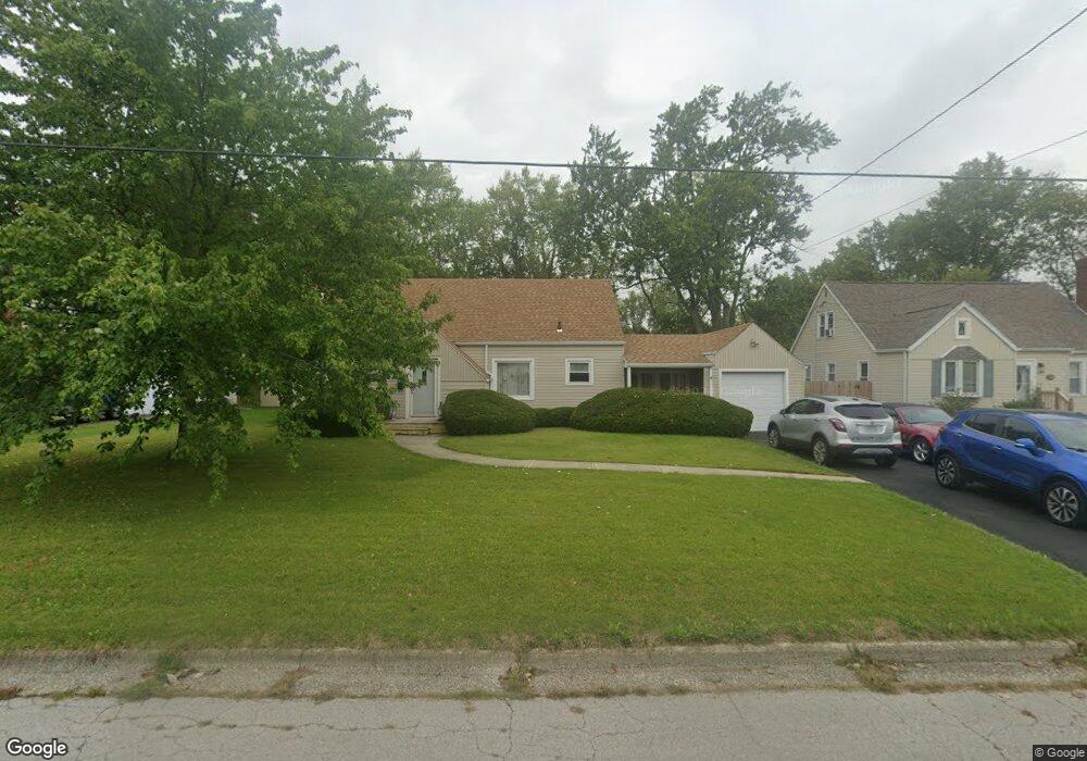
1514 Leland Ave Lima, OH 45805
Westgate NeighborhoodEstimated Value: $153,473 - $170,000
3
Beds
1
Bath
1,316
Sq Ft
$123/Sq Ft
Est. Value
About This Home
This home is located at 1514 Leland Ave, Lima, OH 45805 and is currently estimated at $161,868, approximately $123 per square foot. 1514 Leland Ave is a home located in Allen County with nearby schools including Heritage Elementary School, Lima West Middle School, and Lima North Middle School.
Ownership History
Date
Name
Owned For
Owner Type
Purchase Details
Closed on
Jun 25, 1999
Sold by
Hastings William
Bought by
Nanson Gregg and Nanson Georgena
Current Estimated Value
Home Financials for this Owner
Home Financials are based on the most recent Mortgage that was taken out on this home.
Original Mortgage
$55,000
Interest Rate
7.15%
Mortgage Type
Balloon
Purchase Details
Closed on
May 5, 1995
Sold by
Cochran Doris
Bought by
Long Richard and Long Christy
Home Financials for this Owner
Home Financials are based on the most recent Mortgage that was taken out on this home.
Original Mortgage
$58,710
Interest Rate
9%
Mortgage Type
VA
Purchase Details
Closed on
Jan 1, 1990
Bought by
Cochran Doris L
Create a Home Valuation Report for This Property
The Home Valuation Report is an in-depth analysis detailing your home's value as well as a comparison with similar homes in the area
Home Values in the Area
Average Home Value in this Area
Purchase History
| Date | Buyer | Sale Price | Title Company |
|---|---|---|---|
| Nanson Gregg | $77,500 | -- | |
| Long Richard | $57,000 | -- | |
| Cochran Doris L | -- | -- |
Source: Public Records
Mortgage History
| Date | Status | Borrower | Loan Amount |
|---|---|---|---|
| Closed | Nanson Gregg | $55,000 | |
| Previous Owner | Long Richard | $58,710 |
Source: Public Records
Tax History Compared to Growth
Tax History
| Year | Tax Paid | Tax Assessment Tax Assessment Total Assessment is a certain percentage of the fair market value that is determined by local assessors to be the total taxable value of land and additions on the property. | Land | Improvement |
|---|---|---|---|---|
| 2024 | $1,577 | $44,100 | $7,770 | $36,330 |
| 2023 | $1,466 | $35,570 | $6,270 | $29,300 |
| 2022 | $1,474 | $35,570 | $6,270 | $29,300 |
| 2021 | $1,517 | $34,480 | $6,270 | $28,210 |
| 2020 | $1,262 | $25,170 | $5,920 | $19,250 |
| 2019 | $1,262 | $25,170 | $5,920 | $19,250 |
| 2018 | $1,250 | $25,170 | $5,920 | $19,250 |
| 2017 | $1,135 | $22,410 | $5,920 | $16,490 |
| 2016 | $1,145 | $22,410 | $5,920 | $16,490 |
| 2015 | $1,288 | $22,410 | $5,920 | $16,490 |
| 2014 | $1,288 | $25,060 | $6,020 | $19,040 |
| 2013 | $1,252 | $25,060 | $6,020 | $19,040 |
Source: Public Records
Map
Nearby Homes
- 621 Fairfield Dr
- 1517 Allentown Rd
- 1206 Rice Ave
- 1719 Latham Ave
- 1703 W Wayne St
- 1120 Richie Ave
- 918 Cornell Dr
- 1023 Leland Ave
- 1753 Leland Ave
- 2100 University Blvd
- 1459 W Market St
- 1630 W Market St
- 109 N Pears Ave
- 120 S Woodlawn Ave
- 0 Sherman Ave
- 102 Charwood Dr
- 1036 W High St
- 858 Mackenzie Dr
- 618 Woodward Ave
- 1113 Crestwood Dr