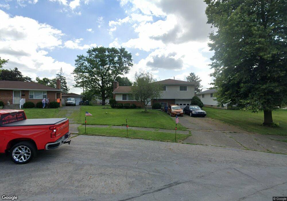
1514 Matthias Dr Columbus, OH 43224
Clinton Estates NeighborhoodEstimated Value: $253,169 - $312,000
3
Beds
3
Baths
1,174
Sq Ft
$237/Sq Ft
Est. Value
About This Home
This home is located at 1514 Matthias Dr, Columbus, OH 43224 and is currently estimated at $278,042, approximately $236 per square foot. 1514 Matthias Dr is a home located in Franklin County with nearby schools including Maize Road Elementary School, Medina Middle School, and Mifflin High School.
Ownership History
Date
Name
Owned For
Owner Type
Purchase Details
Closed on
Feb 11, 2011
Sold by
Adkins Linda Lou and Roche Sharon S
Bought by
Weese John W and Weese Gloria Jean
Current Estimated Value
Purchase Details
Closed on
Oct 8, 2008
Sold by
Weese John W and Weese Gloria Jean
Bought by
Weese John W and Weese Gloria Jean
Purchase Details
Closed on
Dec 19, 1988
Bought by
Weese John W and Weese Gloria J
Create a Home Valuation Report for This Property
The Home Valuation Report is an in-depth analysis detailing your home's value as well as a comparison with similar homes in the area
Home Values in the Area
Average Home Value in this Area
Purchase History
| Date | Buyer | Sale Price | Title Company |
|---|---|---|---|
| Weese John W | $94,000 | Talon Group | |
| Weese John W | -- | None Available | |
| Weese John W | $69,900 | -- |
Source: Public Records
Tax History Compared to Growth
Tax History
| Year | Tax Paid | Tax Assessment Tax Assessment Total Assessment is a certain percentage of the fair market value that is determined by local assessors to be the total taxable value of land and additions on the property. | Land | Improvement |
|---|---|---|---|---|
| 2024 | $3,365 | $74,980 | $21,180 | $53,800 |
| 2023 | $3,322 | $74,980 | $21,180 | $53,800 |
| 2022 | $2,464 | $47,500 | $7,000 | $40,500 |
| 2021 | $2,468 | $47,500 | $7,000 | $40,500 |
| 2020 | $2,471 | $47,500 | $7,000 | $40,500 |
| 2019 | $2,336 | $38,500 | $5,600 | $32,900 |
| 2018 | $1,165 | $38,500 | $5,600 | $32,900 |
| 2017 | $2,334 | $38,500 | $5,600 | $32,900 |
| 2016 | $2,372 | $35,810 | $6,690 | $29,120 |
| 2015 | $1,077 | $35,810 | $6,690 | $29,120 |
| 2014 | $2,159 | $35,810 | $6,690 | $29,120 |
| 2013 | $1,121 | $37,695 | $7,035 | $30,660 |
Source: Public Records
Map
Nearby Homes
- 4143 Karl Rd Unit 314
- 4145 Karl Rd Unit 223
- 4455 Kenfield Rd
- 4119 Karl Rd Unit 108
- 4057 Estates Place
- 3967 Karl Rd Unit 125
- 3965 Karl Rd Unit 208
- 3941 Karl Rd Unit 326
- 3939 Karl Rd Unit 108
- 1191 Bryson Rd
- 1734 Ferris Rd
- 1266 Pershing Dr
- 1440 E Cooke Rd
- 1130 Carbone Dr
- 4441 Wetmore Rd E
- 1863 Ward Rd
- 1496 E Cooke Rd
- 4761 Colonel Perry Dr
- 4791 Bourke Rd
- 4800 Bourke Rd
- 1516 Matthias Dr
- 1512 Matthias Dr
- 4293 Karl Rd
- 4285 Karl Rd
- 1518 Matthias Dr
- 1510 Matthias Dr
- 4275 Karl Rd
- 4311 Karl Rd
- 1509 Matthias Dr
- 1502 Matthias Dr
- 1514 Evaline Dr
- 4319 Karl Rd
- 1533 Shanley Dr
- 1529 Shanley Dr
- 1519 Matthias Dr
- 1530 Evaline Dr
- 1493 Matthias Dr
- 1515 Shanley Dr
- 1494 Matthias Dr
- 1545 Shanley Dr