15141 Mitchell Mine Rd Pine Grove, CA 95665
Estimated Value: $366,000 - $513,000
3
Beds
2
Baths
1,265
Sq Ft
$325/Sq Ft
Est. Value
About This Home
This home is located at 15141 Mitchell Mine Rd, Pine Grove, CA 95665 and is currently estimated at $411,258, approximately $325 per square foot. 15141 Mitchell Mine Rd is a home located in Amador County with nearby schools including Sutter Creek Elementary School, Ione Junior High School, and Amador High School.
Ownership History
Date
Name
Owned For
Owner Type
Purchase Details
Closed on
Nov 12, 2015
Sold by
Ousby Patrick D and Ousby Trisha A
Bought by
Barnhill Charles A
Current Estimated Value
Home Financials for this Owner
Home Financials are based on the most recent Mortgage that was taken out on this home.
Original Mortgage
$251,750
Outstanding Balance
$197,474
Interest Rate
3.71%
Mortgage Type
VA
Estimated Equity
$213,784
Purchase Details
Closed on
Mar 31, 2009
Sold by
Ousby Patrick D and Ousby Trisha A
Bought by
Ousby Patrick D and Ousby Trisha A
Purchase Details
Closed on
Oct 10, 2006
Sold by
Ousby Patrick D
Bought by
Ousby Patrick D and Ousby Trisha A
Home Financials for this Owner
Home Financials are based on the most recent Mortgage that was taken out on this home.
Original Mortgage
$270,000
Interest Rate
6.44%
Mortgage Type
New Conventional
Purchase Details
Closed on
Sep 27, 2005
Sold by
Ousby Patrick D and Ousby Trisha A
Bought by
Ousby Patrick D and Ousby Trisha A
Purchase Details
Closed on
Jan 3, 2005
Sold by
Lupton Thomas B and Lupton Deborah A
Bought by
Ousby Patrick D and Lupton Trisha A
Home Financials for this Owner
Home Financials are based on the most recent Mortgage that was taken out on this home.
Original Mortgage
$48,000
Interest Rate
5.7%
Mortgage Type
Seller Take Back
Create a Home Valuation Report for This Property
The Home Valuation Report is an in-depth analysis detailing your home's value as well as a comparison with similar homes in the area
Purchase History
| Date | Buyer | Sale Price | Title Company |
|---|---|---|---|
| Barnhill Charles A | $265,000 | Western Land Title Co Inc | |
| Barnhill Charles A | -- | Western Land Title Co Inc | |
| Ousby Patrick D | -- | None Available | |
| Ousby Patrick D | -- | Western Land Title Co | |
| Ousby Patrick D | -- | Western Land Title Co | |
| Ousby Patrick D | -- | Western Land Title Co | |
| Ousby Patrick D | $58,500 | Western Land Title Co |
Source: Public Records
Mortgage History
| Date | Status | Borrower | Loan Amount |
|---|---|---|---|
| Open | Barnhill Charles A | $251,750 | |
| Previous Owner | Ousby Patrick D | $270,000 | |
| Previous Owner | Ousby Patrick D | $48,000 |
Source: Public Records
Tax History
| Year | Tax Paid | Tax Assessment Tax Assessment Total Assessment is a certain percentage of the fair market value that is determined by local assessors to be the total taxable value of land and additions on the property. | Land | Improvement |
|---|---|---|---|---|
| 2025 | $3,223 | $313,698 | $71,024 | $242,674 |
| 2024 | $3,223 | $307,548 | $69,632 | $237,916 |
| 2023 | $3,159 | $301,518 | $68,267 | $233,251 |
| 2022 | $3,038 | $295,607 | $66,929 | $228,678 |
| 2021 | $2,980 | $289,812 | $65,617 | $224,195 |
| 2020 | $2,951 | $286,842 | $64,945 | $221,897 |
| 2019 | $2,893 | $281,219 | $63,672 | $217,547 |
| 2018 | $2,838 | $275,706 | $62,424 | $213,282 |
| 2017 | $2,783 | $270,300 | $61,200 | $209,100 |
| 2016 | $2,729 | $265,000 | $60,000 | $205,000 |
| 2015 | $2,613 | $253,435 | $44,976 | $208,459 |
| 2014 | $2,561 | $248,471 | $44,095 | $204,376 |
Source: Public Records
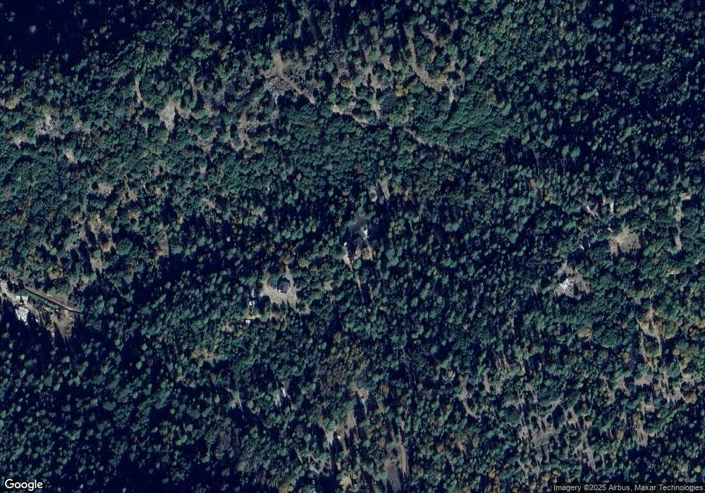
Map
Nearby Homes
- 20070 Tellurium Dr
- 19620 State Highway 88
- 14986 Margot Ln
- 14074 Irishtown Rd Unit 40
- 14074 Irishtown Rd Unit 12
- 21335 Consolation St
- 13851 Tank Ct
- 19475 Murphy Rd
- 13825 Pine View Dr
- 18871 Ponderosa Annex Rd
- 18640 Toyon Ct
- 20219 Ponderosa Trail
- 19934 Pitts Ct
- 20117 Neilson Rd
- 18488 Ponderosa Annex Rd
- 18777 Sugar Pine Dr S
- 14100 Greenleaf Ln
- 0 Old Giannini Ranch Rd
- 13331 Valley Vista Ct
- 12970 Spagnoli Mine Rd
- 19965 W Mitchell Mine Rd
- 20000 W Mitchell Mine Rd
- 20105 W Mitchell Mine Rd
- 15163 Mitchell Mine Rd
- 15314 Mitchell Mine Rd
- 15250 Mitchell Mine Rd
- 15221 Mitchell Mine Rd
- 19980 W Mitchell Mine Rd
- 19967 W Mitchell Mine Rd
- 15370 Mitchell Mine Rd
- 20040 W Mitchell Mine Rd
- 15344 Mitchell Mine Rd
- 20160 W Mitchell Mine Rd
- 15360 Mitchell Mine Rd
- 19920 W Mitchell Mine Rd
- 15010 Moonlight Ridge
- 15055 Mitchell Mine Rd
- 19940 W Mitchell Mine Rd
- 15075 Moonlight Ridge
- 20385 Wild Iris Ln
Your Personal Tour Guide
Ask me questions while you tour the home.