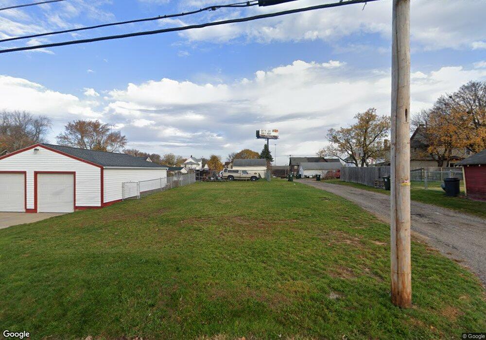
1515 10th St SW Canton, OH 44706
Southwest Canton NeighborhoodEstimated Value: $61,000 - $104,000
2
Beds
2
Baths
1,192
Sq Ft
$69/Sq Ft
Est. Value
About This Home
This home is located at 1515 10th St SW, Canton, OH 44706 and is currently estimated at $82,500, approximately $69 per square foot. 1515 10th St SW is a home located in Stark County with nearby schools including Early Learning Center @ Schreiber, Cedar Elementary School, and McGregor Elementary School.
Ownership History
Date
Name
Owned For
Owner Type
Purchase Details
Closed on
Jun 19, 2023
Sold by
Cairns Kevin S
Bought by
Cairns Family Irrevocable Trust
Current Estimated Value
Purchase Details
Closed on
Jan 24, 2019
Sold by
Stark County Land Reutilization Corporat
Bought by
Cairns Kevin S
Purchase Details
Closed on
Jul 9, 2018
Sold by
Stark County Land Reutilization Corpora
Bought by
Stark County Regional Planning Commissio
Purchase Details
Closed on
Jul 21, 2017
Sold by
Collins Howard S
Bought by
Stark County Land Reutilization Corp
Purchase Details
Closed on
Oct 6, 1988
Create a Home Valuation Report for This Property
The Home Valuation Report is an in-depth analysis detailing your home's value as well as a comparison with similar homes in the area
Home Values in the Area
Average Home Value in this Area
Purchase History
| Date | Buyer | Sale Price | Title Company |
|---|---|---|---|
| Cairns Family Irrevocable Trust | -- | None Listed On Document | |
| Cairns Kevin S | -- | None Available | |
| Stark County Regional Planning Commissio | -- | None Available | |
| Stark County Land Reutilization Corp | -- | None Available | |
| -- | $23,000 | -- |
Source: Public Records
Tax History Compared to Growth
Tax History
| Year | Tax Paid | Tax Assessment Tax Assessment Total Assessment is a certain percentage of the fair market value that is determined by local assessors to be the total taxable value of land and additions on the property. | Land | Improvement |
|---|---|---|---|---|
| 2025 | -- | $1,930 | $1,930 | -- |
| 2024 | -- | $1,930 | $1,930 | -- |
| 2023 | $60 | $950 | $950 | -- |
| 2022 | $56 | $950 | $950 | $0 |
| 2021 | $57 | $950 | $950 | $0 |
| 2020 | $51 | $770 | $770 | $0 |
| 2019 | $179 | $3,510 | $1,580 | $1,930 |
| 2018 | $0 | $3,510 | $1,580 | $1,930 |
| 2017 | $0 | $3,720 | $1,610 | $2,110 |
| 2016 | $162 | $5,040 | $1,610 | $3,430 |
| 2015 | $342 | $5,040 | $1,610 | $3,430 |
| 2014 | $385 | $5,610 | $1,790 | $3,820 |
| 2013 | $188 | $5,610 | $1,790 | $3,820 |
Source: Public Records
Map
Nearby Homes
- 1016 Clinton Ave SW
- 719 Prospect Ave SW
- 633 Park Ave SW
- 1215 Dueber Ave SW
- 1000 6th St SW
- 1021 Greenfield Ave SW
- 631 Greenfield Ave SW
- 1001 Harrison Ave SW
- 1227 Greenfield Ave SW
- 1356 Margaret Ave SW
- 1370 Lee Ct SW
- 1384 Stark Ave SW
- 202 Lincoln Ave NW
- 1009 Arlington Ave SW
- 2411 Strasser Place SW
- 241 Raymont Ct SW
- 306 Park Ave NW
- 2420 Clyde Place SW
- 413 Newton Ave NW
- 2319 Hursh Place NW
- 1515 10th St NW
- 938 Clinton Ave SW
- 928 Clinton Ave SW
- 937 Camden Ave SW
- 935 Camden Ave SW
- 929 Camden Ave SW
- 1514 10th St SW
- 1518 10th St SW
- 1000 Clinton Ave SW
- 1001 Camden Ave SW
- 920 Clinton Ave SW
- 921 Camden Ave SW
- 1004 Clinton Ave SW
- 1007 Camden Ave SW
- 1008 Clinton Ave SW
- 917 Camden Ave SW
- 939 Clinton Ave SW
- 912 Clinton Ave SW
- 1009 Camden Ave SW
- 915 Camden Ave SW
