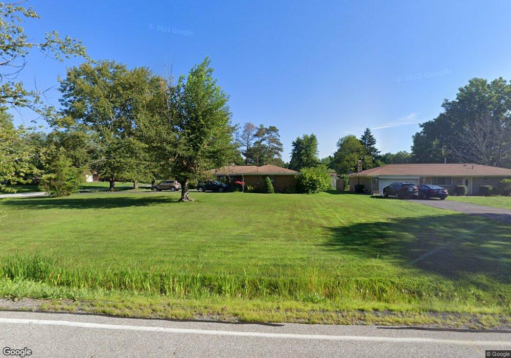
1515 Bonnie Rd MacEdonia, OH 44056
Estimated Value: $237,000 - $252,000
3
Beds
2
Baths
1,305
Sq Ft
$186/Sq Ft
Est. Value
About This Home
This home is located at 1515 Bonnie Rd, MacEdonia, OH 44056 and is currently estimated at $242,571, approximately $185 per square foot. 1515 Bonnie Rd is a home located in Summit County with nearby schools including Lee Eaton Elementary School, Nordonia Middle School, and Nordonia High School.
Ownership History
Date
Name
Owned For
Owner Type
Purchase Details
Closed on
Nov 15, 2022
Sold by
County Treasurer
Bought by
Adair Asset Management Llc
Current Estimated Value
Purchase Details
Closed on
Jun 19, 2008
Sold by
Snyder Dawnel
Bought by
Snyder Dawnel and Fiber Johni
Home Financials for this Owner
Home Financials are based on the most recent Mortgage that was taken out on this home.
Original Mortgage
$93,600
Interest Rate
6.15%
Mortgage Type
New Conventional
Purchase Details
Closed on
Sep 29, 1998
Sold by
Est Delores M Ciha
Bought by
Snyder Dawnel
Home Financials for this Owner
Home Financials are based on the most recent Mortgage that was taken out on this home.
Original Mortgage
$80,000
Interest Rate
6.99%
Mortgage Type
New Conventional
Create a Home Valuation Report for This Property
The Home Valuation Report is an in-depth analysis detailing your home's value as well as a comparison with similar homes in the area
Home Values in the Area
Average Home Value in this Area
Purchase History
| Date | Buyer | Sale Price | Title Company |
|---|---|---|---|
| Adair Asset Management Llc | -- | -- | |
| Snyder Dawnel | -- | First American Title Ins | |
| Snyder Dawnel | $100,000 | -- |
Source: Public Records
Mortgage History
| Date | Status | Borrower | Loan Amount |
|---|---|---|---|
| Closed | Snyder Dawnel | $93,600 | |
| Closed | Snyder Dawnel | $80,000 |
Source: Public Records
Tax History Compared to Growth
Tax History
| Year | Tax Paid | Tax Assessment Tax Assessment Total Assessment is a certain percentage of the fair market value that is determined by local assessors to be the total taxable value of land and additions on the property. | Land | Improvement |
|---|---|---|---|---|
| 2025 | $3,704 | $65,076 | $14,868 | $50,208 |
| 2024 | $3,704 | $65,076 | $14,868 | $50,208 |
| 2023 | $3,704 | $65,076 | $14,868 | $50,208 |
| 2022 | $3,639 | $51,325 | $11,708 | $39,617 |
| 2021 | $3,406 | $51,325 | $11,708 | $39,617 |
| 2020 | $2,780 | $51,330 | $11,710 | $39,620 |
| 2019 | $2,721 | $45,310 | $11,120 | $34,190 |
| 2018 | $2,371 | $45,310 | $11,120 | $34,190 |
| 2017 | $2,245 | $45,310 | $11,120 | $34,190 |
| 2016 | $2,278 | $40,370 | $11,120 | $29,250 |
| 2015 | $2,245 | $40,370 | $11,120 | $29,250 |
| 2014 | $2,230 | $40,370 | $11,120 | $29,250 |
| 2013 | $2,514 | $45,470 | $11,120 | $34,350 |
Source: Public Records
Map
Nearby Homes
- 1533 Bradford Dr
- 1632 Strauss Ln
- 9232 Chamberlin Rd
- 0 Chamberlin Rd Unit 5171385
- VL Shepard Rd
- SL 1 Chamberlin Rd
- 9387 Hyde Park Dr
- 34 E Aurora Rd
- SL 2 Chamberlin Rd
- 9391 Monticello Dr
- 9452 Fairfield Dr
- 1780 Rolling Hills Dr Unit B
- 8607 Alexis Dr
- 1028 Sherwood Dr
- 2092 Holmes Dr
- 1035 Skyland Dr
- 9537 Ridge Ct Unit 7
- 8335 Shepard Rd
- 1621 Ridgewood Ct
- 1816 Westwood Dr