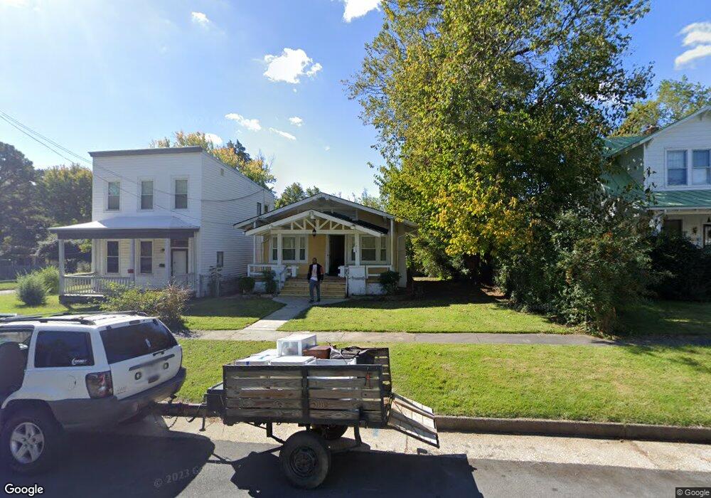
1515 Custer St Richmond, VA 23222
Chestnut Hill NeighborhoodEstimated Value: $161,000 - $212,000
3
Beds
1
Bath
911
Sq Ft
$211/Sq Ft
Est. Value
About This Home
This home is located at 1515 Custer St, Richmond, VA 23222 and is currently estimated at $192,166, approximately $210 per square foot. 1515 Custer St is a home located in Richmond City with nearby schools including Overby-Sheppard Elementary School, Henderson Middle School, and Open High School.
Ownership History
Date
Name
Owned For
Owner Type
Purchase Details
Closed on
Apr 12, 2010
Sold by
Lane Frankie E
Bought by
Johnsons Community Bonding Llc
Current Estimated Value
Home Financials for this Owner
Home Financials are based on the most recent Mortgage that was taken out on this home.
Original Mortgage
$53,000
Outstanding Balance
$35,247
Interest Rate
4.97%
Mortgage Type
New Conventional
Estimated Equity
$156,919
Purchase Details
Closed on
Aug 31, 2006
Sold by
Lane Frankie
Bought by
Powell Michael
Home Financials for this Owner
Home Financials are based on the most recent Mortgage that was taken out on this home.
Original Mortgage
$53,000
Interest Rate
6.79%
Mortgage Type
New Conventional
Purchase Details
Closed on
Dec 5, 1997
Bought by
Lane Frankie
Create a Home Valuation Report for This Property
The Home Valuation Report is an in-depth analysis detailing your home's value as well as a comparison with similar homes in the area
Home Values in the Area
Average Home Value in this Area
Purchase History
| Date | Buyer | Sale Price | Title Company |
|---|---|---|---|
| Johnsons Community Bonding Llc | $55,500 | -- | |
| Powell Michael | $55,500 | -- | |
| Lane Frankie | -- | -- | |
| Lane Frankie | -- | -- |
Source: Public Records
Mortgage History
| Date | Status | Borrower | Loan Amount |
|---|---|---|---|
| Open | Johnsons Community Bonding Llc | $53,000 | |
| Previous Owner | Powell Michael | $53,000 |
Source: Public Records
Tax History
| Year | Tax Paid | Tax Assessment Tax Assessment Total Assessment is a certain percentage of the fair market value that is determined by local assessors to be the total taxable value of land and additions on the property. | Land | Improvement |
|---|---|---|---|---|
| 2025 | $1,452 | $129,000 | $66,000 | $63,000 |
| 2024 | $1,452 | $121,000 | $61,000 | $60,000 |
| 2023 | $1,452 | $121,000 | $61,000 | $60,000 |
| 2022 | $1,224 | $102,000 | $44,000 | $58,000 |
| 2020 | $1,068 | $89,000 | $34,000 | $55,000 |
| 2019 | $911 | $76,000 | $25,000 | $51,000 |
| 2018 | $864 | $72,000 | $25,000 | $47,000 |
| 2017 | $840 | $70,000 | $24,000 | $46,000 |
| 2016 | $828 | $69,000 | $24,000 | $45,000 |
| 2015 | $816 | $69,000 | $24,000 | $45,000 |
| 2014 | $816 | $68,000 | $24,000 | $44,000 |
Source: Public Records
Map
Nearby Homes
- 1516 Custer St
- 1514 Custer St
- 2712 4th Ave
- 1609 Pulaski St
- 1621 Pulaski St
- 3116 5th Ave
- 1110 Fourqurean Ln
- 3123 4th Ave
- 1113 E Brookland Park Blvd
- 3200 4th Ave
- 3223 Detroit Ave
- 2416 3rd Ave
- 1206 Newbury Ave
- 1004 E Brookland Park Blvd
- 3107 Enslow Ave
- 2312 2nd Ave
- 2305 Overby Bend Rd
- 2301 Overby Bend Rd
- 2307 1st Ave
- 2202 3rd Ave
Your Personal Tour Guide
Ask me questions while you tour the home.