1515 Locust Grove Rd New Tazewell, TN 37825
Estimated Value: $282,000 - $443,000
--
Bed
1
Bath
1,329
Sq Ft
$261/Sq Ft
Est. Value
About This Home
This home is located at 1515 Locust Grove Rd, New Tazewell, TN 37825 and is currently estimated at $346,815, approximately $260 per square foot. 1515 Locust Grove Rd is a home located in Claiborne County.
Ownership History
Date
Name
Owned For
Owner Type
Purchase Details
Closed on
Oct 25, 1999
Sold by
Hill Mary L Sue
Bought by
Taylor Earnie F and Taylor Peggy S
Current Estimated Value
Purchase Details
Closed on
Jan 6, 1998
Sold by
Trott Jack and Trott Lorene
Bought by
Hill Mary
Purchase Details
Closed on
Aug 23, 1989
Bought by
Trott Jack and Trott Lorene
Purchase Details
Closed on
Jan 1, 1960
Bought by
Trott Jack and Trott Lorene
Create a Home Valuation Report for This Property
The Home Valuation Report is an in-depth analysis detailing your home's value as well as a comparison with similar homes in the area
Home Values in the Area
Average Home Value in this Area
Purchase History
| Date | Buyer | Sale Price | Title Company |
|---|---|---|---|
| Taylor Earnie F | $95,000 | -- | |
| Hill Mary | $69,000 | -- | |
| Trott Jack | -- | -- | |
| Trott Jack | -- | -- |
Source: Public Records
Tax History Compared to Growth
Tax History
| Year | Tax Paid | Tax Assessment Tax Assessment Total Assessment is a certain percentage of the fair market value that is determined by local assessors to be the total taxable value of land and additions on the property. | Land | Improvement |
|---|---|---|---|---|
| 2024 | $1,005 | $42,950 | $15,400 | $27,550 |
| 2023 | $1,005 | $42,950 | $15,400 | $27,550 |
| 2022 | $859 | $42,950 | $15,400 | $27,550 |
| 2021 | $740 | $28,725 | $12,450 | $16,275 |
| 2020 | $740 | $28,725 | $12,450 | $16,275 |
| 2019 | $740 | $28,725 | $12,450 | $16,275 |
| 2018 | $740 | $28,725 | $12,450 | $16,275 |
| 2017 | $740 | $28,725 | $12,450 | $16,275 |
| 2016 | $797 | $30,900 | $11,925 | $18,975 |
| 2015 | $766 | $30,900 | $11,925 | $18,975 |
| 2014 | $766 | $30,914 | $0 | $0 |
Source: Public Records
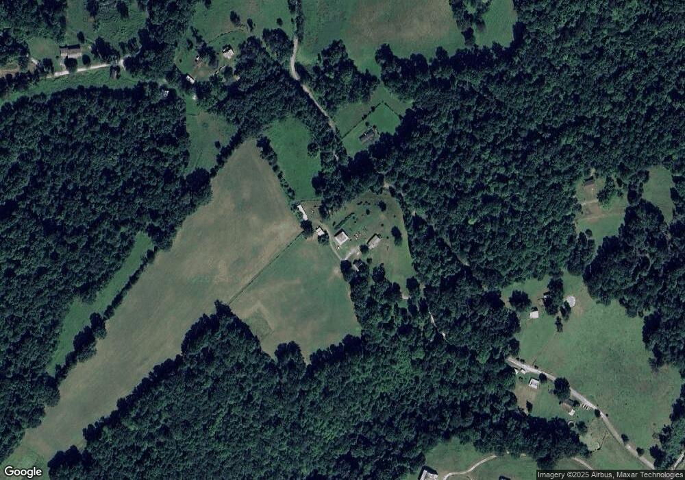
Map
Nearby Homes
- 1564 Locust Grove Rd
- 0 Chestnut Grove Rd
- 0 Friendship Hollow Rd
- 779 Goin Rd
- 0 Slate Creek Rd
- 0 Cupp Ridge Rd
- 0 Lonesome Valley Rd
- 680 Crestwood Dr
- 454 Atkins Rd
- 0 Powell Ridge Rd
- TBD Middle Ct
- Lot 162 Crestwood Dr
- Lot 160 Crestwood Dr
- Lot 158 Crestwood Dr
- Lot 159 Crestwood Dr
- Lot 156 Crestwood Dr
- Lot 157 Crestwood Dr
- Lot 133 Maiden Ln
- Lot 142 Maiden Ln
- Lot 145 Crestwood Dr
- 1797 Locust Grove Rd
- 1710 Locust Grove Rd
- 1711 Locust Grove Rd
- 1433 Locust Grove Rd
- 1524 Locust Grove Rd
- 1827 Locust Grove Rd
- 212 Locust Ln
- 0 Locust Grove Rd
- 1318 Locust Grove Rd
- 0 Slaughter House Rd
- 1376 Locust Grove Rd
- 2264 Locust Grove Rd
- 80+ ACRES Bunch Hollow Rd
- 1088 Locust Grove Rd
- 1088 Locust Grove Rd
- 0 Locust Grove Unit 1242569
- 0 Locust Grove Unit 1242568
- 1056 Locust Grove Rd
- 71.40 AC. Bunch Hollow Rd
- 947 Locust Grove Rd