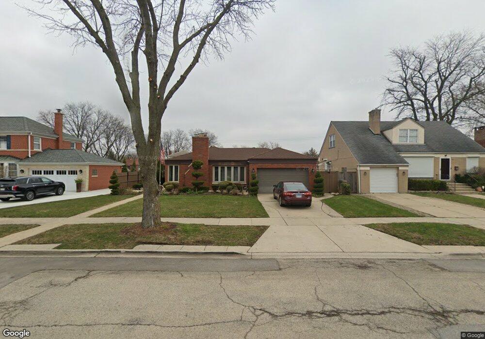
1515 Newcastle Ave Westchester, IL 60154
Estimated Value: $367,603 - $416,000
4
Beds
2
Baths
1,572
Sq Ft
$249/Sq Ft
Est. Value
About This Home
This home is located at 1515 Newcastle Ave, Westchester, IL 60154 and is currently estimated at $391,151, approximately $248 per square foot. 1515 Newcastle Ave is a home located in Cook County with nearby schools including Westchester Primary School, Westchester Intermediate School, and Westchester Middle School.
Ownership History
Date
Name
Owned For
Owner Type
Purchase Details
Closed on
Jul 2, 1995
Sold by
Baggett John D
Bought by
Young Robert L and Young Georgia M
Current Estimated Value
Home Financials for this Owner
Home Financials are based on the most recent Mortgage that was taken out on this home.
Original Mortgage
$170,950
Interest Rate
7.5%
Mortgage Type
Assumption
Create a Home Valuation Report for This Property
The Home Valuation Report is an in-depth analysis detailing your home's value as well as a comparison with similar homes in the area
Home Values in the Area
Average Home Value in this Area
Purchase History
| Date | Buyer | Sale Price | Title Company |
|---|---|---|---|
| Young Robert L | -- | Land Title Group |
Source: Public Records
Mortgage History
| Date | Status | Borrower | Loan Amount |
|---|---|---|---|
| Closed | Young Robert L | $170,950 |
Source: Public Records
Tax History Compared to Growth
Tax History
| Year | Tax Paid | Tax Assessment Tax Assessment Total Assessment is a certain percentage of the fair market value that is determined by local assessors to be the total taxable value of land and additions on the property. | Land | Improvement |
|---|---|---|---|---|
| 2024 | -- | $28,000 | $6,097 | $21,903 |
| 2023 | -- | $28,000 | $6,097 | $21,903 |
| 2022 | $0 | $22,490 | $5,226 | $17,264 |
| 2021 | $2,543 | $22,489 | $5,226 | $17,263 |
| 2020 | $2,543 | $22,489 | $5,226 | $17,263 |
| 2019 | $0 | $25,370 | $4,790 | $20,580 |
| 2018 | $0 | $25,370 | $4,790 | $20,580 |
| 2017 | $0 | $25,370 | $4,790 | $20,580 |
| 2016 | $0 | $19,743 | $4,355 | $15,388 |
| 2015 | $0 | $19,743 | $4,355 | $15,388 |
| 2014 | $4,624 | $19,743 | $4,355 | $15,388 |
| 2013 | $5,267 | $24,334 | $4,355 | $19,979 |
Source: Public Records
Map
Nearby Homes
- 1500 Bristol Ave
- 1623 Manchester Ave
- 1433 Bristol Ave
- 1601 Bristol Ave
- 10072 Drury Ln
- 1907 Suffolk Ave
- 1900 Manchester Ave
- 1932 Newcastle Ave
- 1840 Gardner Rd
- 1247 S Mannheim Rd Unit 3
- 1119 Newcastle Ave
- 2128 Hull Ave
- 10524 Camelot St
- 10531 Camelot St
- 920 Suffolk Ave
- 10567 Waterford Dr
- 923 Manchester Ave
- 814 Norfolk Ave
- 805 Norfolk Ave
- 750 Bristol Ave
- 1505 Newcastle Ave
- 1525 Newcastle Ave
- 1512 Portsmouth Ave
- 1506 Portsmouth Ave
- 1518 Portsmouth Ave
- 1500 Portsmouth Ave
- 1522 Portsmouth Ave
- 1531 Newcastle Ave
- 1512 Newcastle Ave
- 1518 Newcastle Ave
- 1528 Portsmouth Ave
- 1522 Newcastle Ave
- 1500 Newcastle Ave
- 1537 Newcastle Ave
- 1455 Newcastle Ave
- 1528 Newcastle Ave
- 1538 Portsmouth Ave
- 1456 Portsmouth Ave
- 1534 Newcastle Ave