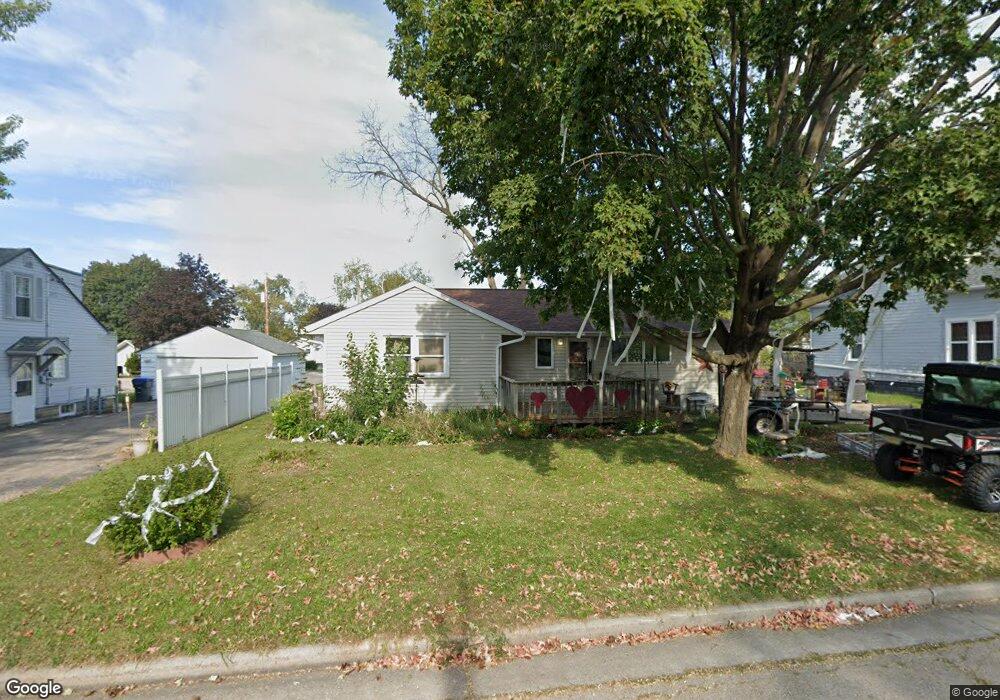
1515 Pershing Rd New London, WI 54961
Estimated Value: $195,805 - $269,000
--
Bed
--
Bath
--
Sq Ft
8,886
Sq Ft Lot
About This Home
This home is located at 1515 Pershing Rd, New London, WI 54961 and is currently estimated at $245,201. 1515 Pershing Rd is a home located in Waupaca County with nearby schools including Parkview Elementary School, New London Middle School, and New London High School.
Ownership History
Date
Name
Owned For
Owner Type
Purchase Details
Closed on
Dec 9, 2005
Sold by
Ward Lori A and Ward Bryant
Bought by
Thieme Nicole M
Current Estimated Value
Home Financials for this Owner
Home Financials are based on the most recent Mortgage that was taken out on this home.
Original Mortgage
$30,450
Outstanding Balance
$17,229
Interest Rate
6.48%
Mortgage Type
Purchase Money Mortgage
Estimated Equity
$227,972
Create a Home Valuation Report for This Property
The Home Valuation Report is an in-depth analysis detailing your home's value as well as a comparison with similar homes in the area
Home Values in the Area
Average Home Value in this Area
Purchase History
| Date | Buyer | Sale Price | Title Company |
|---|---|---|---|
| Thieme Nicole M | $105,000 | None Available |
Source: Public Records
Mortgage History
| Date | Status | Borrower | Loan Amount |
|---|---|---|---|
| Open | Thieme Nicole M | $30,450 | |
| Open | Thieme Nicole M | $74,550 |
Source: Public Records
Tax History Compared to Growth
Tax History
| Year | Tax Paid | Tax Assessment Tax Assessment Total Assessment is a certain percentage of the fair market value that is determined by local assessors to be the total taxable value of land and additions on the property. | Land | Improvement |
|---|---|---|---|---|
| 2024 | $2,672 | $114,300 | $18,600 | $95,700 |
| 2023 | $2,672 | $114,300 | $18,600 | $95,700 |
| 2022 | $2,463 | $114,300 | $18,600 | $95,700 |
| 2021 | $2,496 | $114,300 | $18,600 | $95,700 |
| 2020 | $2,544 | $114,300 | $18,600 | $95,700 |
| 2019 | $2,495 | $114,300 | $18,600 | $95,700 |
| 2018 | $2,389 | $114,300 | $18,600 | $95,700 |
| 2017 | $2,493 | $114,300 | $18,600 | $95,700 |
| 2016 | $2,369 | $104,700 | $18,600 | $86,100 |
| 2015 | $2,450 | $104,700 | $18,600 | $86,100 |
| 2014 | $2,406 | $104,700 | $18,600 | $86,100 |
| 2013 | $2,466 | $104,700 | $18,600 | $86,100 |
Source: Public Records
Map
Nearby Homes
- 1802 Nassau St
- 102 E Cameron St
- 610 W Pine St
- 1420 Division St
- 903 Smith St
- 1801 Southland Ln
- 1835 Southland Ln
- 1931 Southland Ln
- 1930 Southland Ln
- 1109 Algoma St
- 408 Wallace St
- 200 W Beacon Ave
- 1605 Cedarhurst Dr
- 907 W Beacon Ave
- 401 E Beacon Ave
- 0 Shawano St Unit 50295803
- 0 Shawano St Unit 50257475
- 514 E Beacon Ave
- 211 E Wolf River Ave
- 803 W North Water St
- 1511 Pershing Rd
- 1519 Pershing Rd
- 1504 Dexter St
- 1503 Pershing Rd
- 1416 Dexter St
- 1510 Pershing Rd
- 1501 Pershing Rd
- 1518 Pershing Rd
- 1505 Dexter St
- 1509 Dexter St
- 1515 Dexter St
- 1504 Pershing Rd Unit 1506
- 1417 Dexter St
- 1524 Pershing Rd
- 1410 Dexter St
- 1601 Wyman St Unit 1603
- 1607 Pershing Rd
- 1411 Dexter St
- 1506 Jefferson St
- 1607 Wyman St