1515 Waynesborough Ct Marietta, GA 30062
East Cobb NeighborhoodEstimated Value: $801,000 - $998,000
4
Beds
4
Baths
3,538
Sq Ft
$256/Sq Ft
Est. Value
About This Home
This home is located at 1515 Waynesborough Ct, Marietta, GA 30062 and is currently estimated at $906,078, approximately $256 per square foot. 1515 Waynesborough Ct is a home located in Cobb County with nearby schools including East Side Elementary School, Dodgen Middle School, and Walton High School.
Ownership History
Date
Name
Owned For
Owner Type
Purchase Details
Closed on
Nov 7, 2001
Sold by
Cannon Robert S and Cannon Martha B
Bought by
White John T and White Dale P
Current Estimated Value
Home Financials for this Owner
Home Financials are based on the most recent Mortgage that was taken out on this home.
Original Mortgage
$360,000
Outstanding Balance
$137,619
Interest Rate
6.57%
Mortgage Type
New Conventional
Estimated Equity
$768,459
Create a Home Valuation Report for This Property
The Home Valuation Report is an in-depth analysis detailing your home's value as well as a comparison with similar homes in the area
Home Values in the Area
Average Home Value in this Area
Purchase History
| Date | Buyer | Sale Price | Title Company |
|---|---|---|---|
| White John T | $450,000 | -- |
Source: Public Records
Mortgage History
| Date | Status | Borrower | Loan Amount |
|---|---|---|---|
| Open | White John T | $360,000 |
Source: Public Records
Tax History Compared to Growth
Tax History
| Year | Tax Paid | Tax Assessment Tax Assessment Total Assessment is a certain percentage of the fair market value that is determined by local assessors to be the total taxable value of land and additions on the property. | Land | Improvement |
|---|---|---|---|---|
| 2025 | $1,915 | $330,752 | $80,000 | $250,752 |
| 2024 | $1,922 | $330,752 | $80,000 | $250,752 |
| 2023 | $1,570 | $282,072 | $72,000 | $210,072 |
| 2022 | $1,690 | $253,208 | $72,000 | $181,208 |
| 2021 | $1,616 | $228,256 | $57,200 | $171,056 |
| 2020 | $1,616 | $228,256 | $57,200 | $171,056 |
| 2019 | $1,616 | $228,256 | $57,200 | $171,056 |
| 2018 | $1,576 | $215,064 | $57,200 | $157,864 |
| 2017 | $1,410 | $215,064 | $57,200 | $157,864 |
| 2016 | $1,379 | $201,868 | $57,200 | $144,668 |
| 2015 | $1,480 | $201,868 | $57,200 | $144,668 |
| 2014 | $5,138 | $201,868 | $0 | $0 |
Source: Public Records
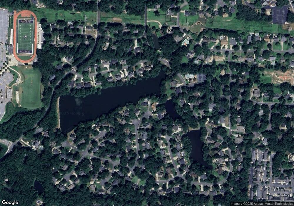
Map
Nearby Homes
- 3999 Tall Pine Dr
- 4039 Tall Pine Dr
- 4031 Oak Forest Cir
- 1680 Bill Murdock Rd
- 3825 Emerson St
- 718 Trevett Way
- 4255 Green Ridge Dr
- 1038 Seven Springs Cir
- 3792 Raccoon Run
- 1942 Hunters Bend Ct
- 1195 Fielding Way
- 3495 Mill Bridge Dr Unit 2
- 2237 Chadds Creek Dr
- 1257 Independence Way
- 1164 Fairfield Dr
- 4030 Addie Ln Unit 5
- 4580 Roswell Rd
- 1512 Waynesborough Ct
- 1513 Waynesborough Ct
- 1510 Waynesborough Ct
- 1511 Waynesborough Ct
- 1508 Waynesborough Ct Unit 2
- 1509 Waynesborough Ct
- 4074 Penhurst Dr
- 4073 Penhurst Dr Unit 1B
- 1506 Waynesborough Ct
- 4012 Penhurst Dr Unit 1A
- 4024 Penhurst Dr
- 1507 Waynesborough Ct
- 4016 Penhurst Dr Unit 1A
- 4026 Penhurst Dr Unit 1
- 4010 Penhurst Dr
- 4030 Penhurst Dr
- 1506 Dansford Ct N
- 4072 Penhurst Dr
- 1505 Waynesborough Ct Unit 2
- 4032 Penhurst Dr