15150 Davis Rd Peyton, CO 80831
Falcon NeighborhoodEstimated Value: $518,000 - $692,000
5
Beds
3
Baths
1,400
Sq Ft
$449/Sq Ft
Est. Value
About This Home
This home is located at 15150 Davis Rd, Peyton, CO 80831 and is currently estimated at $628,919, approximately $449 per square foot. 15150 Davis Rd is a home located in El Paso County with nearby schools including Falcon Elementary School Of Technology, Falcon Middle School, and Falcon High School.
Ownership History
Date
Name
Owned For
Owner Type
Purchase Details
Closed on
Jul 29, 1993
Bought by
Cura Ricardo E and Cura Edith A
Current Estimated Value
Purchase Details
Closed on
Jul 1, 1982
Bought by
Cura Ricardo E and Cura Edith A
Purchase Details
Closed on
Mar 6, 1980
Bought by
Cura Ricardo E and Cura Edith A
Purchase Details
Closed on
Feb 17, 1965
Bought by
Cura Ricardo E and Cura Edith A
Create a Home Valuation Report for This Property
The Home Valuation Report is an in-depth analysis detailing your home's value as well as a comparison with similar homes in the area
Home Values in the Area
Average Home Value in this Area
Purchase History
| Date | Buyer | Sale Price | Title Company |
|---|---|---|---|
| Cura Ricardo E | $30,000 | -- | |
| Cura Ricardo E | -- | -- | |
| Cura Ricardo E | -- | -- | |
| Cura Ricardo E | -- | -- |
Source: Public Records
Tax History
| Year | Tax Paid | Tax Assessment Tax Assessment Total Assessment is a certain percentage of the fair market value that is determined by local assessors to be the total taxable value of land and additions on the property. | Land | Improvement |
|---|---|---|---|---|
| 2025 | $2,689 | $44,720 | -- | -- |
| 2024 | $2,578 | $41,530 | $10,860 | $30,670 |
| 2023 | $2,578 | $41,530 | $10,860 | $30,670 |
| 2022 | $1,698 | $24,450 | $9,840 | $14,610 |
| 2021 | $1,765 | $25,150 | $10,120 | $15,030 |
| 2020 | $1,527 | $21,650 | $7,870 | $13,780 |
| 2019 | $1,513 | $21,650 | $7,870 | $13,780 |
| 2018 | $1,260 | $17,720 | $6,710 | $11,010 |
| 2017 | $1,154 | $17,720 | $6,710 | $11,010 |
| 2016 | $1,097 | $16,630 | $7,090 | $9,540 |
| 2015 | $1,098 | $16,630 | $7,090 | $9,540 |
| 2014 | $1,056 | $15,690 | $6,750 | $8,940 |
Source: Public Records
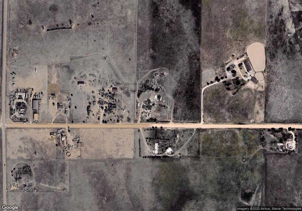
Map
Nearby Homes
- 0 Davis Rd
- 2955 Hoofprint Rd
- 14655 Davis Rd
- 2070 Terri Lee Dr
- 2265 Terri Lee Dr
- 2115 Terri Lee Dr
- 3380 Curtis Rd
- 9475 N Curtis Rd
- 1355 Houseman Rd
- 2550 Slocum Rd
- 2105 Slocum Rd
- 3250 Slocum Rd
- 4215 Los Ranchitos Dr
- 15030 Highway 94
- 15080 Highway 94
- 3520 Slocum Rd
- 3680 Slocum Rd
- 16575 Cathys Loop
- 14240 Highway 94
- 16855 Sage Crest Rd
- 14990 Davis Rd
- 15075 Davis Rd
- 2970 Hoofprint Rd
- 2935 Hoofprint Rd
- 2995 Hoofprint Rd
- 2990 Hoofprint Rd
- 15190 Davis Rd
- 14850 Davis Rd
- 15375 Davis Rd
- 2415 Curtis Rd
- 14995 Russell Dr
- 2115 Curtis Rd
- 15245 Russell Dr
- 14925 Russell Dr
- 15510 Davis Rd
- 15180 Russell Dr
- 15270 Russell Dr
- 1955 Curtis Rd
- 14970 Russell Dr
- 14835 Russell Dr
Your Personal Tour Guide
Ask me questions while you tour the home.