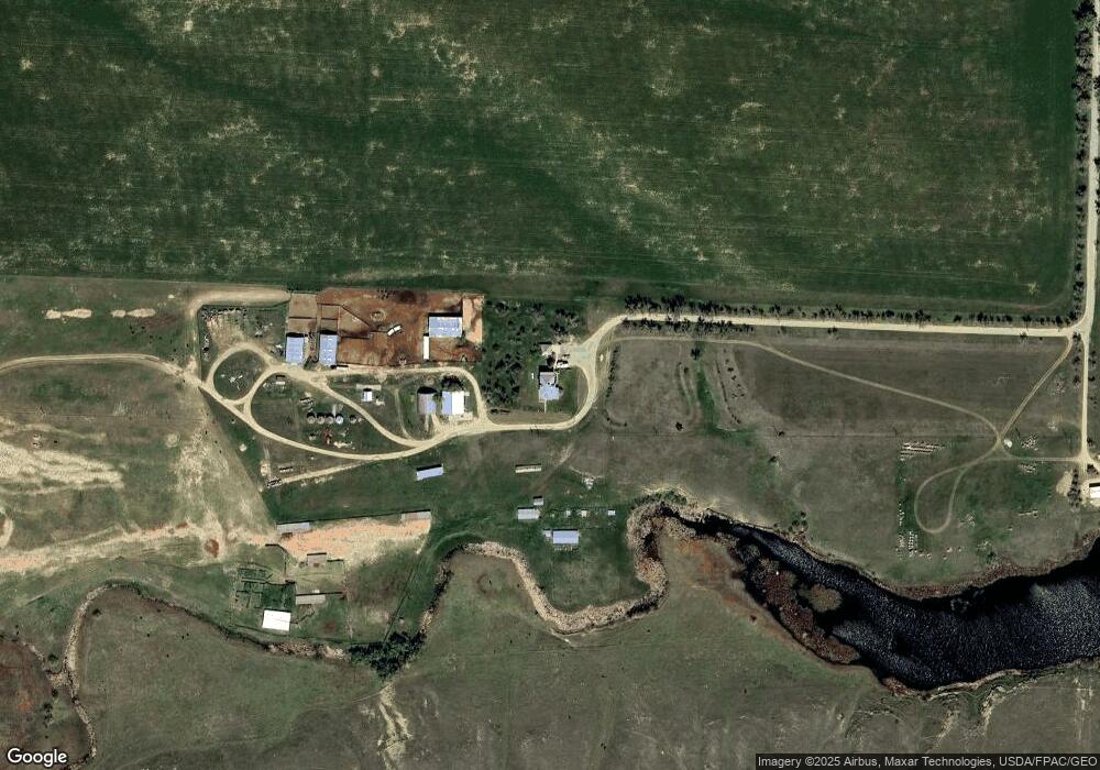
15152 Conover Rd Broadview, MT 59015
Estimated Value: $382,000 - $996,000
7
Beds
2
Baths
3,372
Sq Ft
$215/Sq Ft
Est. Value
About This Home
This home is located at 15152 Conover Rd, Broadview, MT 59015 and is currently estimated at $724,318, approximately $214 per square foot. 15152 Conover Rd is a home with nearby schools including Broadview High School.
Ownership History
Date
Name
Owned For
Owner Type
Purchase Details
Closed on
Jul 7, 2011
Sold by
Leathes Lewis B
Bought by
Heiken John C and Heiken Kendra M
Current Estimated Value
Home Financials for this Owner
Home Financials are based on the most recent Mortgage that was taken out on this home.
Original Mortgage
$216,750
Outstanding Balance
$84,478
Interest Rate
4.54%
Mortgage Type
Purchase Money Mortgage
Estimated Equity
$639,840
Purchase Details
Closed on
Sep 5, 2007
Sold by
Branch Water Llc
Bought by
Leathers Lewis B
Home Financials for this Owner
Home Financials are based on the most recent Mortgage that was taken out on this home.
Original Mortgage
$81,180
Interest Rate
6.67%
Mortgage Type
Purchase Money Mortgage
Create a Home Valuation Report for This Property
The Home Valuation Report is an in-depth analysis detailing your home's value as well as a comparison with similar homes in the area
Home Values in the Area
Average Home Value in this Area
Purchase History
| Date | Buyer | Sale Price | Title Company |
|---|---|---|---|
| Heiken John C | -- | Chicago Title | |
| Leathers Lewis B | -- | None Available |
Source: Public Records
Mortgage History
| Date | Status | Borrower | Loan Amount |
|---|---|---|---|
| Open | Heiken John C | $216,750 | |
| Previous Owner | Leathers Lewis B | $81,180 |
Source: Public Records
Tax History Compared to Growth
Tax History
| Year | Tax Paid | Tax Assessment Tax Assessment Total Assessment is a certain percentage of the fair market value that is determined by local assessors to be the total taxable value of land and additions on the property. | Land | Improvement |
|---|---|---|---|---|
| 2025 | $3,299 | $748,095 | $26,155 | $721,940 |
| 2024 | $3,299 | $597,267 | $18,847 | $578,420 |
| 2023 | $3,191 | $597,267 | $18,847 | $578,420 |
| 2022 | $2,910 | $482,334 | $11,034 | $471,300 |
| 2021 | $2,884 | $482,334 | $0 | $0 |
| 2020 | $2,603 | $441,319 | $0 | $0 |
| 2019 | $2,596 | $441,319 | $0 | $0 |
| 2018 | $2,341 | $389,495 | $0 | $0 |
| 2017 | $2,220 | $389,495 | $0 | $0 |
| 2016 | $2,394 | $417,916 | $0 | $0 |
| 2015 | $2,344 | $417,916 | $0 | $0 |
| 2014 | $2,227 | $200,582 | $0 | $0 |
Source: Public Records
Map
Nearby Homes
- TBD 4th St
- 14053 4th St
- 14050 4th St
- TBD Goose Neck Rd
- 530 Belmont Rd
- 00 W Comanche Rd
- lot 3 Rocky Ave
- 9784 Winter Wheat Way
- TBD Winter Wheat Way
- TBD Newana Ln
- TBD Winalta Ave
- TBD Roughrider Rd
- 325 Main St
- 209 First St E
- 113 First Ave W
- 201 Bundy Rd
- 72 Pioneer Trail
- 7954 Popelka Rd
- 7069 Mainwaring Rd
- Wrr-2 Shepherd Acton Rd