15155 Dads Dr Park Rapids, MN 56470
Estimated Value: $704,000 - $1,379,000
Studio
--
Bath
3,599
Sq Ft
$275/Sq Ft
Est. Value
About This Home
This home is located at 15155 Dads Dr, Park Rapids, MN 56470 and is currently estimated at $990,675, approximately $275 per square foot. 15155 Dads Dr is a home with nearby schools including Century Elementary School, Century School, and Park Rapids Area High School.
Ownership History
Date
Name
Owned For
Owner Type
Purchase Details
Closed on
Jun 16, 2025
Sold by
Schauer Andrew and Schauer Kiana
Bought by
Ackerman Nathan and Ackerman Annette
Current Estimated Value
Home Financials for this Owner
Home Financials are based on the most recent Mortgage that was taken out on this home.
Original Mortgage
$975,000
Interest Rate
5.71%
Mortgage Type
Credit Line Revolving
Purchase Details
Closed on
Jul 19, 2019
Sold by
Schauer Steven L and Schauer Joann
Bought by
Schauer Andrew L and Schauer Kiana
Home Financials for this Owner
Home Financials are based on the most recent Mortgage that was taken out on this home.
Original Mortgage
$450,000
Interest Rate
3.8%
Mortgage Type
Construction
Create a Home Valuation Report for This Property
The Home Valuation Report is an in-depth analysis detailing your home's value as well as a comparison with similar homes in the area
Home Values in the Area
Average Home Value in this Area
Purchase History
| Date | Buyer | Sale Price | Title Company |
|---|---|---|---|
| Ackerman Nathan | $1,226,000 | Hubbard County Abstract & Clos | |
| Schauer Andrew | $500 | Hubbard County Abstract & Clos | |
| Schauer Andrew L | $35,000 | -- |
Source: Public Records
Mortgage History
| Date | Status | Borrower | Loan Amount |
|---|---|---|---|
| Previous Owner | Ackerman Nathan | $975,000 | |
| Previous Owner | Schauer Andrew L | $450,000 |
Source: Public Records
Tax History
| Year | Tax Paid | Tax Assessment Tax Assessment Total Assessment is a certain percentage of the fair market value that is determined by local assessors to be the total taxable value of land and additions on the property. | Land | Improvement |
|---|---|---|---|---|
| 2024 | $7,394 | $1,138,000 | $59,600 | $1,078,400 |
| 2023 | $6,040 | $908,900 | $52,900 | $856,000 |
| 2022 | $6,136 | $942,600 | $51,100 | $891,500 |
| 2021 | $2,742 | $719,500 | $45,600 | $673,900 |
| 2020 | $152 | $331,000 | $47,200 | $283,800 |
| 2019 | $634 | $22,600 | $22,600 | $0 |
| 2018 | $646 | $89,300 | $89,300 | $0 |
| 2016 | -- | $87,900 | $87,900 | $0 |
Source: Public Records
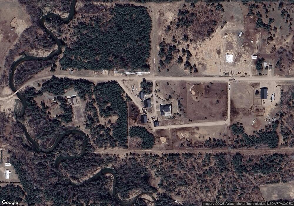
Map
Nearby Homes
- 31282 U S Highway 71
- xxx 170th St
- 800 Forest Ave
- 1008 Sunrise Cir
- 900 Pleasant Ave S
- 809 Pine St
- 603 7th St W
- 300 Central Ave S
- 16008 Discovery Cir
- ABC Henrietta Ave
- 107 Grove Ave N
- Lot 17 Discovery Cir
- Lot 16 Discovery Cir
- 707 Bridge St
- 15769 169th Ave
- XXX First St E (Hwy 34)
- 503 Lake Ave
- 716 Park Ave N Unit 3
- 14804 143rd Ave
- 14593 US 71
- 14907 Dads Dr
- 15386 Dads Dr
- 2340 Albert Ave S
- 715 Crocus Hill St E
- 15571 Deerwood Loop
- 2122 Albert Ave S
- 15561 Deerwood Loop
- 15591 Deerwood Loop
- 2342 Albert Ave S
- 15605 Deerwood Loop
- 15625 Downstream Dr
- 15590 Deerwood Loop
- 15551 Deerwood Loop
- 15617 Deerwood Loop
- 15546 Deerwood Loop
- 2110 Albert Ave S
- 15531 Deerwood Loop
- 1916 Albert Ave S
- 15534 Deerwood Loop
- 804 Crocus Hill St E
Your Personal Tour Guide
Ask me questions while you tour the home.