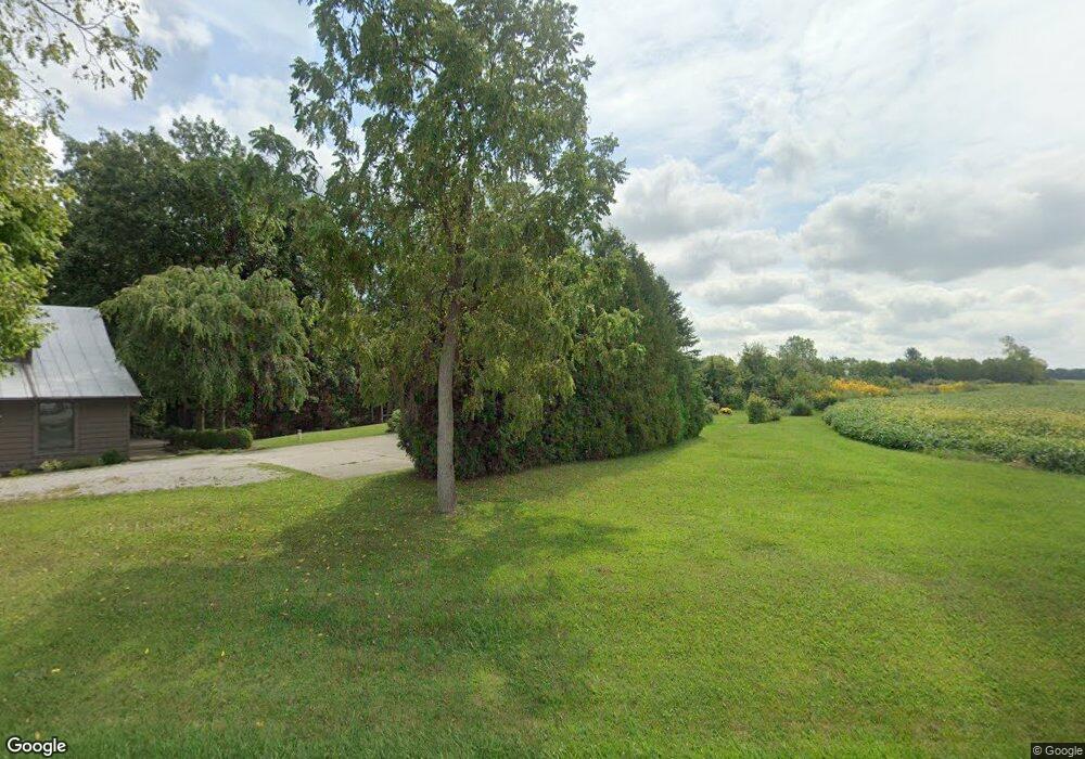
15155 State Highway 67 Upper Sandusky, OH 43351
Estimated Value: $140,000 - $173,000
2
Beds
1
Bath
1,288
Sq Ft
$119/Sq Ft
Est. Value
About This Home
This home is located at 15155 State Highway 67, Upper Sandusky, OH 43351 and is currently estimated at $152,882, approximately $118 per square foot. 15155 State Highway 67 is a home with nearby schools including Upper Sandusky High School and St. Peter Elementary School.
Ownership History
Date
Name
Owned For
Owner Type
Purchase Details
Closed on
Mar 4, 2003
Bought by
Myers Jeanette R
Current Estimated Value
Create a Home Valuation Report for This Property
The Home Valuation Report is an in-depth analysis detailing your home's value as well as a comparison with similar homes in the area
Home Values in the Area
Average Home Value in this Area
Purchase History
| Date | Buyer | Sale Price | Title Company |
|---|---|---|---|
| Myers Jeanette R | -- | -- |
Source: Public Records
Tax History Compared to Growth
Tax History
| Year | Tax Paid | Tax Assessment Tax Assessment Total Assessment is a certain percentage of the fair market value that is determined by local assessors to be the total taxable value of land and additions on the property. | Land | Improvement |
|---|---|---|---|---|
| 2024 | $793 | $35,900 | $3,610 | $32,290 |
| 2023 | $793 | $35,900 | $3,610 | $32,290 |
| 2022 | $825 | $32,640 | $3,280 | $29,360 |
| 2021 | $759 | $32,640 | $3,280 | $29,360 |
| 2020 | $759 | $32,640 | $3,280 | $29,360 |
| 2019 | $758 | $32,640 | $3,280 | $29,360 |
| 2018 | $430 | $22,610 | $2,860 | $19,750 |
| 2017 | $437 | $22,610 | $2,860 | $19,750 |
| 2016 | $677 | $22,610 | $2,860 | $19,750 |
| 2015 | -- | $22,300 | $2,860 | $19,440 |
| 2014 | -- | $22,300 | $2,860 | $19,440 |
| 2013 | -- | $22,300 | $2,860 | $19,440 |
Source: Public Records
Map
Nearby Homes
- 379 Spring St
- 381 & 383 W Johnson St
- US 30 Sr 23
- 203 203 1/2 E Crawford St
- 221&221 1/2 S 7th St
- 0 State Highway 53 Unit 6132082
- 602 S 7th St
- 7900 State Highway 294
- 454 N Sandusky Ave
- 430 S Sandusky Ave
- 326 S 8th St
- 225 S Hazel St
- 346 W Hicks St
- 14319 County Highway 64
- 7367 Wyandot St
- 305 S 5th St
- 11650 Township Highway 103
- 213 E Johnson St
- 137 N 8th St
- 386 W Finley St
- 15162 State Highway 67
- 15099 State Highway 67
- 15260 State Highway 67
- 15034 State Highway 67
- 15035 State Highway 67
- 14862 State Highway 67
- 15371 State Highway 67
- 14997 Township Highway 108
- 15039 County Highway 109
- 15095 County Highway 109
- 15368 County Highway 109
- 15242 Township Highway 108
- 15251 County Highway 109
- 14913 County Highway 109
- 15039 C H 109
- 15039 County Hwy
- 14826 Township Highway 108
- 15423 County Highway 109
- 14525 Township Highway 108
- 15631 County Highway 109