Estimated Value: $325,000 - $367,000
3
Beds
2
Baths
2,162
Sq Ft
$164/Sq Ft
Est. Value
About This Home
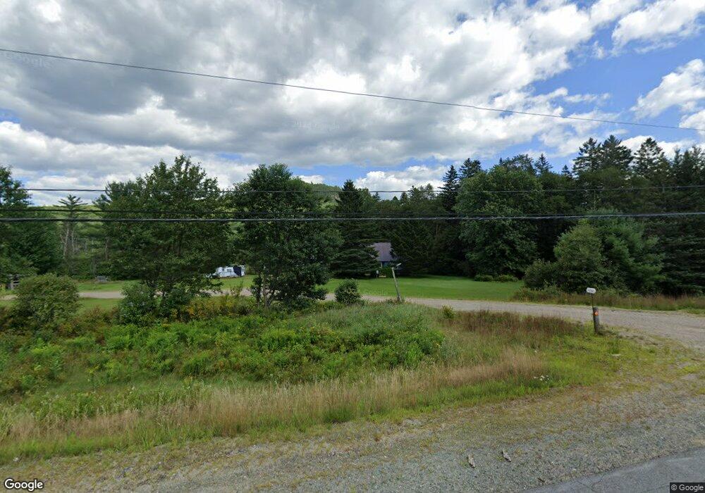
This home is located at 1516 Stark Hwy, Stark, NH 03582 and is currently estimated at $354,350, approximately $163 per square foot. 1516 Stark Hwy is a home located in Coos County.
Create a Home Valuation Report for This Property
The Home Valuation Report is an in-depth analysis detailing your home's value as well as a comparison with similar homes in the area
Home Values in the Area
Average Home Value in this Area
Tax History Compared to Growth
Tax History
| Year | Tax Paid | Tax Assessment Tax Assessment Total Assessment is a certain percentage of the fair market value that is determined by local assessors to be the total taxable value of land and additions on the property. | Land | Improvement |
|---|---|---|---|---|
| 2024 | $3,686 | $339,400 | $99,500 | $239,900 |
| 2023 | $3,421 | $165,100 | $42,300 | $122,800 |
| 2022 | $2,644 | $161,600 | $42,300 | $119,300 |
| 2021 | $3,219 | $161,600 | $42,300 | $119,300 |
| 2020 | $2,909 | $161,600 | $42,300 | $119,300 |
| 2019 | $2,920 | $161,600 | $42,300 | $119,300 |
| 2018 | $2,601 | $144,800 | $33,100 | $111,700 |
| 2017 | $2,634 | $144,800 | $33,100 | $111,700 |
| 2016 | $2,522 | $144,800 | $33,100 | $111,700 |
| 2015 | $2,463 | $144,800 | $33,100 | $111,700 |
| 2014 | $2,531 | $144,800 | $33,100 | $111,700 |
| 2013 | $2,711 | $155,100 | $35,000 | $120,100 |
Source: Public Records
Map
Nearby Homes
- 238 Northside Rd
- 750 Percy Rd
- 388 Percy Rd
- 338 Percy Rd
- 1435 Lost Nation Rd
- 112 Normand Rd
- 406 New Hampshire 110
- 68 Short Rd
- 13 Hillside Ave
- 41 Crow Hill St
- 18 State St
- 50 Church St
- 38 Riverside Dr
- 102 Hillside Ave
- 14 Summer St
- 88 State St
- 53 Montgomery Rd
- 00 Bell Hill Rd
- 00 Mountain View Rd
- 0 Mountain View Rd
- 1522 Stark Hwy
- 24 Town Garage Rd
- 9 Town Garage Rd
- 1542 Stark Hwy
- 2 Croteau Rd
- 7 Town Garage Rd
- 53 Town Garage Rd
- 50 Pilot Mountain Rd
- 16 Croteau Rd
- 42 Pilot Mountain Rd
- 00 Spaulding Hill Rd Unit 2
- 00 Spaulding Hill Rd Unit Lot 2
- 00 Spaulding Hill Rd
- 4.6 Pike Pond Rd
- Lot 4B Pike Pond Rd
- Lot 4 Pike Pond Rd
- 1148 Rte 3 Lancaster Rd
- 55 Town Garage Rd
- 42 Lunn Rd
- 249 Northside Rd