Estimated Value: $193,212 - $228,000
--
Bed
--
Bath
922
Sq Ft
$224/Sq Ft
Est. Value
About This Home
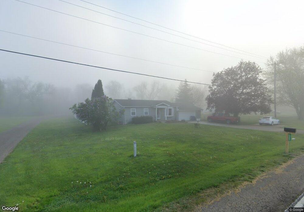
This home is located at 1516 W Reid Rd, Flint, MI 48507 and is currently estimated at $206,303, approximately $223 per square foot. 1516 W Reid Rd is a home located in Genesee County with nearby schools including Carman-Ainsworth High School, Woodland Park Academy, and Madison Academy - Elementary School.
Ownership History
Date
Name
Owned For
Owner Type
Purchase Details
Closed on
May 19, 2025
Sold by
Arseneault Daniel R
Bought by
Arseneault Daniel R and Vuncannon Brittany N
Current Estimated Value
Purchase Details
Closed on
May 24, 2017
Sold by
Arsenault David R
Bought by
Arsenault David R
Purchase Details
Closed on
Sep 27, 2016
Sold by
The Bernice J Arseneault Revocable Trust
Bought by
Arseneault David R
Purchase Details
Closed on
Jun 11, 2013
Sold by
Arseneault Bernice J
Bought by
Arseneault Bernice J and Bernice J Arseneault Revocable
Purchase Details
Closed on
Oct 3, 2011
Sold by
Gerow Bernice J
Bought by
Arseneault Benice R and Gerow Bernice J
Create a Home Valuation Report for This Property
The Home Valuation Report is an in-depth analysis detailing your home's value as well as a comparison with similar homes in the area
Home Values in the Area
Average Home Value in this Area
Purchase History
| Date | Buyer | Sale Price | Title Company |
|---|---|---|---|
| Arseneault Daniel R | -- | None Listed On Document | |
| Arsenault David R | -- | None Available | |
| Arseneault David R | $38,000 | None Available | |
| Arseneault Bernice J | -- | None Available | |
| Arseneault Benice R | -- | None Available |
Source: Public Records
Tax History Compared to Growth
Tax History
| Year | Tax Paid | Tax Assessment Tax Assessment Total Assessment is a certain percentage of the fair market value that is determined by local assessors to be the total taxable value of land and additions on the property. | Land | Improvement |
|---|---|---|---|---|
| 2025 | $2,414 | $87,500 | $0 | $0 |
| 2024 | $1,402 | $79,800 | $0 | $0 |
| 2023 | $1,337 | $72,000 | $0 | $0 |
| 2022 | $2,123 | $65,400 | $0 | $0 |
| 2021 | $1,248 | $61,800 | $0 | $0 |
| 2020 | $948 | $46,600 | $0 | $0 |
| 2019 | $934 | $43,500 | $0 | $0 |
| 2018 | $1,547 | $41,400 | $0 | $0 |
| 2017 | $1,334 | $35,700 | $0 | $0 |
| 2016 | $1,098 | $32,700 | $0 | $0 |
| 2015 | $633 | $29,300 | $0 | $0 |
| 2014 | $432 | $28,200 | $0 | $0 |
| 2012 | -- | $25,000 | $25,000 | $0 |
Source: Public Records
Map
Nearby Homes
- 1395 Windwood Ln
- 1389 Dellmont Dr
- 1283 Woodnoll Dr
- 0 Taylor Dr Unit 50159493
- 7191 Brittwood Ln
- 12000 Murray St Unit 67
- 7400 Lawrence St
- 6042 Birch Dr
- 7471 Brewer Rd
- 35010 Mitchell St Unit 210
- 41003 Williams St Unit 242
- 3010 Murray St Unit 18
- 3006 Murray St Unit 16
- 1195 Alton Ave
- 2144 W Hill Rd
- 22003 Wilson St Unit 128
- 7444 Rory St
- 8019 Bradbury Ln
- 8018 Bradbury Ln
- 1203 Froman St
- 1506 W Reid Rd
- 2004 W Reid Rd
- 2014 W Reid Rd
- 1494 W Reid Rd
- V/L W Reid Rd
- 1480 W Reid Rd
- 2028 W Reid Rd
- 0 W Reid Rd Unit 4906973
- 0 W Reid Rd Unit R214079184
- 2036 W Reid Rd
- 1466 W Reid Rd
- 1525 W Reid Rd
- 2041 W Reid Rd
- 1456 W Reid Rd
- 2044 W Reid Rd
- 2052 W Reid Rd
- 2015 W Reid Rd
- 2015 W Reid Rd
- 2062 W Reid Rd
- 2055 W Reid Rd