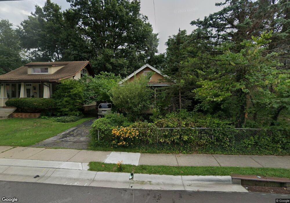
1517 Adams Rd Cincinnati, OH 45231
Estimated Value: $143,000 - $171,000
2
Beds
2
Baths
960
Sq Ft
$163/Sq Ft
Est. Value
About This Home
This home is located at 1517 Adams Rd, Cincinnati, OH 45231 and is currently estimated at $156,453, approximately $162 per square foot. 1517 Adams Rd is a home located in Hamilton County with nearby schools including Mt Healthy High School, Central Montessori Academy, and John Paul II Catholic School.
Ownership History
Date
Name
Owned For
Owner Type
Purchase Details
Closed on
Jan 15, 1996
Sold by
Stenger Christopher C and Stoeber Dolores G
Bought by
Stenger Nicholas M
Current Estimated Value
Home Financials for this Owner
Home Financials are based on the most recent Mortgage that was taken out on this home.
Original Mortgage
$17,211
Interest Rate
7.24%
Create a Home Valuation Report for This Property
The Home Valuation Report is an in-depth analysis detailing your home's value as well as a comparison with similar homes in the area
Home Values in the Area
Average Home Value in this Area
Purchase History
| Date | Buyer | Sale Price | Title Company |
|---|---|---|---|
| Stenger Nicholas M | $36,000 | -- |
Source: Public Records
Mortgage History
| Date | Status | Borrower | Loan Amount |
|---|---|---|---|
| Closed | Stenger Nicholas M | $17,211 |
Source: Public Records
Tax History
| Year | Tax Paid | Tax Assessment Tax Assessment Total Assessment is a certain percentage of the fair market value that is determined by local assessors to be the total taxable value of land and additions on the property. | Land | Improvement |
|---|---|---|---|---|
| 2025 | $1,613 | $29,953 | $7,238 | $22,715 |
| 2023 | $1,631 | $29,953 | $7,238 | $22,715 |
| 2022 | $1,736 | $22,894 | $6,045 | $16,849 |
| 2021 | $1,728 | $22,894 | $6,045 | $16,849 |
| 2020 | $1,731 | $22,894 | $6,045 | $16,849 |
| 2019 | $1,468 | $20,258 | $5,348 | $14,910 |
| 2018 | $1,476 | $20,258 | $5,348 | $14,910 |
| 2017 | $1,415 | $20,258 | $5,348 | $14,910 |
| 2016 | $1,291 | $18,026 | $6,220 | $11,806 |
| 2015 | $1,279 | $18,026 | $6,220 | $11,806 |
| 2014 | $1,270 | $18,026 | $6,220 | $11,806 |
| 2013 | $1,495 | $21,459 | $7,403 | $14,056 |
Source: Public Records
Map
Nearby Homes
- 1457 Adams Rd
- 7918 Southampton Ct
- 7849 Seward Ave
- 7718 Hamilton Ave
- 1545 Mcmakin Ave
- 7508 Elizabeth St
- 7832 Lincoln Ave
- 1503 Kinney Ave
- 1461 Kinney Ave
- 1478 Bonneville Ln
- 1579 Meredith Dr
- 1559 Meredith Dr
- 1405 Meredith Dr
- 1500 Madison Ave
- 1556 Meredith Dr
- 1283 Bellune Dr
- 1481 Saint Clair Ave
- 9811 Beau Ln
- 7324 Maple Ave
- 8491 Daly Rd
Your Personal Tour Guide
Ask me questions while you tour the home.